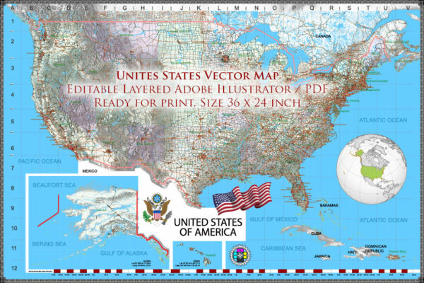
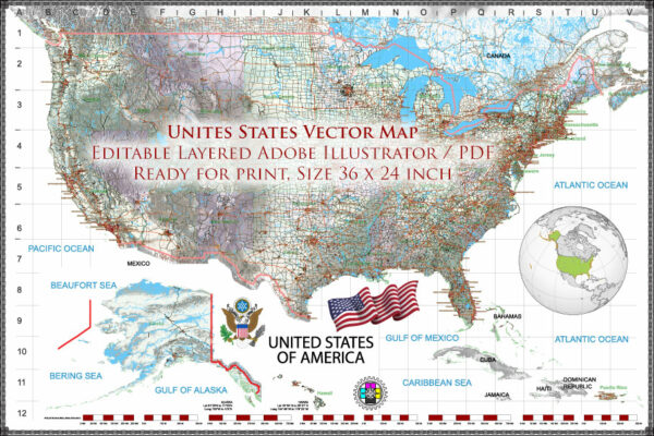
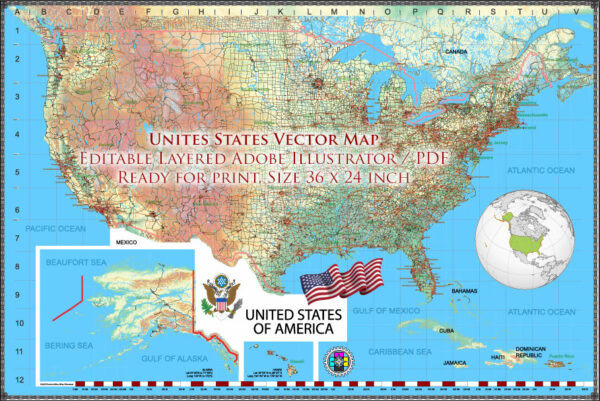
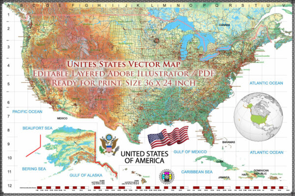
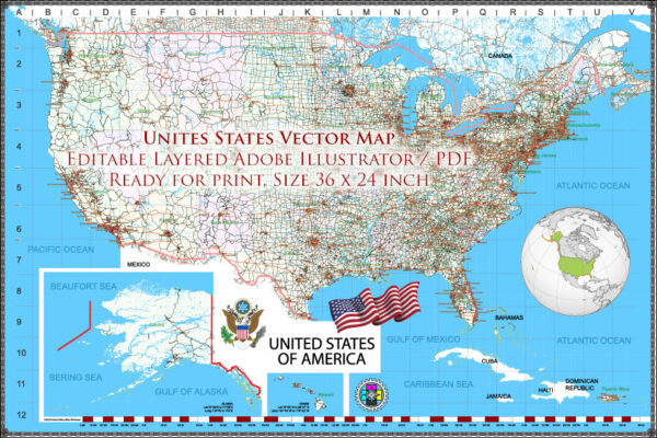
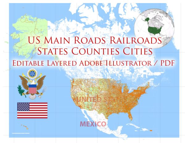
The United States road system is a vast network of highways, roads, and streets that spans the entire country. It is one of the most extensive and well-developed road systems in the world. Here are some key features and aspects of the U.S. road system:
- Interstate Highway System: The backbone of the U.S. road system is the Interstate Highway System, which was established in 1956 under the Federal-Aid Highway Act. This system consists of a network of high-speed, limited-access highways that crisscross the country. Interstate highways are identified by numbers with odd numbers running north-south (e.g., I-95) and even numbers running east-west (e.g., I-10).
- U.S. Highways: In addition to the Interstate system, the United States has a network of U.S. highways. These highways are also numbered and provide connectivity to various parts of the country. For example, U.S. Route 66 is famous for its historical significance.
- State Highways: Each state has its own system of state highways, which are typically numbered and maintained by state transportation departments. These roads provide regional connectivity and access to smaller towns and cities.
- County and Local Roads: Beyond state and federal highways, there are numerous county and local roads, which are maintained by county and municipal governments. These roads provide access to neighborhoods, rural areas, and local services.
- Rural Roads: In rural areas, there are often unpaved or minimally maintained roads that serve agricultural and remote regions. These roads are generally less developed and may not be suitable for all types of vehicles.
- Urban Roads: In cities, roads range from major thoroughfares and boulevards to local streets and alleys. Urban road systems are typically more complex and densely interconnected to accommodate higher population densities.
- Bridges and Tunnels: The U.S. road system includes many bridges and tunnels, some of which are engineering marvels. These structures allow roads to cross rivers, bays, and other obstacles.
- Toll Roads: Some roads and highways are operated as toll roads, meaning drivers must pay a fee to use them. Toll roads are often maintained by private companies or public agencies, and the fees collected help fund their maintenance and expansion.
- Road Signs and Markings: The U.S. road system uses standardized road signs and markings to provide information to drivers. These include signs for speed limits, exits, turns, and other important information.
- Transportation Authorities: In some regions, transportation authorities or districts are responsible for planning, building, and maintaining the road system. These authorities often oversee multiple modes of transportation, including roads, public transit, and sometimes airports.
- Safety Regulations: The U.S. road system is subject to a variety of safety regulations, including speed limits, rules of the road, and regulations related to vehicle safety, such as seat belt and child safety seat laws.
- Maintenance and Expansion: The maintenance and expansion of the U.S. road system are ongoing tasks. State and federal governments allocate funds for road maintenance and improvements, including the construction of new highways and the rehabilitation of existing ones.
The U.S. road system plays a vital role in the country’s transportation infrastructure, facilitating the movement of people and goods across the nation. It is essential for both everyday commutes and the transportation of goods for economic purposes.

 Author: Kirill Shrayber, Ph.D. FRGS