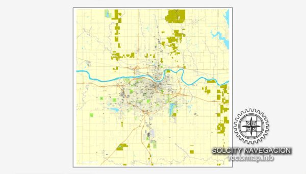
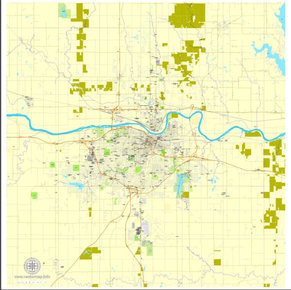
Topeka is the capital city of the U.S. state of Kansas. It is located in the northeastern part of Kansas, in Shawnee County. Topeka is known for its historical significance in the United States, particularly in the context of the Civil Rights Movement. The landmark case of Brown v. Board of Education of Topeka in 1954, which ended racial segregation in public schools, originated here.
Topeka is also home to various cultural and historical attractions, such as the Kansas State Capitol, the Kansas Museum of History, and the Combat Air Museum. It has a diverse economy with industries including government, education, healthcare, and manufacturing.


 Author: Kirill Shrayber, Ph.D. FRGS