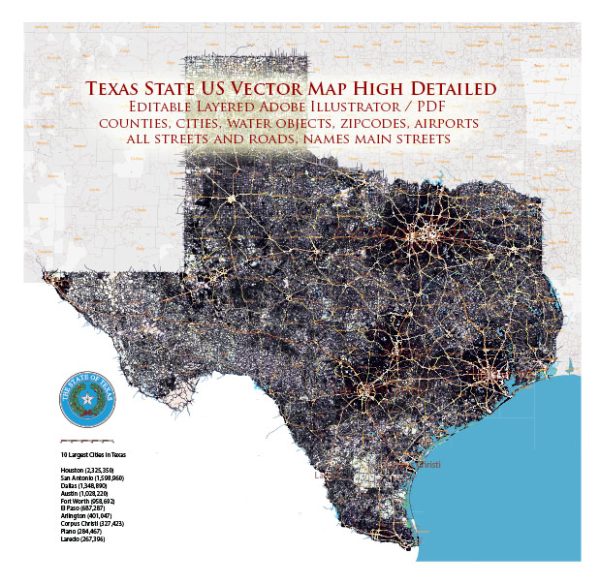
Texas is a state located in the southern United States. It is the second-largest state by both area and population in the United States, and it is known for its diverse geography, culture, and history. The capital city of Texas is Austin, while its largest city is Houston.
Texas has a rich history and played a significant role in the history of the United States, including its period as an independent republic before joining the Union in 1845. The state is known for its distinctive culture, including cowboy and ranching traditions, as well as a strong sense of pride and identity.
The state’s economy is diverse, with a significant presence in industries such as energy, technology, healthcare, and agriculture. Texas is a major oil and natural gas producer, and it is home to numerous Fortune 500 companies. The state also has a vibrant cultural scene, with a rich music history, including the famous Austin City Limits music festival, and a thriving culinary scene.
Texas is known for its iconic landmarks and attractions, including the Alamo in San Antonio, NASA’s Johnson Space Center in Houston, the vibrant music and arts scene in Austin, and the beautiful landscapes of Big Bend National Park and the Gulf Coast.


 Author: Kirill Shrayber, Ph.D.