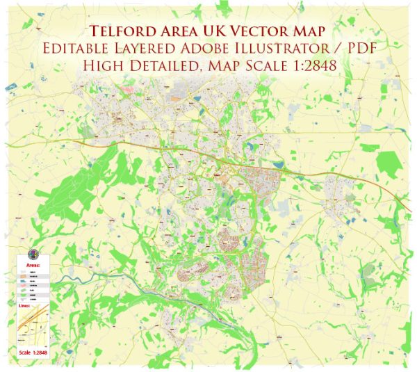
Telford is a town in the ceremonial county of Shropshire, England, United Kingdom. It is located in the West Midlands region of England and is part of the Telford and Wrekin unitary authority. Telford was established in the 1960s as a “new town” as part of a planned urban development to alleviate overcrowding in nearby towns like Birmingham and Wolverhampton.
Some key points about Telford:
- History: Telford was named after the famous civil engineer Thomas Telford, who played a significant role in the development of the road and canal systems in the area during the Industrial Revolution.
- Economy: Telford has a diverse economy with a mix of manufacturing, retail, and service industries. It is home to several business parks and industrial estates, making it an important economic hub in the region.
- Education: The town has a range of educational institutions, including schools and colleges. The University of Wolverhampton also has a campus in Telford.
- Tourism: Telford is known for its various attractions and green spaces. The Ironbridge Gorge, a UNESCO World Heritage site, is nearby and showcases the birthplace of the Industrial Revolution. There are museums, parks, and historic sites to explore in the area.
- Transport: Telford is well-connected by road and rail, making it accessible to other major cities in the region. The M54 motorway passes through the town, and Telford Central railway station provides train services to various destinations.
- Housing: Telford offers a range of housing options, including apartments, houses, and suburban developments. It has seen significant population growth and housing expansion since its establishment as a new town.
- Local Government: Telford and Wrekin is a unitary authority, which means that the local council is responsible for all local government services within the area, including education, housing, and transportation.
Telford has grown into a thriving and modern town with a mix of historical and contemporary elements. It continues to be an important part of the West Midlands region, both economically and culturally.


 Author: Kirill Shrayber, Ph.D. FRGS