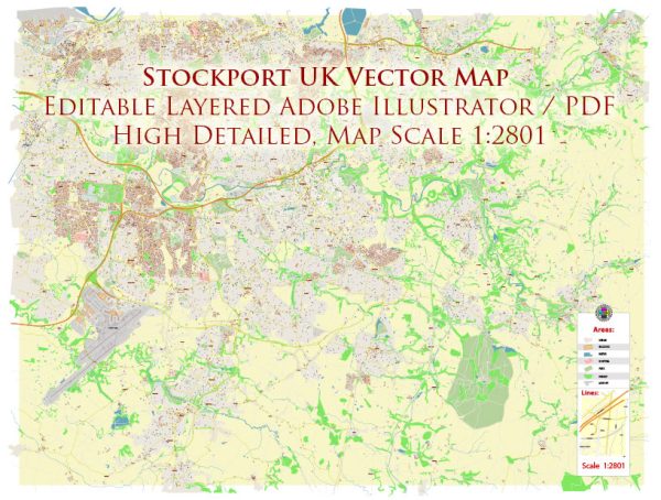
Stockport is a town in Greater Manchester, England, located in the North West region of the United Kingdom. It’s situated approximately 7 miles (11 kilometers) southeast of Manchester city center. Stockport is known for its industrial heritage, with a history in hat-making, silk weaving, and engineering.
Some notable features and places of interest in Stockport include:
- Stockport Viaduct: This iconic red-brick viaduct is one of the largest brick structures in Europe and a prominent landmark in Stockport.
- Hat Works Museum: Stockport was historically known for its hat-making industry, and the Hat Works Museum is dedicated to preserving this heritage.
- Bramall Hall: A historic Tudor manor house set in beautiful parkland, which provides a glimpse into Stockport’s history.
- Air Raid Shelters: Stockport has a network of underground air raid shelters that were used during World War II. You can take guided tours to explore these shelters.
- St. Mary’s Church: A beautiful medieval church located in the town center.
- Etherow Country Park: A park offering green spaces, woodlands, and a lake for outdoor activities and relaxation.
- The Plaza: A historic art deco theater that hosts various events and performances.
Stockport is well-connected by road and rail, making it accessible for commuters to Manchester and other nearby cities. The town has a mix of modern developments and historical sites, offering a blend of old-world charm and contemporary amenities.


 Author: Kirill Shrayber, Ph.D. FRGS