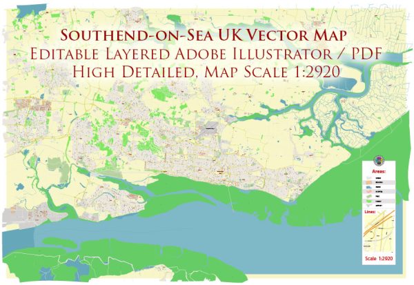
Southend-on-Sea is a coastal town and unitary authority area located in Essex, England, United Kingdom. It is situated on the north side of the Thames Estuary, to the east of London. Southend-on-Sea is known for its long and popular seafront, which features a range of attractions, including a pier, amusement parks, and a variety of entertainment options. Some key points of interest and information about Southend-on-Sea include:
- Southend Pier: Southend Pier is one of the town’s most iconic landmarks. It is the longest pleasure pier in the world, extending over a mile into the Thames Estuary. Visitors can enjoy walks along the pier, as well as access to cafes, restaurants, and a small railway.
- Beaches: The town boasts several sandy beaches, making it a popular destination for seaside activities and water sports during the summer months.
- Adventure Island: This amusement park is located on the seafront and offers a range of rides and attractions for visitors of all ages.
- Cultural Attractions: Southend has several cultural institutions, including the Beecroft Art Gallery, Cliffs Pavilion, and the Palace Theatre, which host a variety of artistic and musical performances.
- Shopping: Southend High Street is home to numerous shops, restaurants, and cafes, providing ample opportunities for shopping and dining.
- Southend Airport: Southend Airport, also known as London Southend Airport, offers flights to various destinations within the UK and Europe, making it a convenient travel option for residents and visitors.
- Local Events: The town hosts various events and festivals throughout the year, including the Southend Carnival, the Southend Festival, and the annual airshow, which attracts aviation enthusiasts.
- History: Southend-on-Sea has a rich history, with archaeological evidence indicating human settlement in the area dating back thousands of years. It developed as a popular seaside resort during the Victorian era.
Southend-on-Sea is a popular destination for day trips from London, as it is easily accessible by train and road. It offers a mix of traditional seaside charm and modern amenities, making it a diverse and appealing destination for visitors of all ages.


 Author: Kirill Shrayber, Ph.D. FRGS