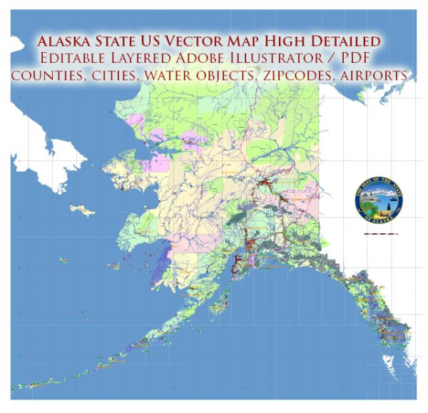
The name Alaska is derived from the Unangax (Aleut) word alaxsxa or alaxsxix, both meaning “mainland” or “great land.”
Indeed, Alaska has an immense area and a great variety of physical characteristics. Aside from its mainland peninsula,
the state includes about 15,000 square miles (38,800 square km) of fjords and inlets and about 34,000 miles (54,400 km)
of indented tidal coastline. In addition, most of the continental shelf of the United States lies along Alaska’s coast.
In the Alaska Range north of Anchorage is Denali (Mount McKinley), 20,310 feet (6,190 metres) high—the highest peak
in North America. Nearly one-third of the state lies within the Arctic Circle, and about four-fifths of Alaska is
underlain by permafrost (permanently frozen sediment and rock). Tundra—the vast treeless Arctic plains—makes up about half
of the state’s surface area. The southern coast and the panhandle at sea level are fully temperate regions.
In those and in the adjoining Canadian areas, however, lies the world’s largest expanse of glacial ice outside
Greenland and Antarctica. Rimming the state on the south is one of Earth’s most active earthquake belts, the
circum-Pacific seismic belt. Alaska has more than 130 active volcanoes, most of which are on the Aleutian Islands
and the adjacent Alaska Peninsula. The Alaska earthquake of 1964 was one of the most powerful earthquakes recorded in the United States.
Upon attaining statehood, Alaska increased the size of the United States by nearly one-fifth. The new area included
vast stretches of unexplored land and untapped resources. Its settlement and exploitation have been hindered by its
distance from the rest of the country and by geographic and climatic impediments to travel and communications; Alaska
continues to be the country’s last frontier. About half of the state’s inhabitants live in the Greater Anchorage–Kenai Peninsula area.
The difficulty of finding a balance between conservation and development in an enormous land has been ongoing since the beginning
of the 20th century. Alaska’s residents and the state and federal governments have had to make delicate decisions on
such major issues as a natural gas pipeline project, Alaska Natives’ land claims, the creation of national parks and
wildlife refuges, noncommercial whaling by Indigenous peoples, and related matters. One of the major conflicts occurred
in the late 1960s and early 1970s between conservationists and petroleum companies over the proposed Trans-Alaska Pipeline,
which now runs from the oil-rich North Slope on the Arctic Ocean to Valdez, in the south. The debate intensified following
a catastrophic oil spill in 1989, when the tanker Exxon Valdez released some 250,000 barrels of oil into Prince William Sound.
Moreover, beginning in the 1980s, the two sides came into conflict over whether to permit drilling in the Arctic National
Wildlife Refuge. In the early 21st century the question of drilling in the 23-million-acre (9.3-million-hectare) National
Petroleum Reserve–Alaska on the Arctic coastal plain and on the continental shelves of the Beaufort and Chukchi seas also
became controversial issues. Area 665,384 square miles (1,723,337 square km). Population (2020) 733,391.
Source: https://www.britannica.com/place/Alaska


 Author: Kirill Shrayber, Ph.D.