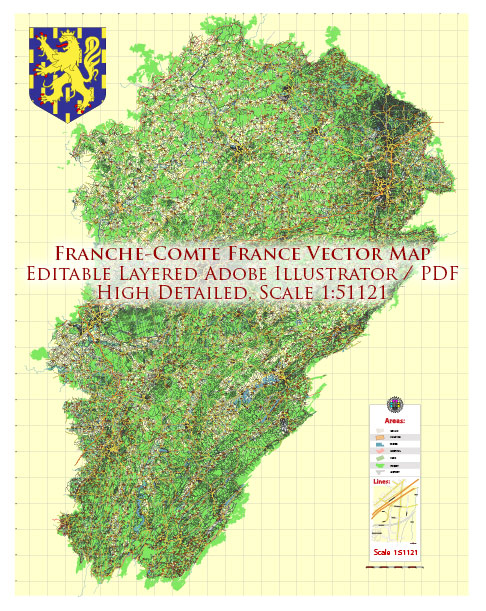
The Franche-Comté region is located in eastern France and has a well-developed transportation system that includes various modes of transportation. Here’s an overview of the transportation options in the region:
- Road Transportation: Franche-Comté is well-connected by an extensive network of roads and highways. The major highways in the region include the A36, A39, and A6, which provide convenient access to cities like Besançon, Dijon, Lyon, and Paris.
- Rail Transportation: The region is served by the French national railway company, SNCF. The TGV (high-speed train) connects major cities like Besançon, Belfort, and Dijon to other French cities and even international destinations. There are also regional TER (Transport Express Régional) trains that connect smaller towns and cities within Franche-Comté.
- Public Transportation: Most major cities in Franche-Comté have their own local public transportation systems, including buses and trams. In Besançon, for example, there is an efficient tram and bus network that makes it easy to get around the city. In smaller towns, buses are the primary mode of public transportation.
- Air Transportation: Franche-Comté is served by several airports, with the most prominent being Dole-Jura Airport (Aéroport de Dole-Jura). This airport provides domestic and international flights, making it a convenient gateway to the region. Other airports, like EuroAirport Basel-Mulhouse-Freiburg, are within driving distance of certain parts of Franche-Comté.
- Cycling: Franche-Comté is known for its beautiful landscapes and is a great place for cycling enthusiasts. There are numerous cycling routes and bike paths throughout the region, making it a popular destination for cycling tourism.
- River Transportation: The region is crossed by several rivers, including the Doubs, which offers opportunities for river transportation and tourism. Some cities have boat tours and excursions on these rivers.
- Walking and Hiking: Franche-Comté is also known for its hiking trails and walking paths, particularly in the Jura Mountains. These routes are a great way to explore the natural beauty of the region.
Overall, Franche-Comté has a comprehensive transportation system that makes it relatively easy to travel within the region and connect with other parts of France and neighboring countries. Whether you prefer road, rail, air, or even outdoor activities like cycling and hiking, there are options available to suit your transportation needs.


 Author: Kirill Shrayber, Ph.D.