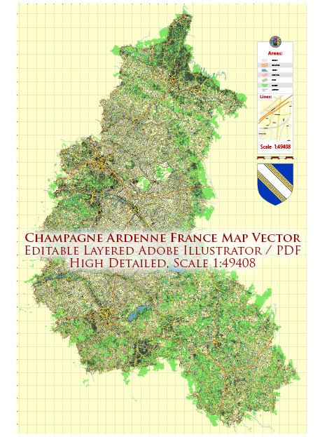
Champagne-Ardenne was a region in northeastern France, but as of 2016, it was merged with the neighboring regions of Alsace and Lorraine to form the new region of Grand Est. However, I can provide you with a list of some of the major cities and towns that were part of the Champagne-Ardenne region prior to the merger:
- Reims – The largest city in the region and famous for its historic cathedral, where French kings were traditionally crowned.
- Troyes – A historic town known for its well-preserved medieval architecture.
- Châlons-en-Champagne – Another significant city in the region with a rich history.
- Charleville-Mézières – A city known for its cultural events and the birthplace of the poet Arthur Rimbaud.
- Épernay – Renowned for its champagne production and home to many famous champagne houses.
- Saint-Dizier – A town with a mix of industrial and historical aspects.
- Sedan – Famous for its massive Château de Sedan, one of the largest fortified castles in Europe.
- Vitry-le-François – A town situated on the Marne River.
- Laon – Although it’s now part of the Hauts-de-France region, Laon was historically associated with Champagne-Ardenne.
Please note that the administrative boundaries and regions in France may change over time, and the information provided here is accurate as of my last knowledge update in September 2021. You may want to check with current sources for any updates or changes to the regions and administrative divisions in France.


 Author: Kirill Shrayber, Ph.D.