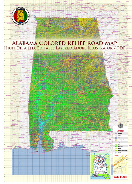
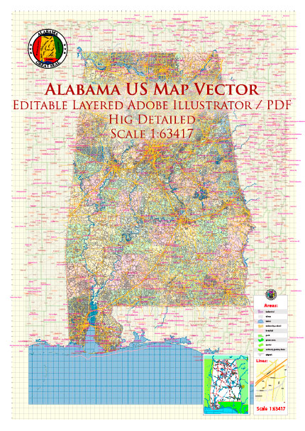
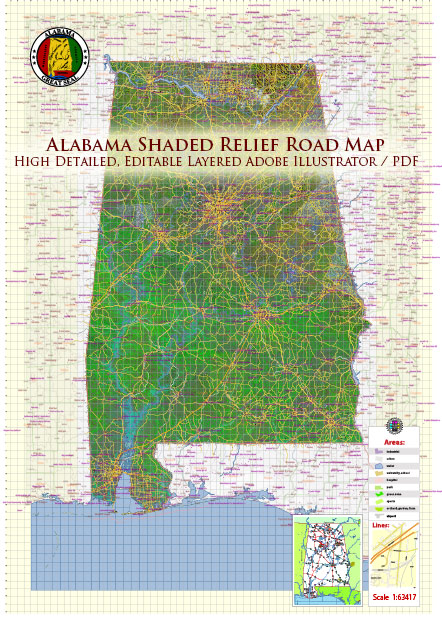
Alabama is comprised of coastal plains at the Gulf of Mexico turning to hills and broken
terrain in the north. Five major land areas make up the Alabama landscape with more than
two thirds of the state covered by the East Gulf Coastal Plain.
East Gulf Coastal Plain:
The East Gulf Coastal Plain covers the southern two thirds of the state, except
for the Black Belt Prairie. But more on that later. On the western side of the state
the East Gulf Coastal Plain runs north almost to the Tennessee border.
The East Gulf Coastal Plain itself is composed of varying landscapes. In the southwest
around Mobile, the land is low and swampy. The southeast plain is called the wiregrass
section because of the tough grass that once grew there among the pine forests. These days,
the southeastern section has become an important farming area in the state. To the north,
the terrain becomes hilly and is covered by many pine forests. This area is often called
the Central Pine Belt.
The Black Belt Prairie cuts a path between the southern and northern East Coastal Plain.
The Black Belt Prairie was the home of many of Alabama’s large plantations. The soil in this
swath of rolling hills is black and sticky and supported acres and acres of cotton crop until
the boll weevils visit in 1915.
The Piedmont Upland:
The Piedmont is located in the eastern central section of Alabama and consists of low hills,
ridges, and sandy valleys. Coal, iron ore, limestone, and marble are found in this area of Alabama
along with Cheaha Mountain, Alabama’s highest point.
The Appalachian Ridge and Valley:
Northwest of the Piedmont lies the Appalachian Ridge and Valley region of Alabama.
This region is comprised of sandstone ridges and fertile limestone valleys.
The three ingredients for steel manufacture, coal, iron ore, and limestone
are found in abundance in this area.
Cumberland Plateau:
Sometimes called the Appalachian Plateau, the Cumberland Plateau lies to the northwest of the
Appalachian Ridge and Valley region. The rolling terrain and flat areas rises to1,800 feet
above sea level in the northeast and slopes southwest down to about 500 feet above sea
level to meet the East Gulf Coastal Plain.
Highland Rim:
In the northwestern corner of Alabama is the Highland Rim or Low Interior Plateau.
A lot of this land is in the Tennessee River valley and farms grow corn, cotton,
and hay in this area.
Source: https://www.netstate.com/states/geography/al_geography.htm


 Author: Kirill Shrayber, Ph.D. FRGS