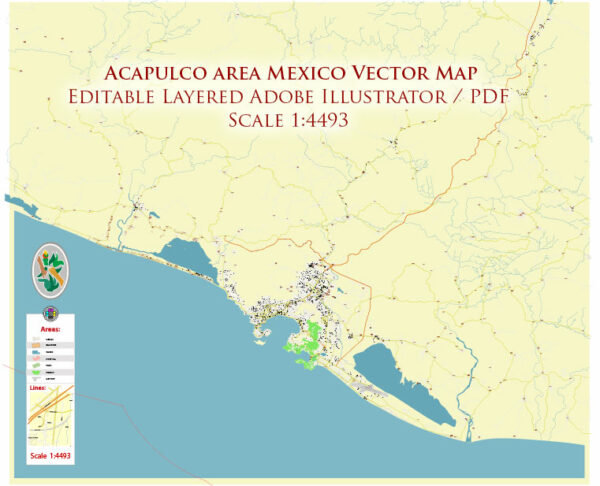
The geology of the Acapulco area in Mexico is influenced by its location within the broader tectonic framework of the North American Plate and the Pacific Plate. Acapulco is situated on the southwestern coast of Mexico and is part of the broader geological context of the Mexican Pacific Margin.
Key geological features and processes in the Acapulco area include:
- Subduction Zone: The primary geological feature of the region is the subduction of the Cocos Plate beneath the North American Plate. The Cocos Plate is an oceanic plate, while the North American Plate is a continental plate. This subduction zone gives rise to a variety of geological phenomena, including seismic activity, volcanism, and mountain building.
- Seismic Activity: Acapulco is in a seismically active region, and the subduction of the Cocos Plate beneath the North American Plate is responsible for the occurrence of frequent earthquakes. These earthquakes can sometimes be destructive and are a result of the intense tectonic forces at play in the subduction zone.
- Volcanic Activity: While Acapulco itself is not known for active volcanoes, the broader region of southern Mexico features several volcanic peaks. Popocatépetl and Iztaccíhuatl, for example, are active stratovolcanoes located to the north of Acapulco. These volcanoes are part of the Trans-Mexican Volcanic Belt, which extends across central Mexico and is associated with the subduction of the Cocos Plate.
- Geologic History: The geologic history of the region involves the complex interactions between the Cocos Plate, the North American Plate, and other geological terranes. Over millions of years, these interactions have led to the formation of mountain ranges and sedimentary basins, contributing to the diversity of landscapes and rock types found in the area.
- Rock Types: The rocks in the Acapulco area can vary widely, depending on their specific location within the broader geological context. The region may contain sedimentary rocks, volcanic rocks, and metamorphic rocks. The presence of volcanic rocks is more prominent in areas closer to active volcanic centers.
- Coastal Features: The Acapulco area is characterized by its stunning coastal features, including beaches and rugged cliffs. The interaction of tectonic forces and erosion over time has contributed to the formation of these coastal landscapes.
- Geological Hazards: Due to its location in a seismically active zone, the Acapulco area is susceptible to earthquakes and associated hazards, such as tsunamis. Understanding the local geology is crucial for assessing and mitigating geological hazards in the region.
It’s important to note that the geological characteristics of a specific location within the Acapulco area may vary, and detailed geological studies are necessary for a more comprehensive understanding of the local geology, including any specific mineral deposits, aquifers, or geological hazards in the region.


 Author: Kirill Shrayber, Ph.D. FRGS