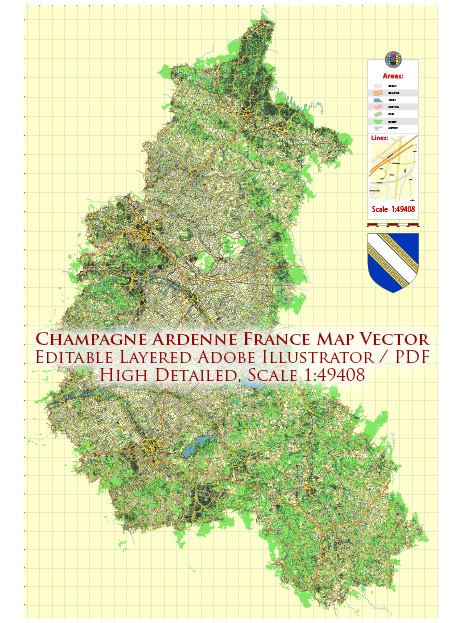
The Champagne-Ardenne region, which has now been merged into Hauts-de-France, had an extensive road system to facilitate transportation and connect its various towns and cities. Some of the key highways and roads in the former Champagne-Ardenne region included:
- A4 (Autoroute A4): This major east-west highway connects Paris to Strasbourg and passes through Reims, the capital of the Champagne-Ardenne region. It was an essential route for travelers going to or from the region.
- A26 (Autoroute A26): The A26 is a north-south highway that passes through the Champagne-Ardenne region, connecting Calais in the north to Troyes in the south.
- A34 (Autoroute A34): The A34 links Sedan in Champagne-Ardenne to Reims, intersecting with the A4. It was an important road for regional travel.
- N Roads (Routes Nationales): In addition to autoroutes (expressways), the region had a network of national roads that connected various towns and cities. These roads included N31, N44, N51, N52, and others.
- Local Roads: The region had an extensive network of local roads that connected smaller towns and rural areas to the major highways and cities.
Keep in mind that road systems and their names can change over time due to maintenance, upgrades, or renumbering. If you plan to travel in the region or need specific information about road conditions and routes, it’s advisable to consult a reliable map or a GPS navigation system for the most up-to-date information. Additionally, since the administrative regions in France have been reorganized, you may want to check the current road system in the Hauts-de-France region for the latest information.


 Author: Kirill Shrayber, Ph.D. FRGS