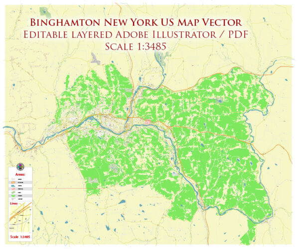
Binghamton, New York, like many other cities in the United States, relies on a variety of water resources to provide clean and safe drinking water to its residents. Here are some key points about water resources in Binghamton, New York:
- Susquehanna River: Binghamton is located along the banks of the Susquehanna River, which is a significant water resource for the city. The city draws water from the river for treatment and distribution to residents. The Susquehanna River serves as a primary source of surface water for Binghamton.
- Water Treatment: The city has water treatment facilities that treat the water from the Susquehanna River to meet federal and state drinking water standards. This treatment process involves filtering and disinfecting the water to remove contaminants and ensure its safety for consumption.
- Groundwater: In addition to surface water from the Susquehanna River, some areas in Binghamton may also use groundwater as a source of drinking water. Groundwater wells may be employed in certain parts of the city to supplement the surface water supply.
- Reservoirs: Binghamton may also have reservoirs or storage facilities to store treated water. These reservoirs help ensure a consistent supply of water to meet the demands of the city’s residents.
- Distribution System: Once the water is treated, it is distributed through a network of pipes and infrastructure to homes, businesses, and institutions in Binghamton.
- Water Quality: Ensuring the quality of the water supply is a top priority for the city. Regular testing and monitoring are conducted to detect and address any potential contaminants or issues in the water.
- Environmental Considerations: The city likely takes into account environmental considerations and regulations when managing its water resources. Protection of water sources, conservation efforts, and compliance with environmental laws are essential components of water resource management.
It’s important to note that the specific details of Binghamton’s water resources and infrastructure may change over time due to improvements, changes in regulations, and other factors. For the most up-to-date and detailed information on Binghamton’s water resources and water management practices, you should contact the local water utility or relevant government agencies.


 Author: Kirill Shrayber, Ph.D. FRGS