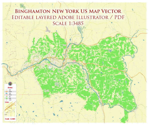
Binghamton, New York, has a road system that includes various local streets, state highways, and interstate highways. Here are some of the key roads and highways in and around Binghamton:
- Interstate 81 (I-81): I-81 is a major north-south interstate highway that passes through Binghamton. It provides a crucial transportation link in the region, connecting the city to major cities like Syracuse to the north and Scranton, Pennsylvania, to the south.
- New York State Route 17 (NY-17): This highway is also known as the Southern Tier Expressway and serves as a major east-west route. It connects Binghamton to cities like Elmira and points east to New York City.
- New York State Route 17C (NY-17C): NY-17C runs through Binghamton and serves as a local route connecting different parts of the city.
- New York State Route 7 (NY-7): NY-7 is another state highway that passes through the Binghamton area and connects the city to nearby communities and regions.
- U.S. Route 11 (US-11): US-11 is a north-south U.S. highway that passes through Binghamton, providing additional access and connectivity within the region.
- Local Roads: Binghamton has an extensive network of local roads and streets that serve the city and its neighborhoods. These include avenues, boulevards, and city streets, such as Court Street, Main Street, and others.
The road system in Binghamton is designed to facilitate local and regional travel, making it accessible for residents, commuters, and visitors. The city’s location at the confluence of major highways like I-81 and NY-17 makes it a key transportation hub in the Southern Tier region of New York. Please note that road conditions and traffic patterns can change, so it’s a good idea to check for real-time traffic updates and directions using navigation apps or local traffic authorities when planning your route.


 Author: Kirill Shrayber, Ph.D. FRGS