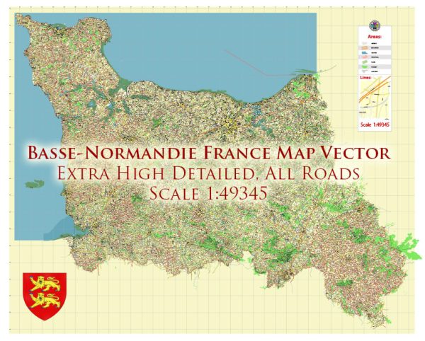
As of my last knowledge update in September 2021, the region of Basse-Normandie in France no longer officially exists. In 2016, Basse-Normandie and Haute-Normandie were merged to form the region of Normandy. Therefore, any information regarding the road system in Basse-Normandie is now part of the road system in Normandy.
The road system in Normandy, like in other regions of France, consists of a network of well-maintained roads and highways. Some of the key elements of the road system in Normandy include:
- Autoroutes (Highways): These are the major expressways and highways that connect different parts of the region and provide quick access to other regions of France. Autoroutes are often denoted by the letter “A” followed by a number. For example, the A13 connects Caen to Paris.
- National Roads (Routes Nationales): National roads connect major cities and regions and are denoted by the prefix “N.” For example, the N13 is a major road connecting Cherbourg to Caen.
- Departmental Roads (Routes Départementales): These are local roads that connect towns and communities within the region. They are maintained by the local departments (administrative divisions).
- Local Roads: Smaller roads and streets within cities and towns.
- Scenic Routes: Normandy is known for its beautiful landscapes, and there are several scenic routes that provide picturesque views of the region.
- Road Signs and Markings: French road signs use internationally recognized symbols and are often in French. Traffic is expected to keep to the right, and speed limits are indicated in kilometers per hour.
- Tolls: Some autoroutes in Normandy have tolls. Drivers may need to pay tolls at certain points along these highways.
Please note that road systems and infrastructure can change over time, so it’s a good idea to check with up-to-date sources, such as GPS navigation systems or official regional transportation websites, for the most current information on road networks, conditions, and regulations in Normandy or any other region in France.


 Author: Kirill Shrayber, Ph.D. FRGS