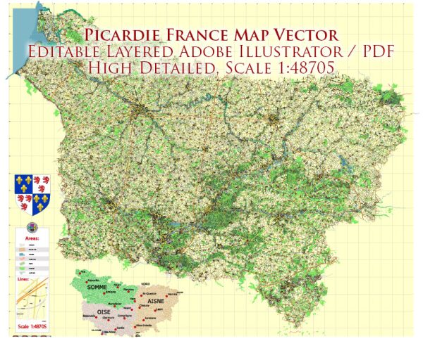
Picardie was a region located in the northern part of France. It was one of the 27 administrative regions of France before the country’s administrative reorganization in 2016. The region’s administrative capital was Amiens.
Picardie was known for its rich history, picturesque landscapes, and charming towns and villages. It was a region with a strong agricultural tradition, and it was famous for its beautiful countryside, which included rolling hills, forests, and farmland. The region was also home to historical sites and monuments, such as the Gothic cathedral in Amiens, which is a UNESCO World Heritage Site.
In 2016, as part of a national administrative reorganization, Picardie was merged with the regions of Nord-Pas-de-Calais to create a new administrative region called Hauts-de-France. This change was part of an effort to streamline administrative divisions in France and improve regional governance. Picardie, however, remains an important historical and cultural region, and its traditions and heritage continue to be celebrated.


 Author: Kirill Shrayber, Ph.D. FRGS