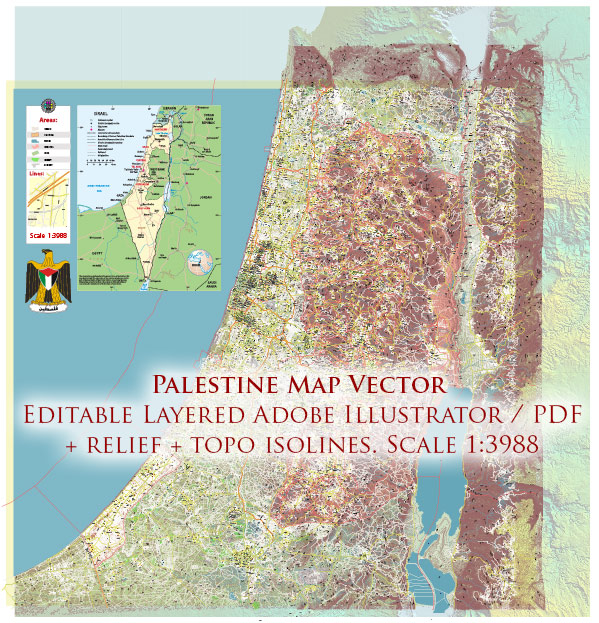
Palestine is a region located in the Eastern Mediterranean, and its geography is an essential aspect of its history and political significance. It encompasses a relatively small area, primarily consisting of the West Bank, Gaza Strip, and East Jerusalem. However, the geographical boundaries and political status of Palestine have been the subject of ongoing conflict and negotiations.
Here are some key geographical features and information about Palestine:
- West Bank:
- The West Bank is a landlocked territory situated to the east of Israel. It is bordered by Israel to the west, Jordan to the east, and to a lesser extent, by the Dead Sea to the southeast.
- The West Bank is characterized by a diverse landscape, including hills, mountains, valleys, and desert areas. The Jordan River runs along its eastern border.
- Gaza Strip:
- The Gaza Strip is a narrow coastal strip of land along the Mediterranean Sea. It is located to the southwest of Israel.
- The Gaza Strip is one of the most densely populated areas in the world and is known for its flat terrain and sandy beaches.
- East Jerusalem:
- East Jerusalem is a part of Jerusalem that Israel captured from Jordan during the Six-Day War in 1967. It is a city with significant religious and historical importance to Judaism, Islam, and Christianity.
- Dead Sea:
- The Dead Sea, a saltwater lake, lies in the Jordan Rift Valley and is bordered by Israel and Jordan. It is known for its extreme salinity, which prevents the existence of marine life, hence the name “Dead Sea.”
- Negev Desert:
- While not within the political boundaries of Palestine, the Negev Desert, in southern Israel, is geographically close to the region and shares some characteristics with the desert areas in southern Palestine.
The geography of Palestine is integral to the Israeli-Palestinian conflict, as disputes over borders, land ownership, and the status of Jerusalem have been central to the ongoing tension and peace negotiations in the region. Additionally, the diverse landscape of Palestine has influenced the distribution of Palestinian communities, agriculture, and economic activities.


 Author: Kirill Shrayber, Ph.D. FRGS