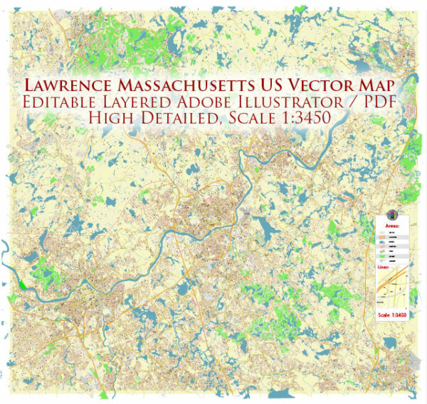
Lawrence is a city located in Essex County, Massachusetts, United States. It is approximately 25 miles (40 kilometers) north of Boston and is part of the Greater Boston metropolitan area. Lawrence has a rich history, particularly as a center for textile manufacturing during the 19th and early 20th centuries.
Here are some key points about Lawrence, Massachusetts:
- History: Lawrence was founded in 1845 and named after Amos Lawrence, a prominent textile industrialist. The city played a significant role in the Industrial Revolution in the United States, with its mills and factories producing textiles and clothing.
- Immigrant Heritage: Lawrence has a diverse population with a strong immigrant history. It has been home to various immigrant communities, including Irish, French-Canadians, and, more recently, a significant Hispanic population.
- Economy: While the textile industry has declined in Lawrence, the city’s economy has diversified into various industries, including healthcare, education, and retail.
- Education: Lawrence is home to several educational institutions, including public schools, private schools, and higher education institutions like Lawrence Public Schools and Northern Essex Community College.
- Merrimack River: The city is situated along the Merrimack River, providing opportunities for outdoor activities and scenic views.
- Transportation: Lawrence has good transportation connections, with access to major highways, public transportation options, and proximity to Boston’s Logan International Airport.
- Cultural and Recreational Activities: The city offers a range of cultural and recreational activities, including parks, museums, and cultural events.


 Author: Kirill Shrayber, Ph.D. FRGS