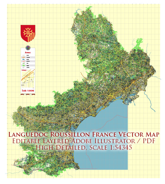
Languedoc-Roussillon was a former administrative region in southern France. However, as of January 1, 2016, it was merged with the region of Midi-Pyrénées to form a new administrative region known as Occitanie. Languedoc-Roussillon was known for its beautiful Mediterranean coastline, historic cities, and diverse landscapes.
Here are some key aspects of Languedoc-Roussillon:
- Geography: Languedoc-Roussillon was located in the southern part of France, along the Mediterranean coast. It was known for its diverse geography, including coastal plains, vineyards, mountain ranges like the Pyrenees, and the famous Camargue region.
- Culture: The region had a rich cultural heritage, influenced by both French and Catalan traditions. It was known for its wine production, with areas like the Languedoc being famous for their vineyards. The region also had a strong connection to the Occitan language and culture.
- Cities: Languedoc-Roussillon was home to several historic and vibrant cities, including Montpellier, the regional capital, as well as Nîmes, Perpignan, Carcassonne, and others. These cities featured a mix of historical architecture, cultural events, and a Mediterranean lifestyle.
- Tourism: The region attracted tourists with its Mediterranean beaches, historical sites like the Pont du Gard and Carcassonne, and its beautiful countryside. The Camargue, a unique wetland area known for its wildlife and horse breeding, was also a popular destination.
- Food and Wine: Languedoc-Roussillon was known for its cuisine, which featured Mediterranean flavors. It was a significant wine-producing region, with various appellations and vineyards, offering a wide range of wines.
It’s important to note that since the administrative reorganization, the region of Occitanie now encompasses the former Languedoc-Roussillon area. So, if you plan to visit this area, you should refer to Occitanie as the administrative region while exploring its cultural and geographical diversity.


 Author: Kirill Shrayber, Ph.D. FRGS