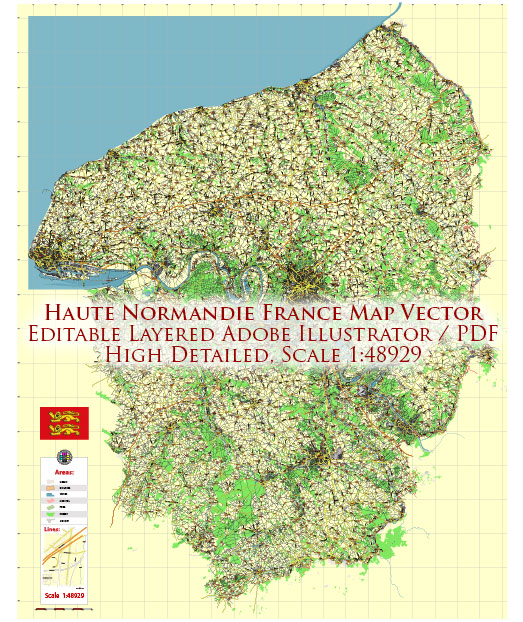
Haute-Normandie, also known as Upper Normandy, was a region in northern France. However, in 2016, it was merged with the region of Basse-Normandie to form a new administrative region called Normandy. The regional capital of Haute-Normandie was Rouen.
Normandy, in general, is known for its rich history, picturesque landscapes, and cultural heritage. It is famous for its beautiful coastline, historic towns and cities, including Rouen and Le Havre, and its role in the events of World War II, particularly the D-Day landings.
Some of the notable attractions in the former Haute-Normandie region included:
- Mont Saint-Michel: Although not within the Haute-Normandie region, Mont Saint-Michel is a famous UNESCO World Heritage Site located nearby in the Normandy region. It is a stunning island commune topped by a medieval abbey.
- Rouen: The historic capital of Haute-Normandie is known for its beautiful cathedrals, medieval architecture, and its connection to Joan of Arc.
- Le Havre: This port city is famous for its modernist architecture and is also a UNESCO World Heritage Site.
- Etretat: A picturesque coastal town known for its stunning cliffs and natural beauty.
- Giverny: The former home of the famous Impressionist painter Claude Monet, known for its beautiful gardens.
- Honfleur: A charming coastal town with a picturesque harbor and historic buildings.
Since the administrative reorganization in 2016, these and other attractions are now part of the larger Normandy region, which has continued to be a popular destination for tourists and history enthusiasts.


 Author: Kirill Shrayber, Ph.D. FRGS