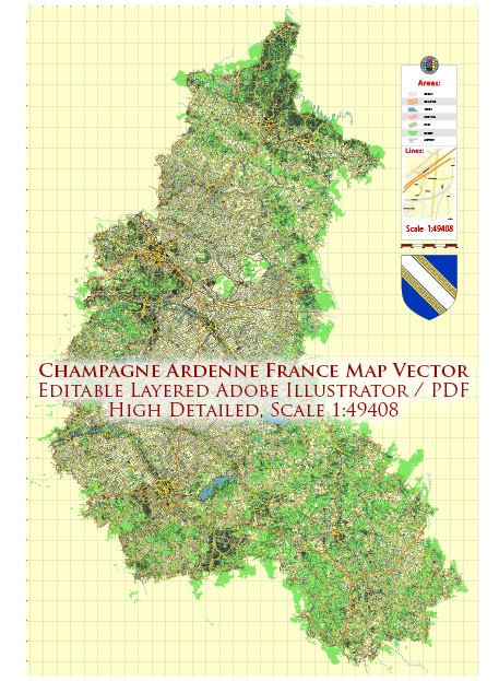
Champagne-Ardenne was a former administrative region in northeastern France, but as of my last knowledge update in September 2021, it no longer exists as a separate region. France underwent a regional reorganization in 2016, reducing the number of regions from 22 to 13. Champagne-Ardenne was merged with Picardy (Picardie) and Nord-Pas-de-Calais to create a new administrative region called “Hauts-de-France.”
Champagne-Ardenne was known for its contributions to the world of champagne, with the city of Reims being one of the key centers of champagne production. Additionally, the region had a rich history, including landmarks like the Reims Cathedral, which played a significant role in French royal coronations.
Please note that regional administrative boundaries can change, and there may have been further developments or changes since my last update in 2021. If you’re looking for the most current information about this region or its successor regions, I recommend checking a current and reliable source or the official French government website.


 Author: Kirill Shrayber, Ph.D. FRGS