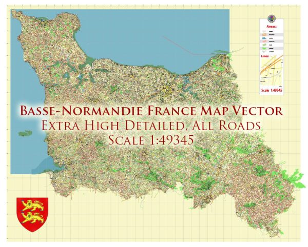
The Basse-Normandie region in France was merged with the neighboring Haute-Normandie region to form the new administrative region of Normandy in 2016. However, I can still provide information on the road system that was in place in the Basse-Normandie region prior to this merger.
Basse-Normandie had a well-developed road network that allowed for easy transportation throughout the region. The road system consisted of various types of roads, including:
- Autoroutes (Highways): Basse-Normandie was served by several major autoroutes that connected the region to other parts of France. The key autoroutes included:
- A13: This autoroute connected Caen to Paris, making it an important route for travelers between the region and the French capital.
- A84: The A84 autoroute linked Caen to Rennes and the rest of Brittany, as well as to Le Mont-Saint-Michel.
- National Roads (Routes Nationales): The national road network included various routes connecting cities and towns within the region and linking Basse-Normandie to the national road system. Some of the important national roads in the region were:
- N13: This road ran parallel to the A13 autoroute and connected Caen to Cherbourg, serving as a key route for travelers in the region.
- N175: Connecting Avranches to Pontaubault, this road provided access to the popular tourist destination of Le Mont-Saint-Michel.
- Departmental Roads (Routes Départementales): The departmental roads were maintained by the local authorities and served to connect smaller towns and villages within the region.
- Local Roads: In addition to the main road network, there were numerous local roads and streets that crisscrossed the region, providing access to even more remote areas.
The road system in Basse-Normandie was generally well-maintained and facilitated travel and transportation throughout the region. Since Basse-Normandie is now part of the larger Normandy region, the road infrastructure continues to serve the needs of the local population and visitors in the new administrative structure. However, it’s essential to consult updated maps and navigation systems for current road information and conditions, as changes and improvements to the road network may have occurred since my last knowledge update in September 2021.


 Author: Kirill Shrayber, Ph.D. FRGS