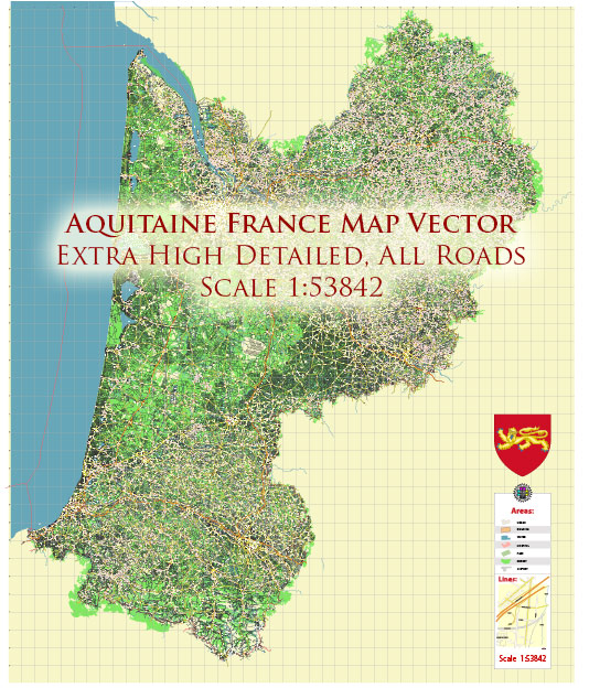
Aquitaine, a region in southwestern France, is known for its diverse water resources, which play a significant role in its economy and natural environment. The region encompasses several rivers, lakes, and aquifers, providing water for various purposes, including agriculture, industry, and domestic use. Here are some key aspects of Aquitaine’s water resources:
- Rivers: Aquitaine is crossed by several major rivers, including the Garonne, Dordogne, and Adour. These rivers are vital for transportation, agriculture, and the generation of hydroelectric power. The Garonne River, in particular, is one of the major rivers in France and serves as a source of freshwater for the region.
- Lakes: Aquitaine is home to numerous lakes, both natural and artificial. Some of the prominent ones include Lake Biscarrosse, Lake Cazaux, and Lake Hourtin. These lakes support tourism, fishing, and provide recreational opportunities.
- Groundwater: Aquitaine boasts a vast network of aquifers, which store groundwater. The Aquitaine Basin, a significant sedimentary basin, contains extensive groundwater resources that are crucial for irrigation and public water supply.
- Coastal Resources: The Atlantic Ocean defines the western boundary of Aquitaine, and its coastline features various ecosystems, including estuaries and coastal wetlands. The region’s coast is renowned for its surfing spots, and fishing and aquaculture are also important economic activities along the coast.
- Irrigation: Agriculture is a major sector in Aquitaine, and the region relies on its water resources for irrigation. Farmers use water from rivers and groundwater to support the cultivation of crops such as maize, grapes for wine production, and vegetables.
- Hydroelectric Power: The region’s rivers, especially the Garonne, are used for the generation of hydroelectric power. Several hydroelectric power plants are located along these rivers, contributing to Aquitaine’s energy production.
- Water Quality: Maintaining water quality is essential for the region’s ecosystems and human consumption. Aquitaine is committed to preserving the quality of its water resources through water treatment facilities, environmental protection measures, and regulations.
- Environmental Concerns: Aquitaine is also home to various protected areas, including national parks and nature reserves, where the conservation of natural water resources is a priority. These areas help preserve the region’s biodiversity and protect its water ecosystems.
- Flood Management: Given the presence of significant rivers, flood management is a crucial concern. Aquitaine has implemented flood control measures, including levees and floodplains management, to mitigate the impact of floods on communities and agriculture.
In recent years, Aquitaine, like many other regions globally, has been facing challenges related to climate change, including variations in rainfall patterns and increasing temperatures, which can affect water resources and their management. Sustainable water management practices and conservation efforts are crucial for ensuring the long-term health and availability of water resources in Aquitaine.


 Author: Kirill Shrayber, Ph.D. FRGS