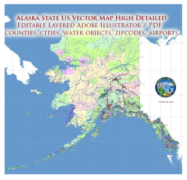
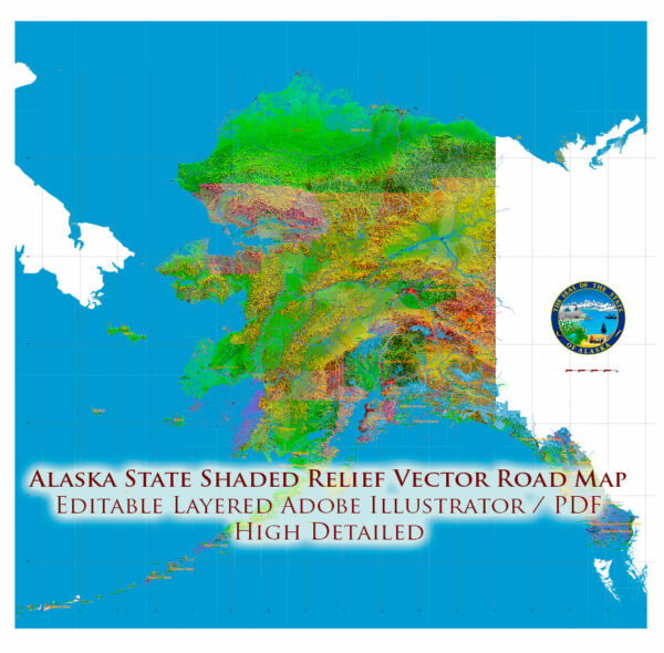
Alaska
state, United States
Alaska, constituent state of the United States of America. It was admitted to the union as the 49th state on January 3, 1959.
Alaska lies at the extreme northwest of the North American continent, and the Alaska Peninsula is the largest peninsula in the
Western Hemisphere. Because the 180th meridian passes through the state’s Aleutian Islands, Alaska’s westernmost portion is in the
Eastern Hemisphere. Thus, technically, Alaska is in both hemispheres.
Alaska is bounded by the Beaufort Sea and the Arctic Ocean to the north, Canada’s Yukon territory and British Columbia
province to the east, the Gulf of Alaska and the Pacific Ocean to the south, the Bering Strait and the Bering Sea to the west,
and the Chukchi Sea to the northwest. The capital is Juneau, which lies in the southeast, in the panhandle region.
Alaska is central to the great circle route connecting North America with Asia by sea and air and is equidistant from most of Asia
and Europe. That central location has made Alaska militarily significant since the Japanese invasion of the Aleutians in 1942 during
World War II. Alaska’s eastern border with Canada is about 1,538 miles (2,475 km) long, more than one-third the length of the entire U.S.
boundary with Canada (3,987 miles [6,416 km]). Alaska’s western maritime boundary, separating the waters of the United States and Russia,
was established in the Treaty of Cession of 1867 (which declared the transfer of Alaska from Russia to the United States).
The roughly 1,000-mile (1,600-km) de facto boundary runs through the Chukchi Sea and the Bering Strait to a point
between Alaska’s St. Lawrence Island and Russia’s Chukotskiy (Chukchi) Peninsula and to the southwest, between Attu Island,
the westernmost island of the Alaskan Aleutian chain, and the Russian Komandor Islands. The boundary leaves a patch of
international waters, known as the “Doughnut Hole,” in the Bering Sea. Off the extreme western end of the state’s
Seward Peninsula, Little Diomede Island, part of Alaska, lies in the Bering Strait only 2.5 miles (4 km)
from Russian-owned Big Diomede Island. Both Russia and the United States have shown a tacit tolerance of unintentional
airspace violations, which are common in bad weather.
Source: https://www.britannica.com/place/Alaska


 Author: Kirill Shrayber, Ph.D. FRGS