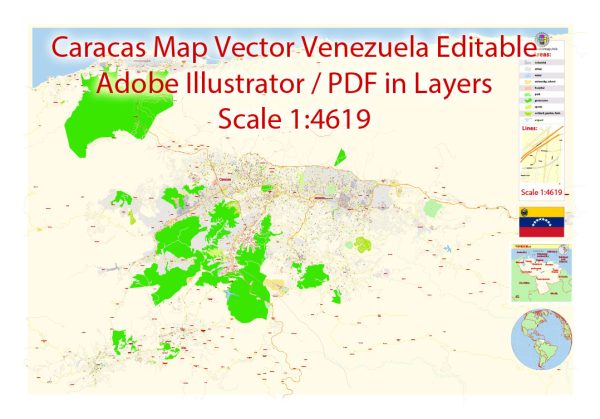
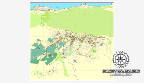
Vector Maps of the Venezuela : country on the northern coast of South America with diverse natural attractions. Along its Caribbean coast are tropical resort islands including Isla de Margarita and the Los Roques archipelago. To the northwest are the Andes Mountains and the colonial town of Mérida, a base for visiting Sierra Nevada National Park. Caracas, the capital, is to the north.
Capital: Caracas
Area:
• Total: 916,445 km2 (353,841 sq mi)
• Water: (%) 3.2
Download royalty free, editable vector maps of Venezuela in high resolution digital PDF and Adobe Illustrator format.
For printing LARGE (WALL) or SMALL (A4) format (please, see the preview and descriptions). DWG, DXF, CDR, ESRI Shapes and other formats.
Map Data Specification
-
Data type: Vector cartographic dataset
-
Geometry: Polylines and polygons
-
Coordinate system: WGS84 geographic coordinate system
-
Editing compatibility: Adobe Illustrator and vector graphic editors
-
Data structure: Layered map file suitable for design and print workflows


 Author: Kirill Shrayber, Ph.D. FRGS