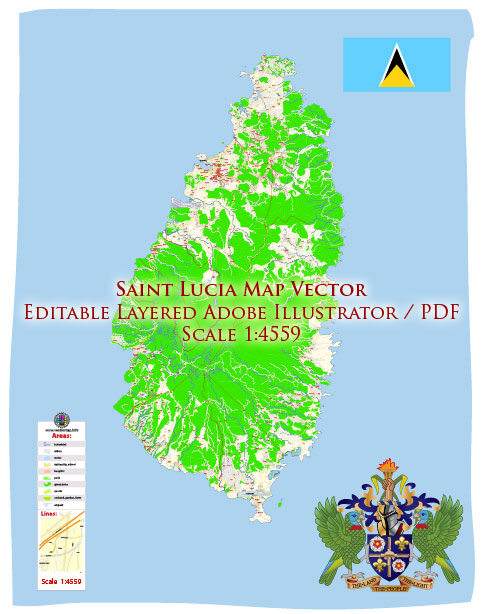
Vector Maps of the Saint Lucia : Eastern Caribbean island nation with a pair of dramatically tapered mountains, the Pitons, on its west coast. Its coast is home to volcanic beaches, reef-diving sites, luxury resorts and fishing villages. Trails in the interior rainforest lead to waterfalls like the 15m-high Toraille, which pours over a cliff into a garden. The capital, Castries, is a popular cruise port.
Capital: Castries
Area:
• Total: 617 km2 (238 sq mi)
• Water: (%) 1.6
Download royalty free, editable vector maps of Saint Lucia in high resolution digital PDF and Adobe Illustrator format.
For printing LARGE (WALL) or SMALL (A4) format (please, see the preview and descriptions). DWG, DXF, CDR, ESRI Shapes, and other formats – by request, the same price, please contact us
Map Data Specification
-
Data type: Vector cartographic dataset
-
Geometry: Polylines and polygons
-
Coordinate system: WGS84 geographic coordinate system
-
Editing compatibility: Adobe Illustrator and vector graphic editors
-
Data structure: Layered map file suitable for design and print workflows


 Author: Kirill Shrayber, Ph.D. FRGS