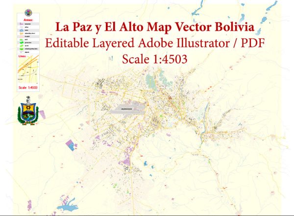
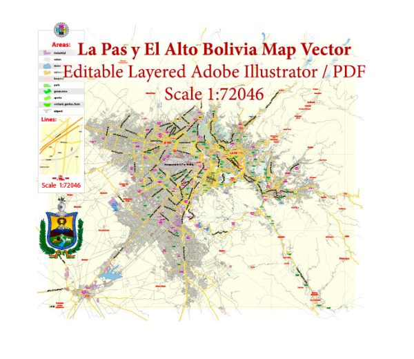
Vector Maps of the Bolivia : country in central South America, with a varied terrain spanning Andes Mountains, the Atacama Desert and Amazon Basin rainforest. At more than 3,500m, its administrative capital, La Paz, sits on the Andes’ Altiplano plateau with snow-capped Mt. Illimani in the background. Nearby is glass-smooth Lake Titicaca, the continent’s largest lake, straddling the border with Peru.
Capital: Sucre
Area:
• Total: 1,098,581 km2 (424,164 sq mi)
• Water: (%) 1.29
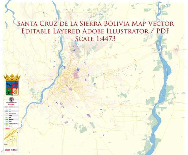
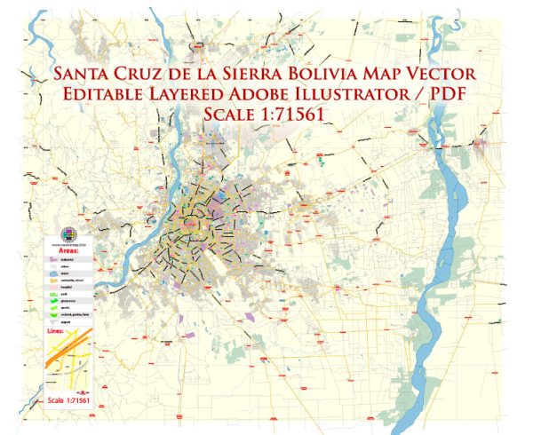
Download royalty free, editable vector maps of Bolivia in high resolution digital PDF and Adobe Illustrator format.
For printing LARGE (WALL) or SMALL (A4) format (please, see the preview and descriptions). DWG, DXF, CDR, ESRI Shapes, and other formats – by request, the same price, please contact us
Map Data Specification
-
Data type: Vector cartographic dataset
-
Geometry: Polylines and polygons
-
Coordinate system: WGS84 geographic coordinate system
-
Editing compatibility: Adobe Illustrator and vector graphic editors
-
Data structure: Layered map file suitable for design and print workflows


 Author: Kirill Shrayber, Ph.D. FRGS