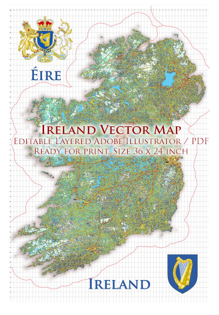
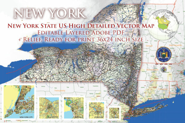
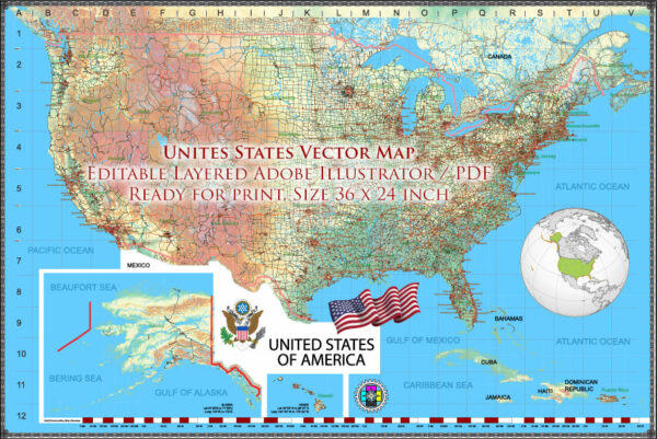
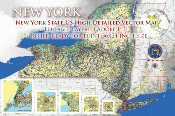
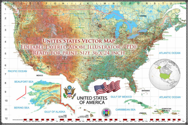
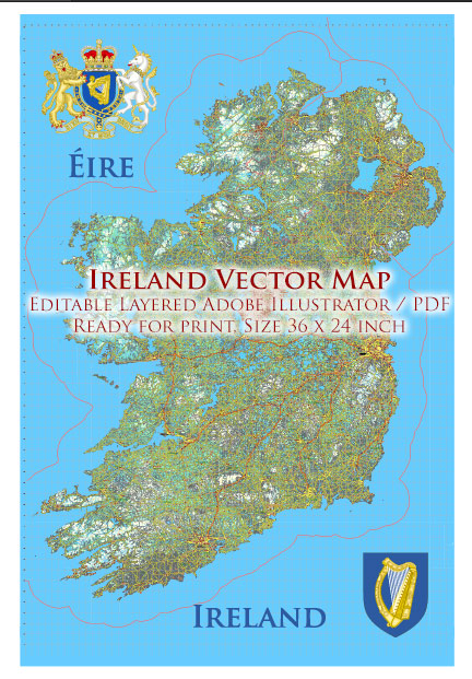
Print-ready vector maps of cities, countries and states, standard print size 24 x 36 inches, editable, layered, high detailed maps
Of course, we can prepare any of our maps for printing according to your format, size and printing method (offset, digital printing).
It should be understood that when laying out a vector map to a specific print size you specify, some elements may become too small to display when printed. There are two options – changing the scale and cropping the map, or removing unreadable elements.
For example, it is obvious that a detailed (all names of all streets) map of a large city – for example, London or Paris or Chicago – can only be printed in large size.
To print similar city maps in a small size, you will need to remove all small elements, some of the names of streets, objects, and, possibly, crop part of the map to an acceptable size.
And, of course, preparation for printing is a separate job and must be paid separately.

 Author: Kirill Shrayber, Ph.D. FRGS