Impossibly detailed views of Earth from space at night and day from Anton Balazh/Gallery
Nothing makes me feel more connected to the rest of the human race than seeing the Earth from space at night.
National borders vanish, and rivers of light unite our towns and cities into a single glowing tapestry. Just look at this incredible view of Europe, sparkling with artificial light: cropped western Europe earth night relief map
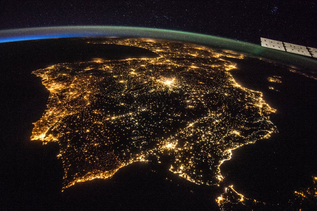
Er, wait a minute. If you’ve seen enough images of Earth from space at night, or you care to look closely enough, this image looks… funny. And yet it has been shared all over the internet as a legitimate NASA photograph. Compare it to this photograph of the Iberian Peninsula, taken by an astronaut aboard the International Space Station in July 2014: Spain Iberian peninsula Europe from space at night NASA As it turns out, the first — and arguably more breathtaking — image is actually a computer rendering created by Russian graphic artist Anton Balazh.
Click to enlarge (attn! traffic! Last 10 images = 8-15 mb each!)
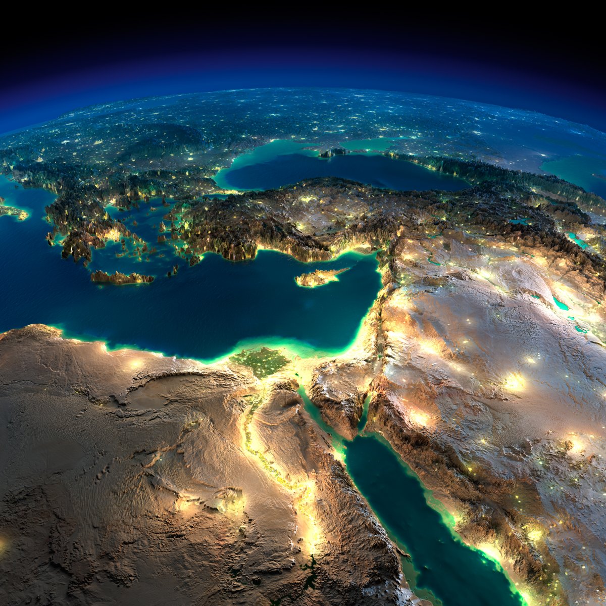
The Middle East and Northeast Africa,
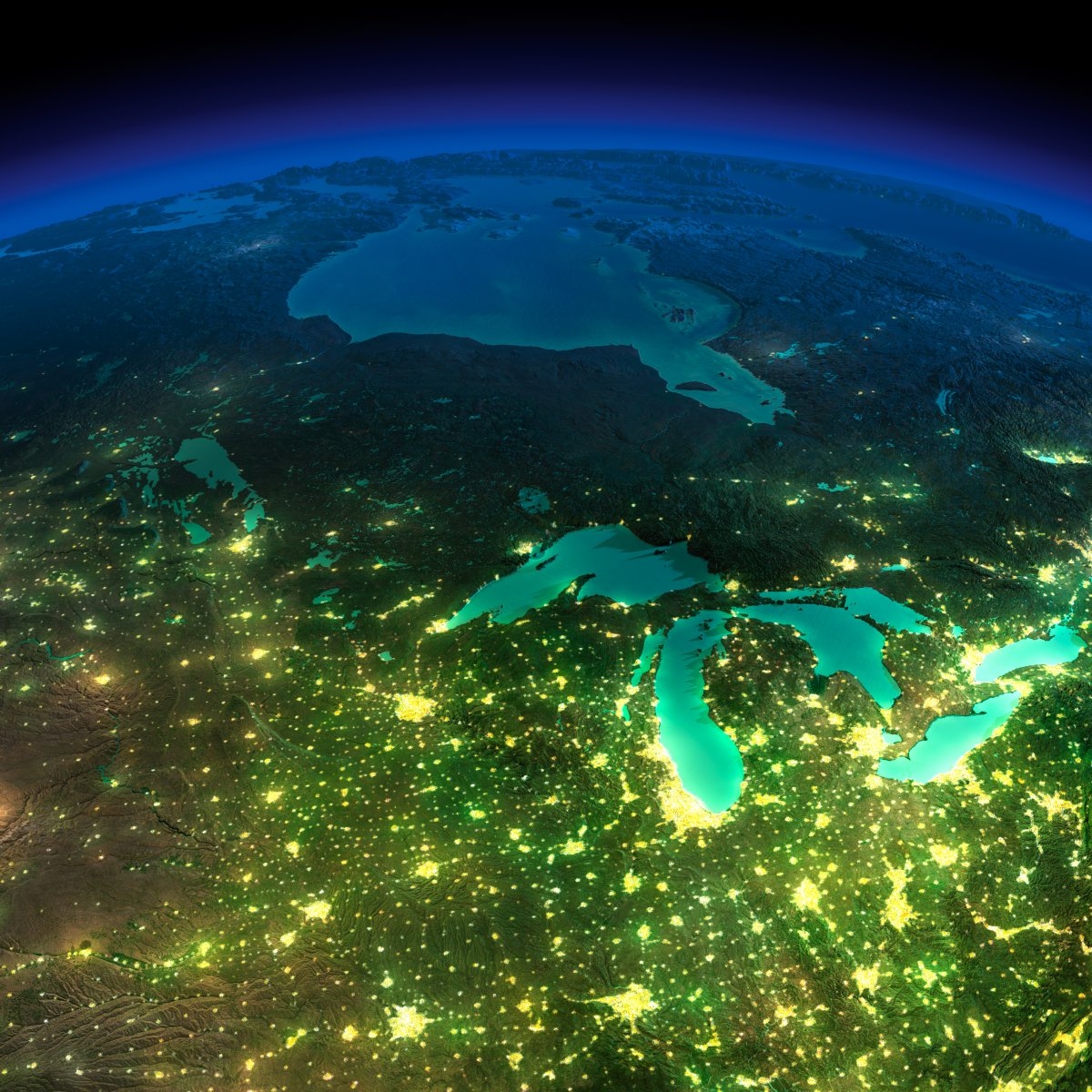
Great Lakes, USA – Canada, North-East
Iberia Peninsula

Mexico,

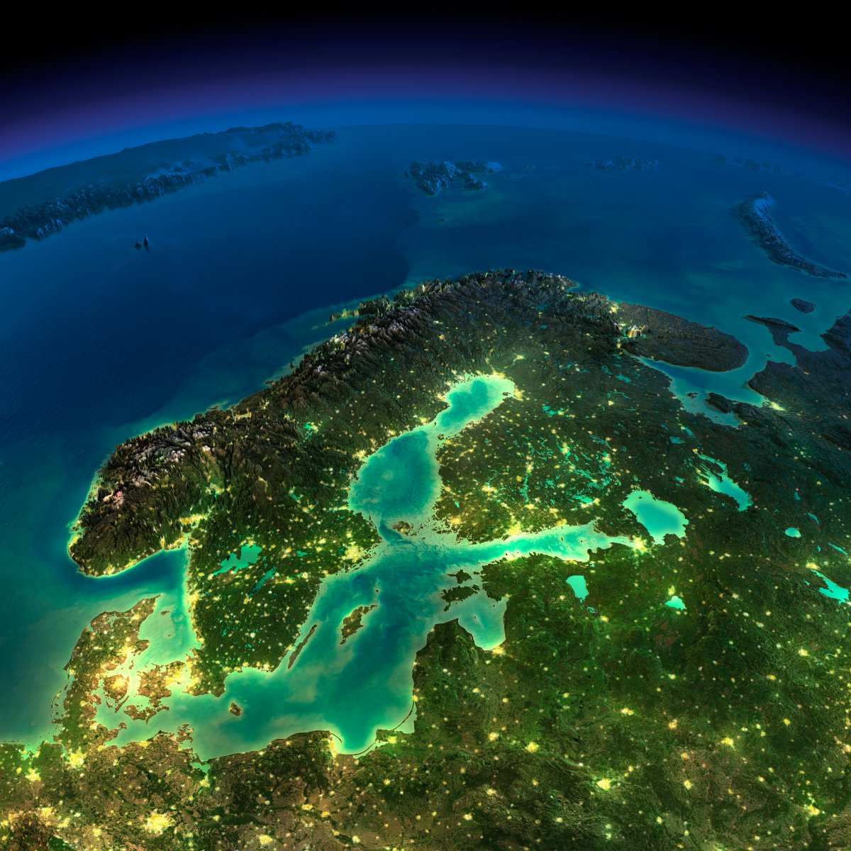
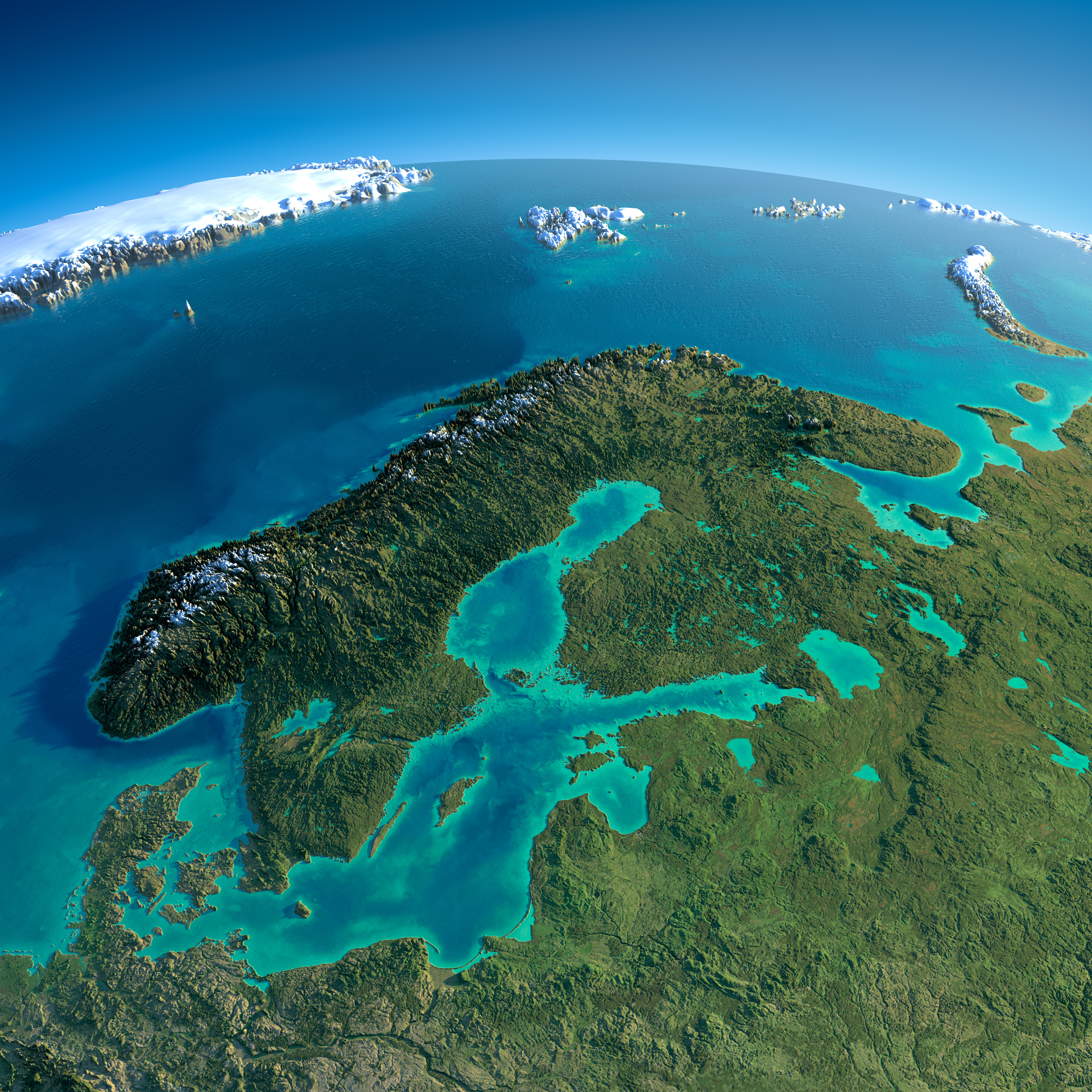
Northern Europe,
Iberia Peninsula
Iberia Peninsula

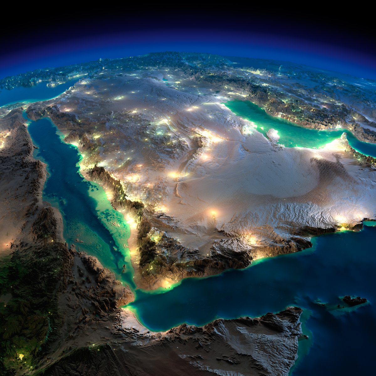
The Arabian Peninsula and eastern Africa,
Great Britain, Northern Europa

Florida, East USA

Caliornia Peninsula, USA – Mexico
![]()


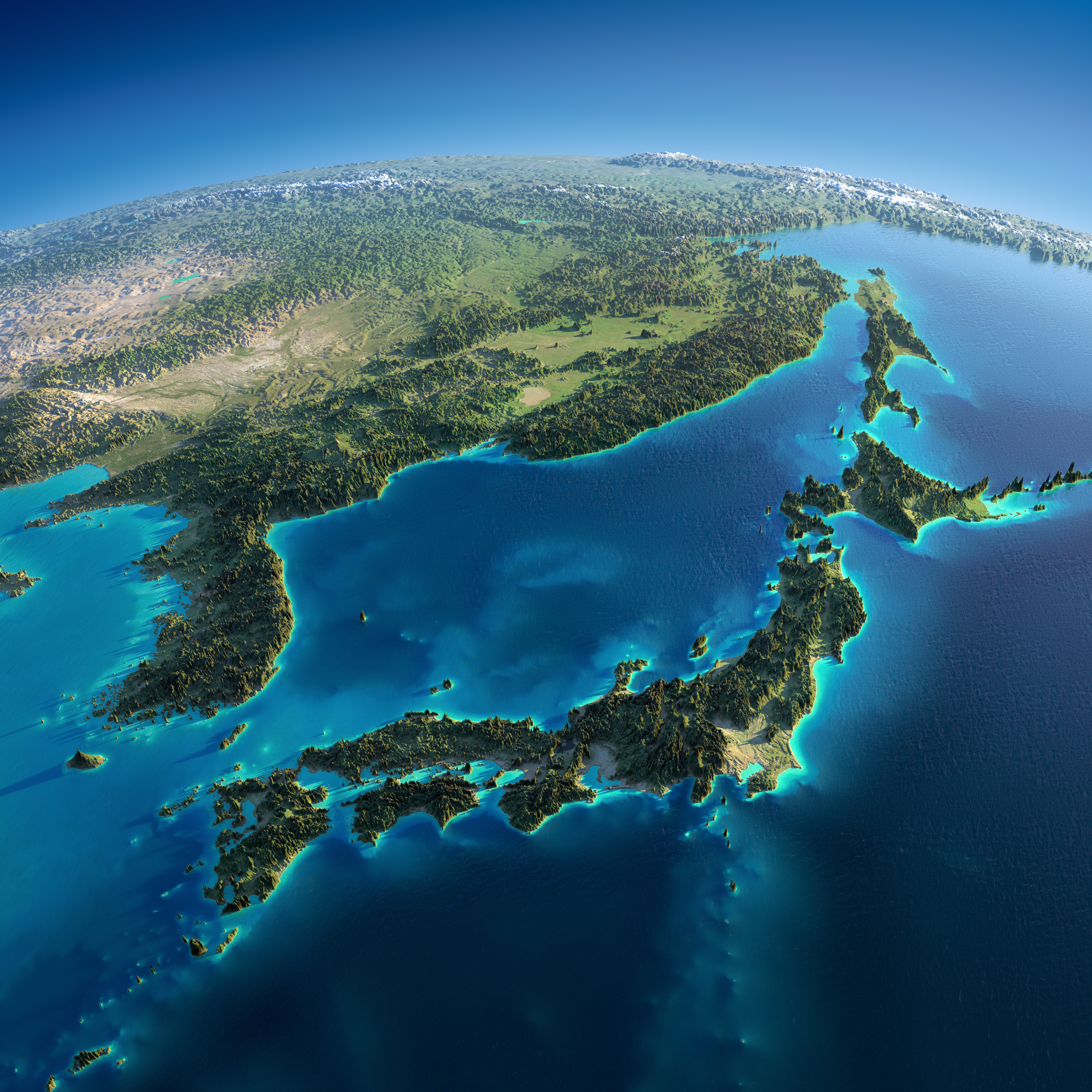
Japan

India and Sri Lanka

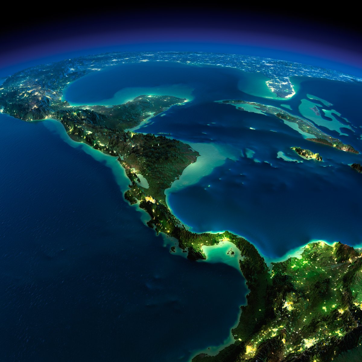
Central America
Earth

Australia

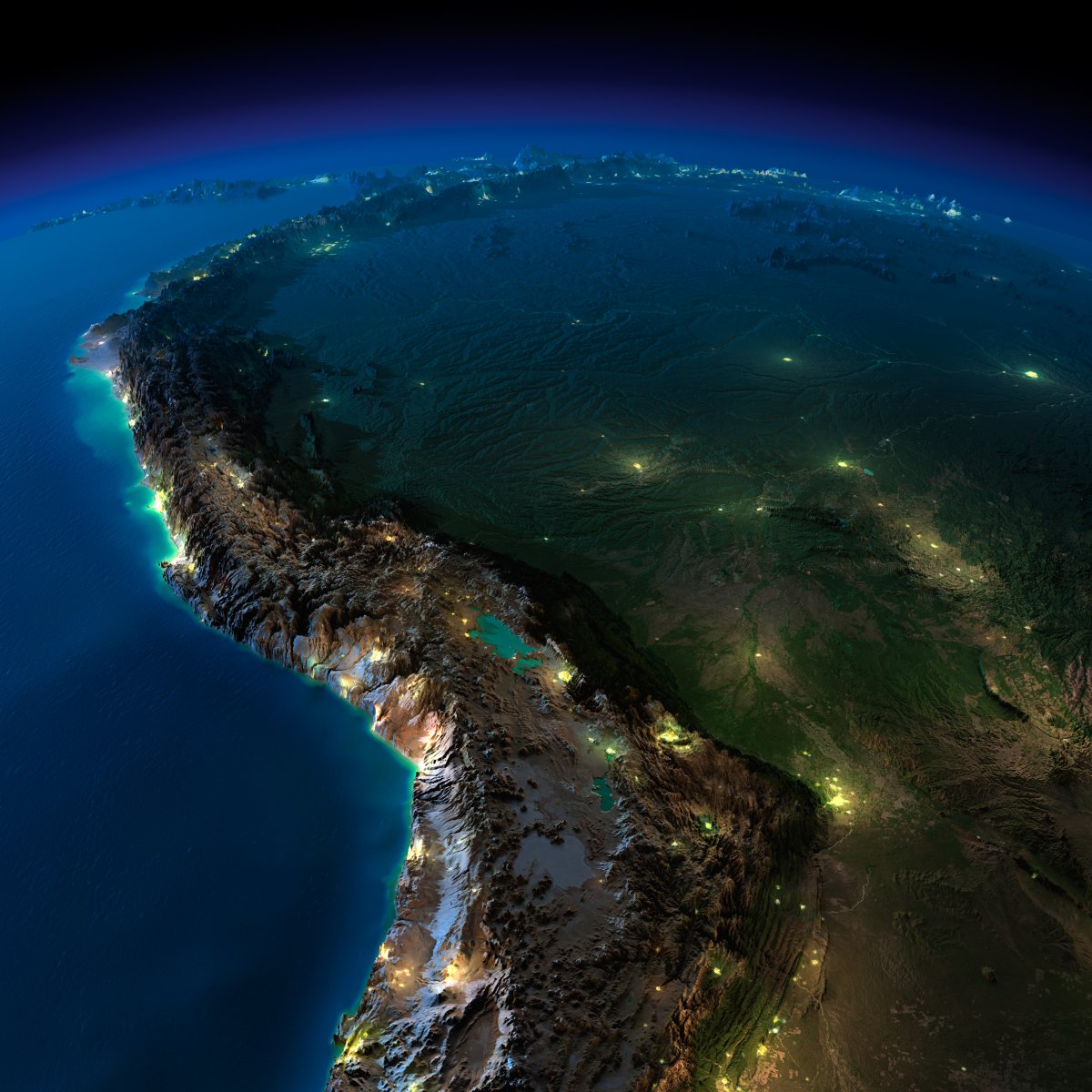
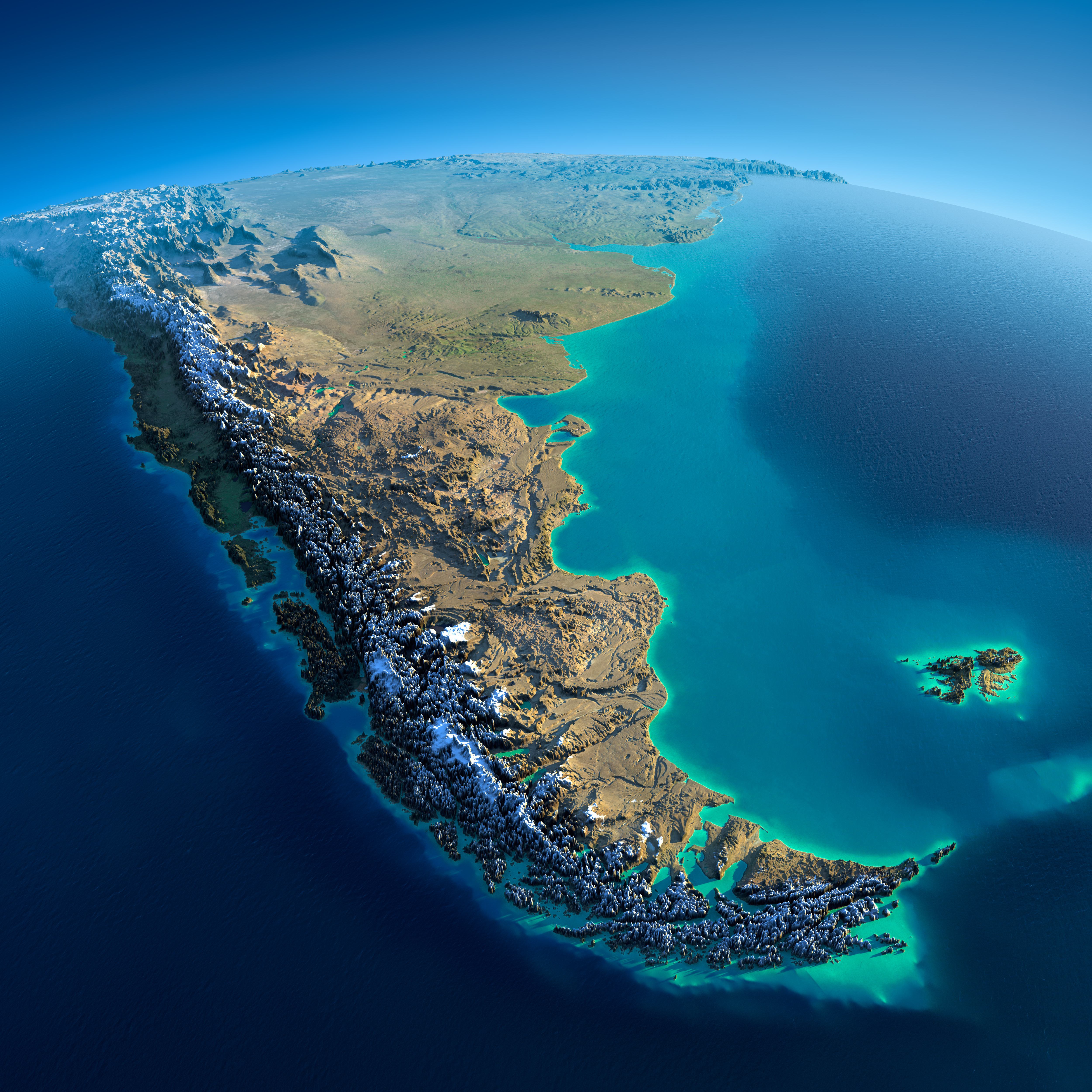
Patagonia, South America
Madagascar

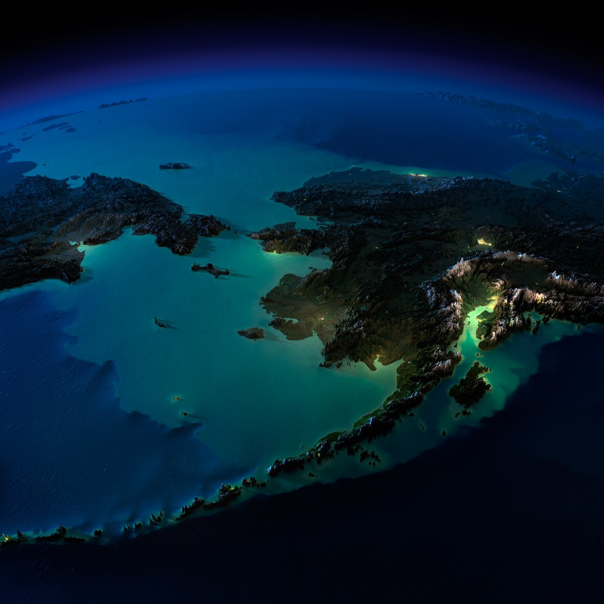
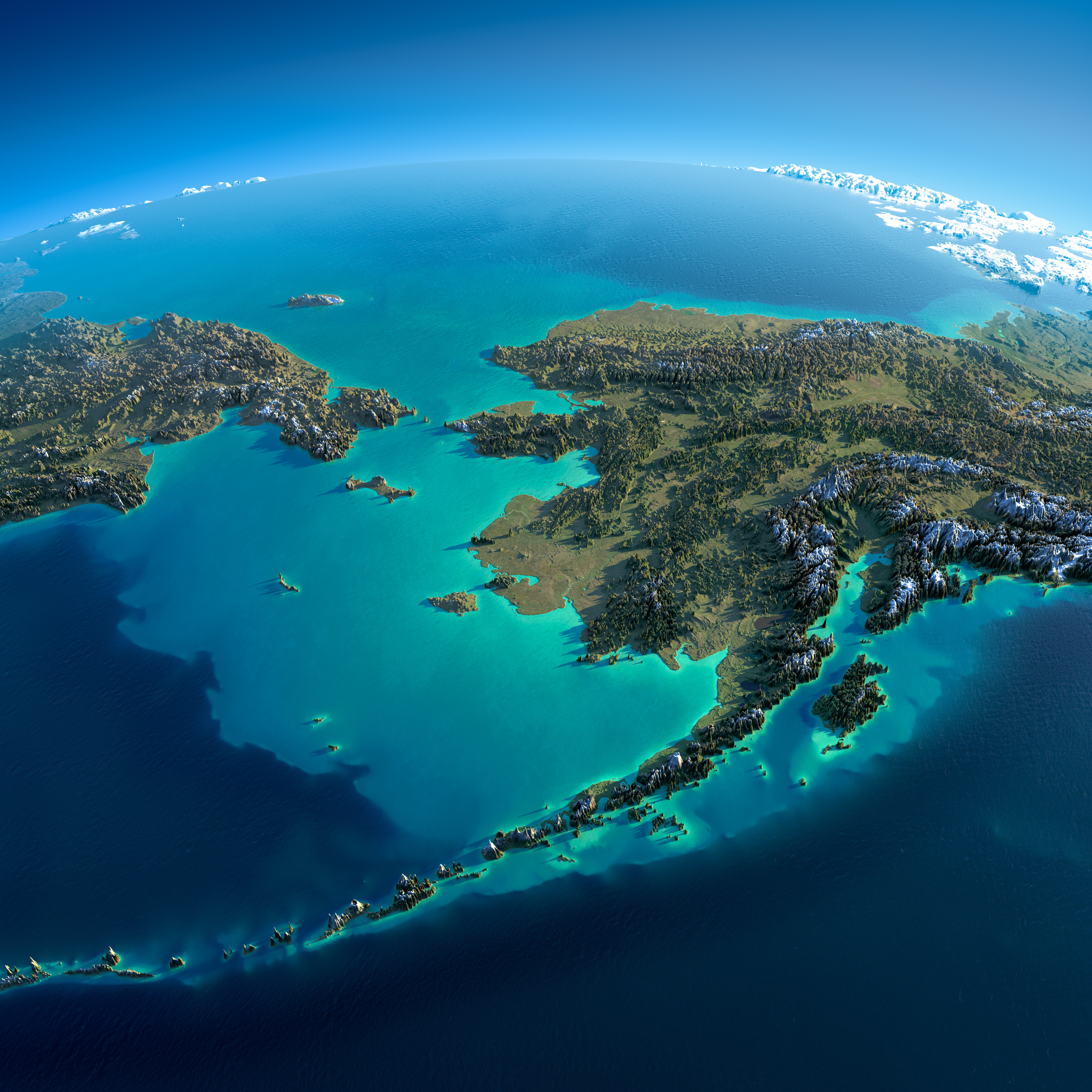
Alaska
Iberia Peninsula

Norhern Europa
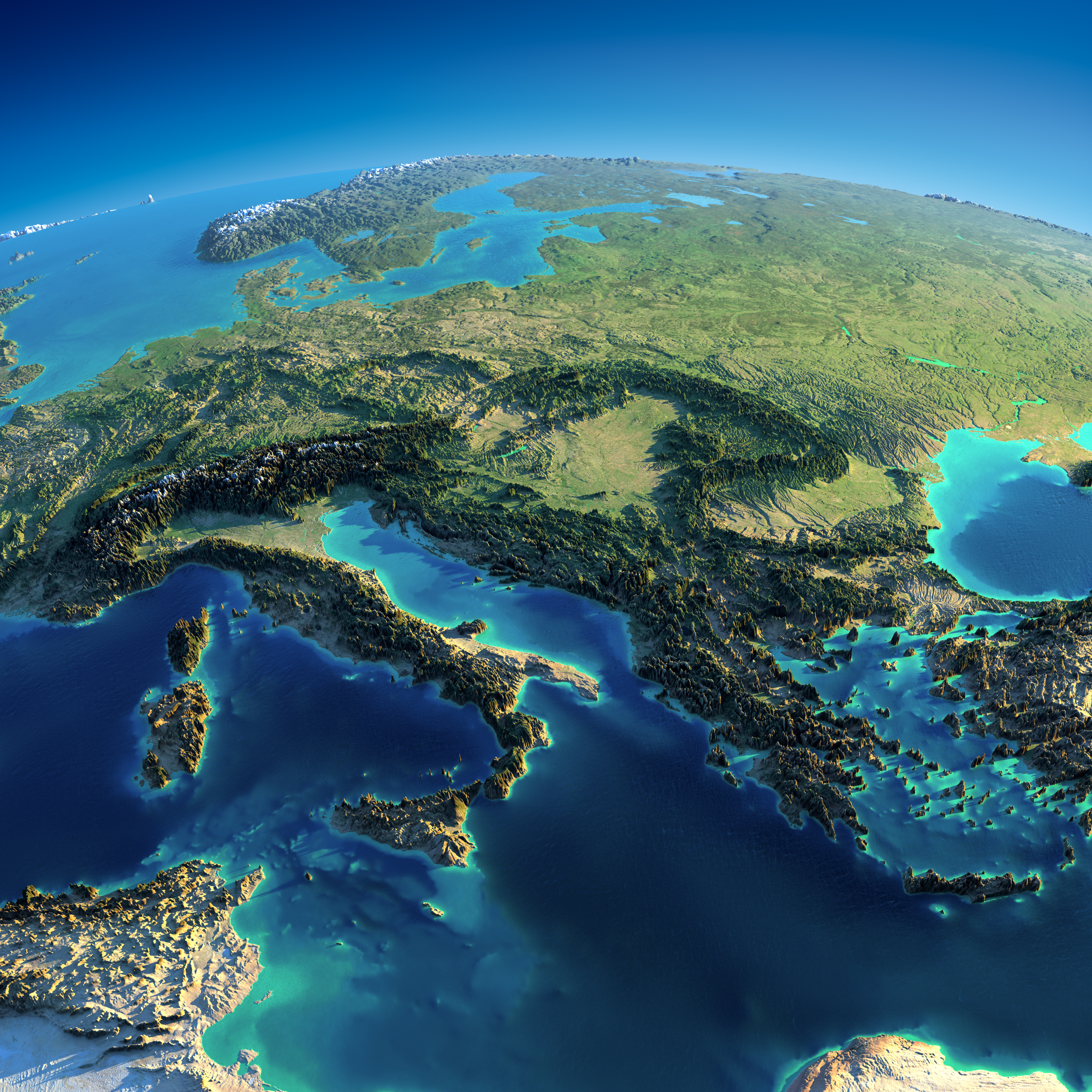
Europa – Italy, Greece
California


Japan
Alaska
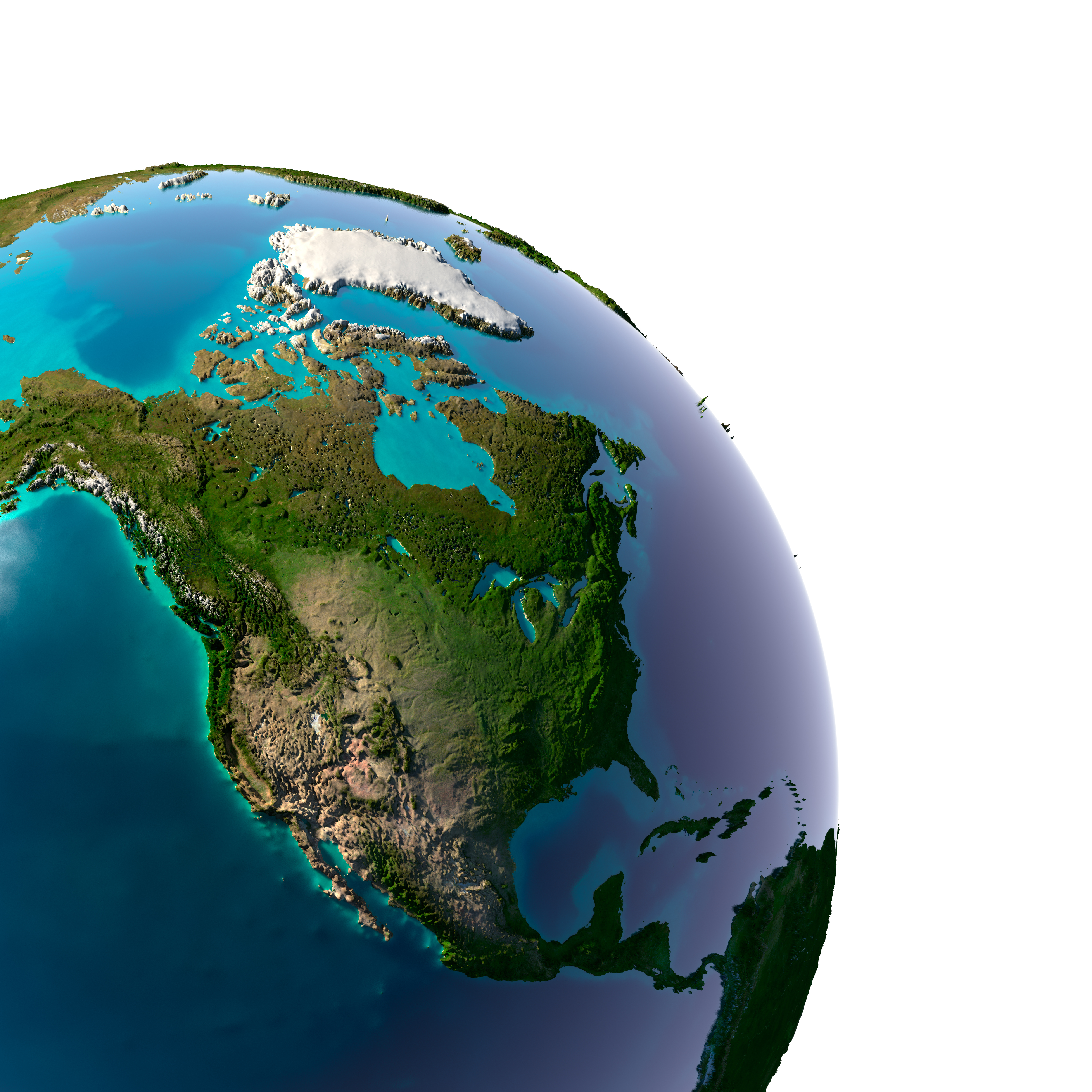
North America
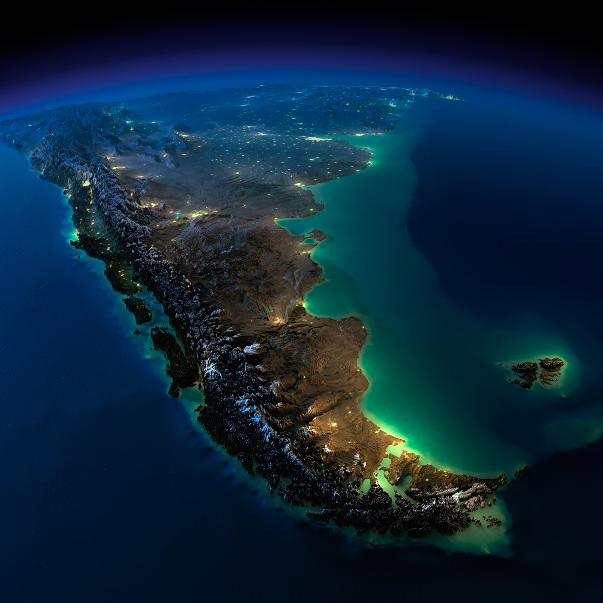
South America
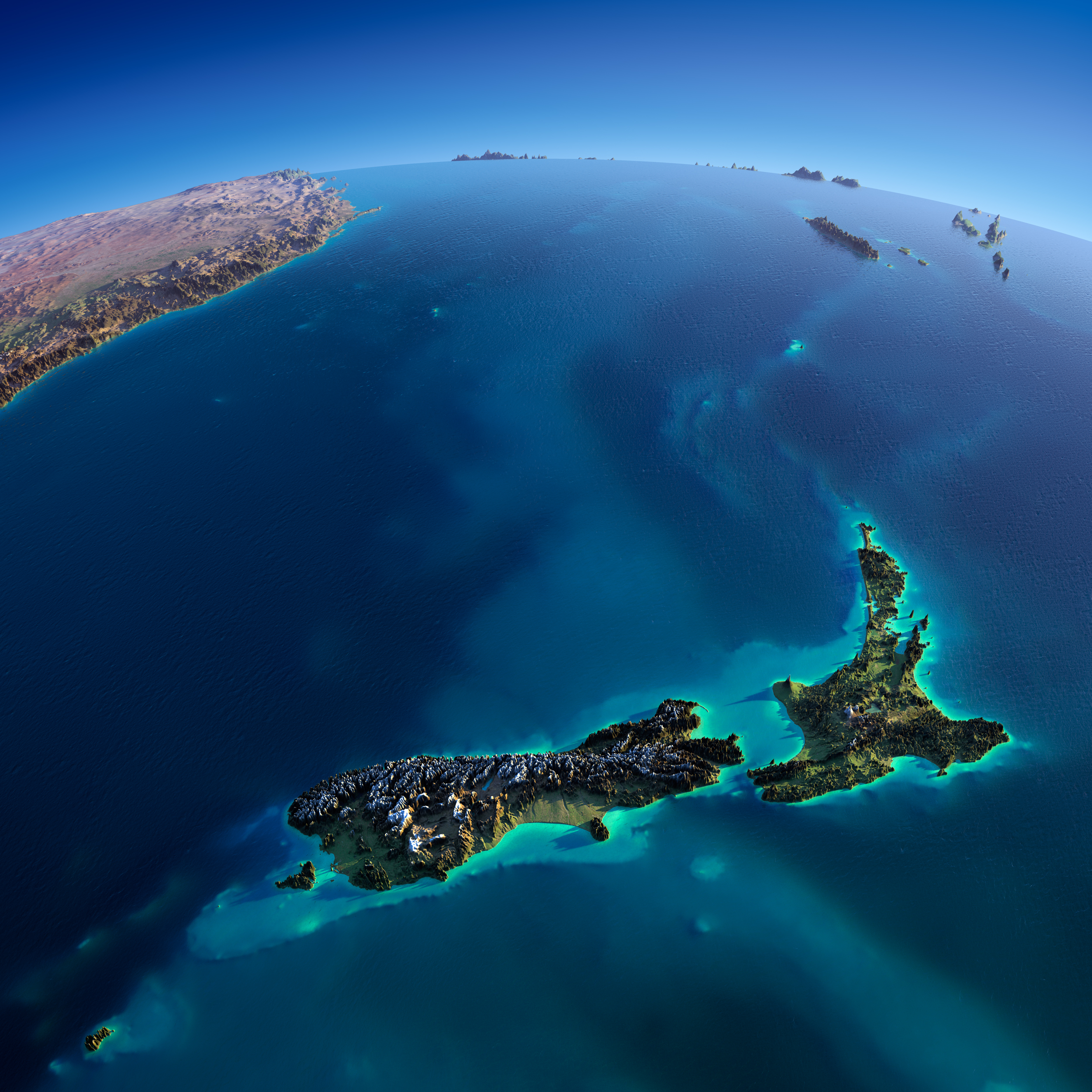
New Zealand
Anton Balazh/Shutterstock
Anton Balazh/Gallery
http://unofficialnetworks.com/2014/06/detailed-relief-maps-show-worlds-mountain-ranges
http://www.techinsider.io/earth-night-space-images-relief-maps-2015-11