Editable Vector Map of the Yokohama Japan in SVG format.
Can be edited in the following programs: Adobe Illustrator, CorelDraw, InkScape
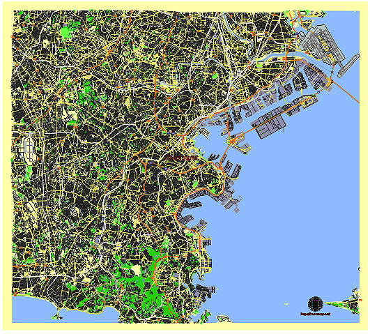
Principal streets and roads, names places, residential streets and roads, road number labels, water objects, land use areas.
Yokohama Japan editable vector map svg free
DOWNLOAD ARCHIVE FOR FREE >>>
Distributed with Creative Commons CC-Zero = Creative Commons CC0 1.0 Universal Public Domain Dedication International License
SEE ALSO FULL VERSION OF THE Yokohama Japan vector map (Adobe Illustrator, PDF etc.)
Yokohama, Japan’s second-largest city, is a vibrant and diverse metropolis with several prominent streets, roads, and districts. Here are some of the principal ones:
Streets and Roads:
- Yamashita Park: A waterfront park offering scenic views of Yokohama Bay and a popular spot for locals and tourists.
- Motomachi Shopping Street: Known for its European-style architecture and trendy shops, this street is a hub for fashion and dining.
- Isezakicho: A historic shopping street with a mix of traditional shops and modern stores, offering a glimpse into Yokohama’s past.
- Minato Mirai 21: A modern district featuring futuristic architecture, entertainment facilities, shopping malls, and landmarks like the Landmark Tower and Cosmo World.
- Yokohama Chinatown: One of the largest Chinatowns in the world, famous for its vibrant atmosphere, traditional Chinese architecture, and numerous restaurants.
- Motomachi-Chukagai Station: The area surrounding this station is bustling with shops, eateries, and is a gateway to Chinatown.
- Kannai: The historic heart of Yokohama, where the city was first opened to foreign trade. It houses attractions like the Yokohama Stadium and Yokohama Archives of History.
Districts:
- Minato Mirai 21: A futuristic waterfront district featuring high-rise buildings, shopping malls, hotels, and attractions like the Yokohama Landmark Tower and the Yokohama Cosmo World amusement park.
- Kannai: The central district of Yokohama, historically significant as the original settlement for foreigners. It includes Yokohama Stadium, Yokohama Park, and several government buildings.
- Yamate: A residential district known for its Western-style houses, offering scenic views of the city and the bay.
- Sakuragicho: Adjacent to Minato Mirai, this area features Sakuragicho Station, hotels, shopping, and dining options.
- Yokohama Station: A major transportation hub with extensive shopping complexes, department stores, and restaurants.
These areas collectively showcase Yokohama’s blend of historical charm, modern architecture, and cultural diversity, making it a fascinating destination for visitors from around the world.
 Author: Kirill Shrayber, Ph.D. FRGS