Editable Vector Map of the Washington DC Baltimore MD US in SVG format.
Can be edited in the following programs: Adobe Illustrator, CorelDraw, InkScape
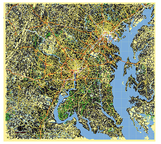
Principal streets and roads, names places, residential streets and roads, road number labels, water objects, land use areas.
Washington DC and Baltimore MD US editable vector map svg free
DOWNLOAD ARCHIVE FOR FREE >>>
Distributed with Creative Commons CC-Zero = Creative Commons CC0 1.0 Universal Public Domain Dedication International License
SEE ALSO FULL VERSION OF THE Washington DC Baltimore MD US vector map (Adobe Illustrator, PDF etc.)
Washington, D.C. and Baltimore, MD are two major cities in the Mid-Atlantic region of the United States. Here are some principal streets, roads, and city districts for each:
Washington, D.C.:
Principal Streets:
- Pennsylvania Avenue – Famous for being the location of the White House and several important government buildings.
- Constitution Avenue – Runs parallel to the National Mall and hosts many museums and monuments.
- K Street NW – Known for its association with lobbying and business activities.
- 16th Street NW – Significant for its historical and cultural landmarks.
- Connecticut Avenue – A major north-south artery with shopping, dining, and residential areas.
City Districts:
- Capitol Hill – Houses the U.S. Capitol and the Supreme Court, known for its historic architecture and political importance.
- Georgetown – A historic neighborhood with upscale shopping, dining, and Georgetown University.
- Dupont Circle – Known for its vibrant cultural scene, parks, and diverse dining options.
- Adams Morgan – A lively area with diverse nightlife, restaurants, and cultural diversity.
- The National Mall – A national park area lined with monuments and museums, including the Lincoln Memorial and Washington Monument.
Baltimore, MD:
Principal Streets:
- Inner Harbor – A major waterfront area with attractions like the National Aquarium and historic ships.
- Charles Street – Runs through several historic neighborhoods and cultural institutions.
- North Avenue – Known for its historical significance and community landmarks.
- Light Street – Connects Inner Harbor to Federal Hill, known for dining, shopping, and nightlife.
- Eastern Avenue – Forms the boundary between Baltimore and its eastern suburbs.
City Districts:
- Inner Harbor – A tourist-friendly area with attractions, dining, and shopping along the waterfront.
- Fells Point – Historic district known for its cobblestone streets, pubs, and maritime history.
- Federal Hill – Offers views of the Inner Harbor and is known for its nightlife and dining scene.
- Mount Vernon – Cultural district with historic architecture, galleries, and the Washington Monument.
- Little Italy – Known for its Italian restaurants, bakeries, and cultural events.
These lists provide an overview of some of the most notable streets, roads, and districts in Washington, D.C. and Baltimore, MD, highlighting their cultural, historical, and economic significance.
 Author: Kirill Shrayber, Ph.D. FRGS