Editable Vector Map of the Warsaw Poland in SVG format.
Can be edited in the following programs: Adobe Illustrator, CorelDraw, InkScape
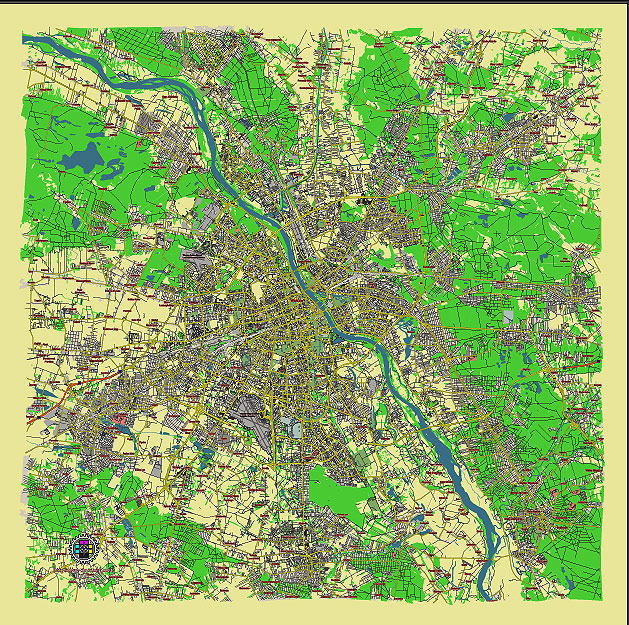
Principal streets and roads, names places, residential streets and roads, road number labels, water objects, land use areas.
Warsaw Poland editable vector map svg free
DOWNLOAD ARCHIVE FOR FREE >>>
Distributed with Creative Commons CC-Zero = Creative Commons CC0 1.0 Universal Public Domain Dedication International License
SEE ALSO FULL VERSION OF THE Warsaw Poland vector map (Adobe Illustrator, PDF etc.)
Warsaw, the capital of Poland, is divided into several districts and notable streets. Here’s an overview:
Districts (Dzielnice):
- Śródmieście – The city center where many historical and governmental buildings are located.
- Praga Północ – Located on the east bank of the Vistula River, known for its artistic and cultural vibe.
- Praga Południe – Also on the east side, undergoing rapid development.
- Żoliborz – A green district with parks and upscale residential areas.
- Mokotów – A popular residential area with parks and recreational spaces.
- Ursynów – A modern district with residential complexes and shopping centers.
- Ochota – Located near the city center, known for its residential and business zones.
- Wola – A rapidly developing area with new residential and commercial projects.
- Bielany – Known for its academic institutions and green spaces.
- Włochy – An industrial and residential district near Warsaw Chopin Airport.
- Bemowo – A residential area with new housing developments.
- Wilanów – A wealthy district known for its historic Wilanów Palace and gardens.
- Białołęka – A suburban district with residential areas and green spaces.
Main Streets and Roads:
- Aleje Jerozolimskie – One of Warsaw’s principal streets running from the city center westward.
- Nowy Świat – A historic street lined with shops, cafes, and historic buildings.
- Krakowskie Przedmieście – A picturesque street connecting the Old Town with the Royal Castle.
- Marszałkowska – A major avenue with shops, restaurants, and office buildings.
- Świętokrzyska – An important street crossing through the city center.
- Puławska – A long avenue connecting the city center with the southern districts.
- Targowa – Located in Praga, known for its market and historical importance.
- Grojecka – Connecting central Warsaw with the western districts.
- Lubelska – Running southeast from the city center towards Lublin.
- Wisłostrada – A road running along the Vistula River, connecting various parts of the city.
These districts and streets reflect Warsaw’s diversity, blending historical landmarks with modern developments, residential areas, and cultural hotspots.
 Author: Kirill Shrayber, Ph.D. FRGS