Editable Vector Map of the Islamabad and Rawalpindi Pakistan in SVG format.
Can be edited in the following programs: Adobe Illustrator, CorelDraw, InkScape
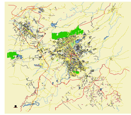
Principal streets and roads, names places, residential streets and roads, road number labels, water objects, land use areas.
Islamabad and Rawalpindi Pakistan editable vector map svg free
DOWNLOAD ARCHIVE FOR FREE >>>
Distributed with Creative Commons Attribution 4.0 International License
Here are some principal streets, roads, and city districts of Islamabad and Rawalpindi, Pakistan:
Islamabad:
- Jinnah Avenue: One of the main roads in Islamabad, running from Zero Point Interchange to the Blue Area, it is lined with government buildings and commercial centers.
- Constitution Avenue: Another important road in Islamabad, hosting important government buildings like the Supreme Court of Pakistan, Parliament House, and the Prime Minister’s Secretariat.
- Faisal Avenue: Connects Jinnah Avenue with the Faisal Mosque, one of the largest mosques in the world.
- Margalla Road: Runs along the Margalla Hills, providing access to various residential areas and recreational spots.
- Blue Area: A commercial center in Islamabad, home to numerous offices, banks, and shopping centers.
- Diplomatic Enclave: Houses embassies and diplomatic missions of various countries.
- G-7, G-8, G-9, G-10: Residential sectors in Islamabad.
Rawalpindi:
- Murree Road: One of the busiest roads in Rawalpindi, connecting it to Islamabad and leading towards Murree.
- Sadar: The central business district of Rawalpindi, known for its markets, shopping centers, and restaurants.
- Benazir Bhutto Road: Another major road in Rawalpindi, connecting various residential and commercial areas.
- Rawal Road: Runs parallel to Murree Road and serves as a major transportation artery.
- Chandni Chowk: A bustling area known for its markets, eateries, and shopping centers.
- Westridge: A residential area in Rawalpindi.
- Satellite Town: One of the oldest planned residential areas in Rawalpindi, known for its wide streets and greenery.
These are just a few of the main streets, roads, and districts in Islamabad and Rawalpindi, as both cities have numerous other important areas and landmarks.
 Author: Kirill Shrayber, Ph.D. FRGS