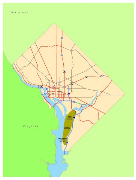
Free vector map District Columbia US Adobe Illustrator and PDF download
Free vector map District Columbia US Adobe Illustrator download now >>>
Free vector map District Columbia US Adobe PDF download now >>>
Washington, D.C. See also: Full version high detailed vector maps of the District territory, and Cities
Capital of the United States of America
Washington, DC, the U.S. capital, is a compact city on the Potomac River, bordering the states of Maryland and Virginia. It’s defined by imposing neoclassical monuments and buildings – including the iconic ones that house the federal government’s 3 branches: the Capitol, White House, and Supreme Court. It’s also home to iconic museums and performing-arts venues such as the Kennedy Center.

 Author: Kirill Shrayber, Ph.D. FRGS