Editable Vector Map of the Charlottesville Virginia US in SVG format.
Can be edited in the following programs: Adobe Illustrator, CorelDraw, InkScape
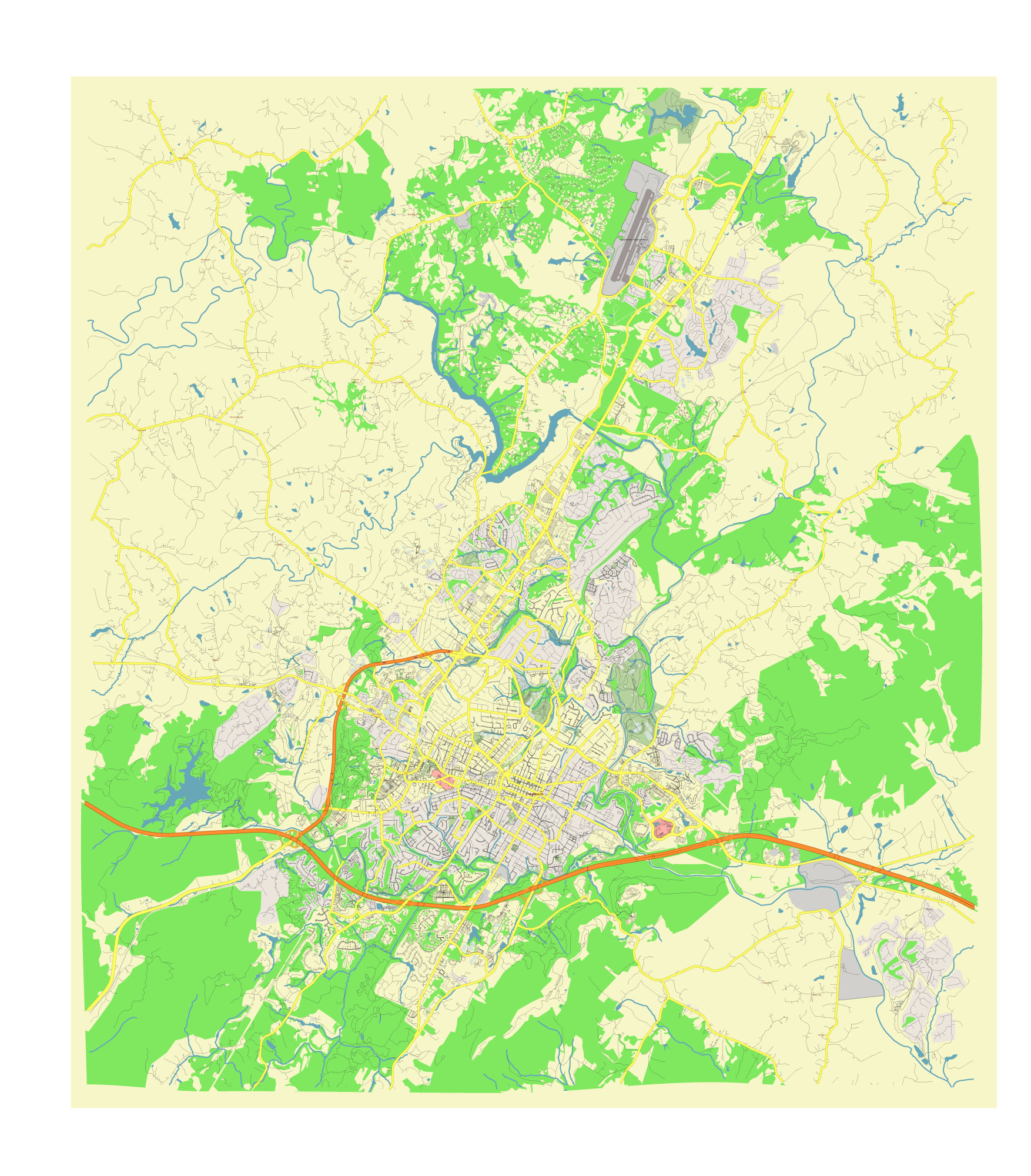
Principal streets and roads, names places, residential streets and roads, road number labels, water objects, land use areas.
Charlottesville Virginia US editable vector map svg free DOWNLOAD ARCHIVE FOR FREE >>>
Distributed with Creative Commons CC-Zero = Creative Commons CC0 1.0 Universal Public Domain Dedication International License
SEE ALSO FULL VERSION OF THE Charlottesville Virginia US vector map (Adobe Illustrator, PDF etc.)
Charlottesville, Virginia, is a historic city known for its association with Thomas Jefferson and the University of Virginia. Here are some of the principal streets, roads, and districts that define Charlottesville:
Streets and Roads:
- Main Street: Central to downtown Charlottesville, Main Street includes the pedestrian-friendly Downtown Mall, lined with shops, restaurants, and entertainment venues.
- Jefferson Park Avenue (JPA): Runs through a residential and student area, connecting the University of Virginia to various neighborhoods and parks.
- Emmet Street (Route 29): A major north-south artery through Charlottesville, providing access to the University of Virginia, shopping centers, and residential areas.
- West Main Street: Connects the Downtown Mall to the University of Virginia, featuring a mix of historic buildings, restaurants, and hotels.
- Preston Avenue: An important thoroughfare that runs parallel to Main Street, providing access to local businesses, residential areas, and schools.
- Ivy Road (Route 250): Connects Charlottesville to the west, including the affluent neighborhoods and the University of Virginia’s west grounds.
City Districts and Neighborhoods:
- Downtown Mall: A vibrant pedestrian mall in the heart of Charlottesville, featuring shops, restaurants, theaters, and public spaces.
- The Corner: A lively area adjacent to the University of Virginia, popular with students for its restaurants, bars, and shops.
- Belmont: A historic and diverse neighborhood southeast of downtown, known for its local restaurants, charming homes, and community feel.
- Fry’s Spring: A residential neighborhood with a mix of historic homes and modern developments, located near the Fry’s Spring Beach Club.
- Barracks Road: An area centered around the Barracks Road Shopping Center, featuring a variety of stores, dining options, and services.
- North Downtown: A primarily residential area north of the Downtown Mall, known for its historic homes and tree-lined streets.
- Venable: Located near the University of Virginia, this neighborhood is home to many university faculty, students, and historic buildings.
- Rugby Road-University Circle-Venable Neighborhood Historic District: A historic district with grand homes and proximity to the university.
Notable Areas:
- University of Virginia (UVA): Founded by Thomas Jefferson, the university’s campus is a central feature of Charlottesville, known for its historic Rotunda and Academical Village.
- Monticello: The historic home of Thomas Jefferson, located just outside of Charlottesville, is a UNESCO World Heritage site and major tourist attraction.
- Rivanna Trail: A network of trails around Charlottesville, providing recreational opportunities and access to natural areas.
These streets, roads, and districts highlight Charlottesville’s rich history, educational prominence, and vibrant community life.
 Author: Kirill Shrayber, Ph.D. FRGS