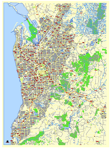
Adelaide Australia editable vector map svg free
Editable Vector Map of the Adelaide Australia in SVG format.
Can be edited in the following programs: Adobe Illustrator, CorelDraw, Inkscape
Principal streets and roads, names places, residential streets and roads, road number labels, water objects, landuse areas.
Adelaide Australia editable vector map svg free
DOWNLOAD ARCHIVE FOR FREE >>>
Distributed with Creative Commons Attribution 4.0 International License
SEE ALSO FULL VERSION OF THE Adelaide Australia vector map (Adobe Illustrator, PDF etc.)
Adelaide, the capital city of South Australia, is known for its well-planned layout and vibrant city districts. Here’s a detailed overview of its principal streets, roads, and key districts:
Principal Streets and Roads
- King William Street:
- One of Adelaide’s main thoroughfares, running north-south through the city center.
- Connects the northern and southern parts of the city, crossing the River Torrens.
- North Terrace:
- A major east-west street running along the northern edge of the city center.
- Home to several cultural institutions, including the Art Gallery of South Australia, the South Australian Museum, and the State Library of South Australia.
- Rundle Street:
- Located in the East End, known for its vibrant shopping and dining precinct.
- Extends into Rundle Mall, Adelaide’s premier shopping destination.
- Grenfell Street:
- Runs parallel to Rundle Street and is a key commercial artery in the city center.
- Connects to Pulteney Street, another significant road.
- Hindley Street:
- Known for its nightlife, with numerous bars, clubs, and restaurants.
- Runs parallel to North Terrace in the west of the city center.
- Anzac Highway:
- Connects the city center to the beachside suburb of Glenelg.
- A major route for commuters and visitors heading to the coast.
- Port Road:
- Runs northwest from the city center to Port Adelaide.
- Important for connecting the city with the port and western suburbs.
- Glen Osmond Road:
- Leads southeast from the city towards the Adelaide Hills and beyond.
- Serves as a major route for traffic heading towards Melbourne.
Key City Districts
- Adelaide City Centre (CBD):
- The central business district, also known as the “Square Mile” due to its grid layout.
- Contains key landmarks, including Victoria Square, Adelaide Central Market, and the Adelaide Convention Centre.
- North Adelaide:
- Located north of the River Torrens, known for its heritage architecture and parklands.
- Key areas include O’Connell Street, Melbourne Street, and the Adelaide Oval.
- East End:
- A vibrant area known for its dining, shopping, and cultural venues.
- Features the Adelaide Botanic Garden and the National Wine Centre of Australia.
- West End:
- Known for its creative arts scene and entertainment venues.
- Home to the University of South Australia’s City West campus and the Royal Adelaide Hospital.
- South Adelaide:
- Includes residential neighborhoods and key medical facilities.
- Features the South Terrace Parklands.
- Glenelg:
- A popular beachside suburb to the southwest of the city.
- Known for Glenelg Beach, Jetty Road shopping precinct, and the Glenelg tram.
- Port Adelaide:
- A historic port district to the northwest of the city.
- Features maritime museums, heritage buildings, and waterfront attractions.
- Adelaide Hills:
- A picturesque region to the east of the city known for its wineries, orchards, and charming towns.
- Key areas include Hahndorf, Stirling, and Mount Lofty.
These streets, roads, and districts form the backbone of Adelaide’s transportation network and cultural landscape, offering a mix of historic charm and modern amenities.
 Author: Kirill Shrayber, Ph.D. FRGS