En: If you are drawing, designing the maps, maps of cities and countries, or did it ever before, and they have remained “in reserve” – we invite you to cooperation with our project. We are ready to place and sell your cards on our website, with our interest will be only 25% of sales. Write to us and we will update for you all conditions.
Es: Si usted está dibujando, diseñando la mapas, mapas de ciudades y países, o lo hizo nunca, y se han mantenido “en reserva” – le invitamos a la cooperación con nuestro proyecto. Estamos listos para colocar y vender sus tarjetas en nuestro sitio web, con nuestro interés será sólo el 25% de las ventas. Escribir para nosotros y vamos a actualizar para usted todas las condiciones.
Fr: Si vous dessinez, la conception de la cartes, cartes de villes et de pays, ou at-il jamais, et ils sont restés «en réserve» – nous vous invitons à la coopération avec notre projet. Nous sommes prêts à placer et vendre vos cartes sur notre site, notre intérêt sera seulement 25% des ventes. Écrivez-nous et nous mettrons à jour pour vous toutes les conditions.
De: Wenn Sie zeichnen, die Gestaltung der Karten, Karten der Städte und Länder, oder haben es noch nie, und sie “in Reserve” geblieben – wir laden Sie zur Zusammenarbeit mit unserem Projekt. Wir sind bereit, zu platzieren und verkaufen Sie Ihre Karten auf unserer Website, mit unser Interesse nur 25% des Umsatzes betragen. Schreiben Sie uns, und wir werden für Sie aktualisieren alle Bedingungen.
It: Se si sta disegnando, progettando la mappe, mappe di città e paesi, o lo ha fatto mai prima, e sono rimasti “in riserva” – vi invitiamo a collaborazione con il nostro progetto. Siamo pronti a mettere le tue carte e vendere sul nostro sito, con il nostro interesse sarà solo il 25% delle vendite. Scrivici e vi aggiorneremo per voi tutte le condizioni.
Ru: Если вы рисуете, разрабатываете карты городов и стран, или делали это когда-нибудь раньше и они у вас остались “про запас” – мы предлагаем вам сотрудничество с нашим проектом. Мы готовы размещать и продавать ваши карты на нашем сайте, при этом наш интерес составит всего 25% от суммы продажи. Напишите нам, и мы уточним для вас все условия.
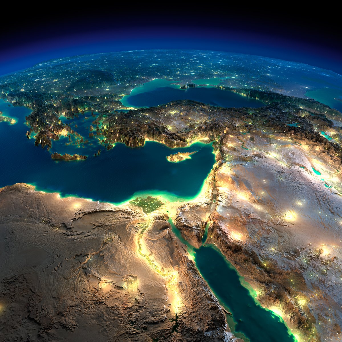
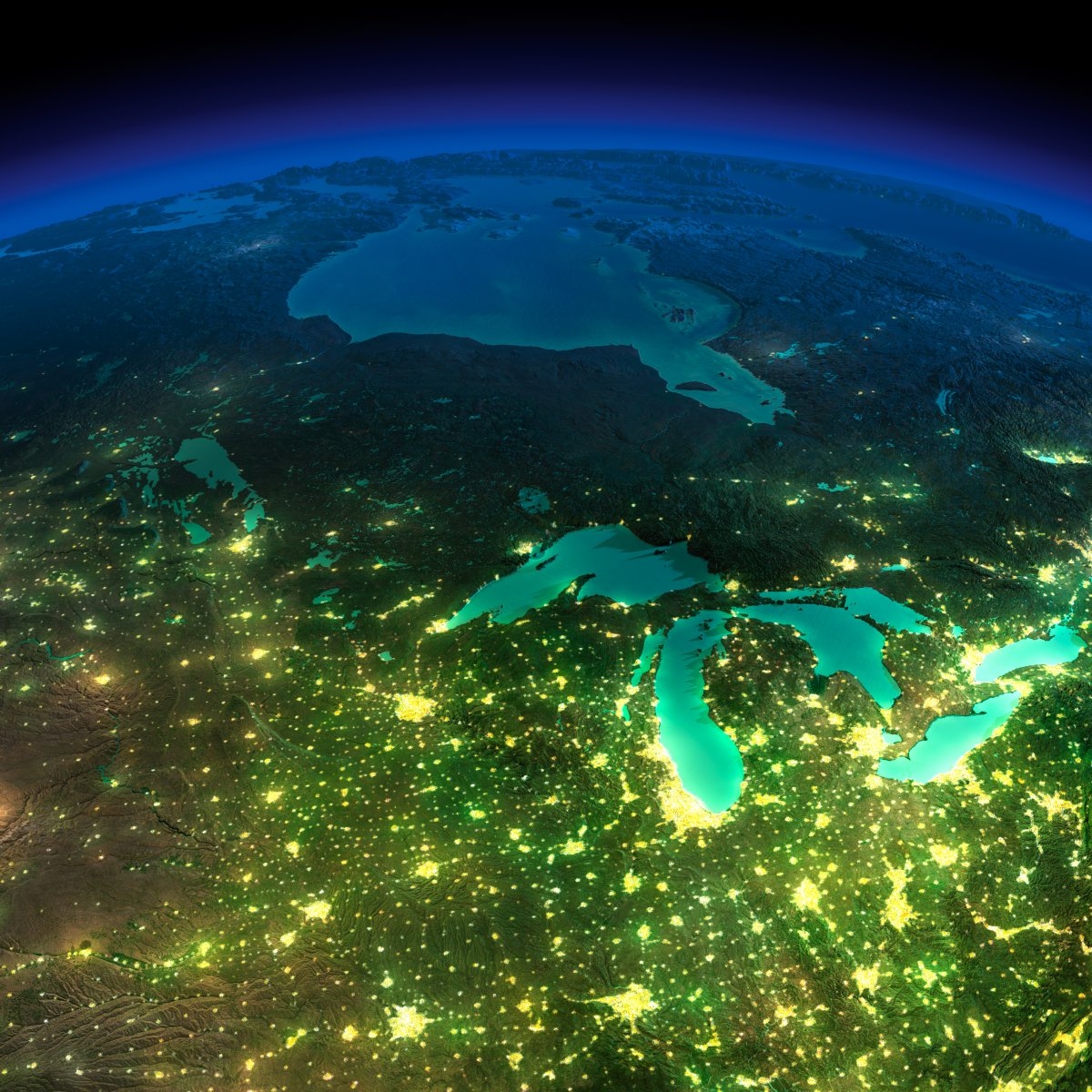
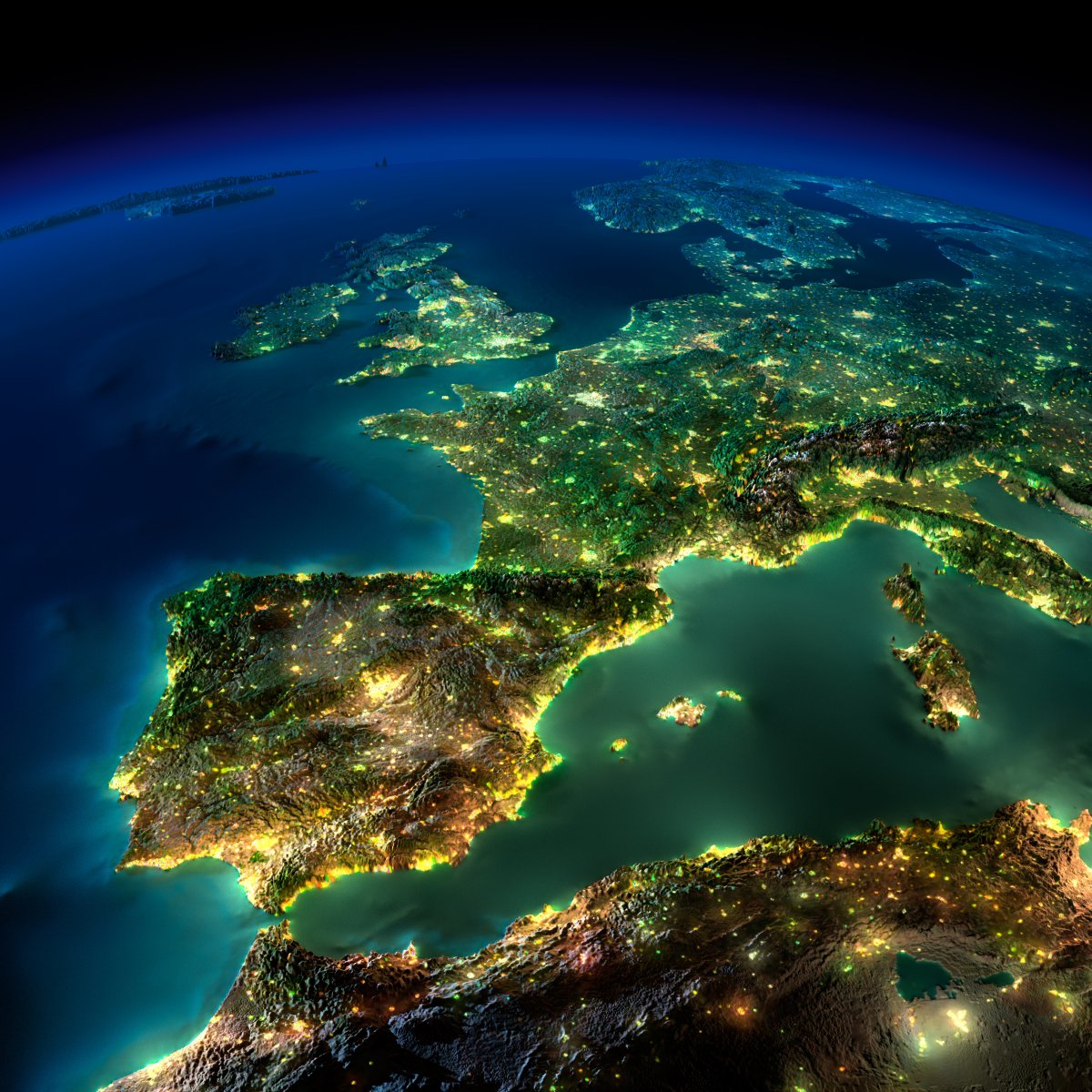
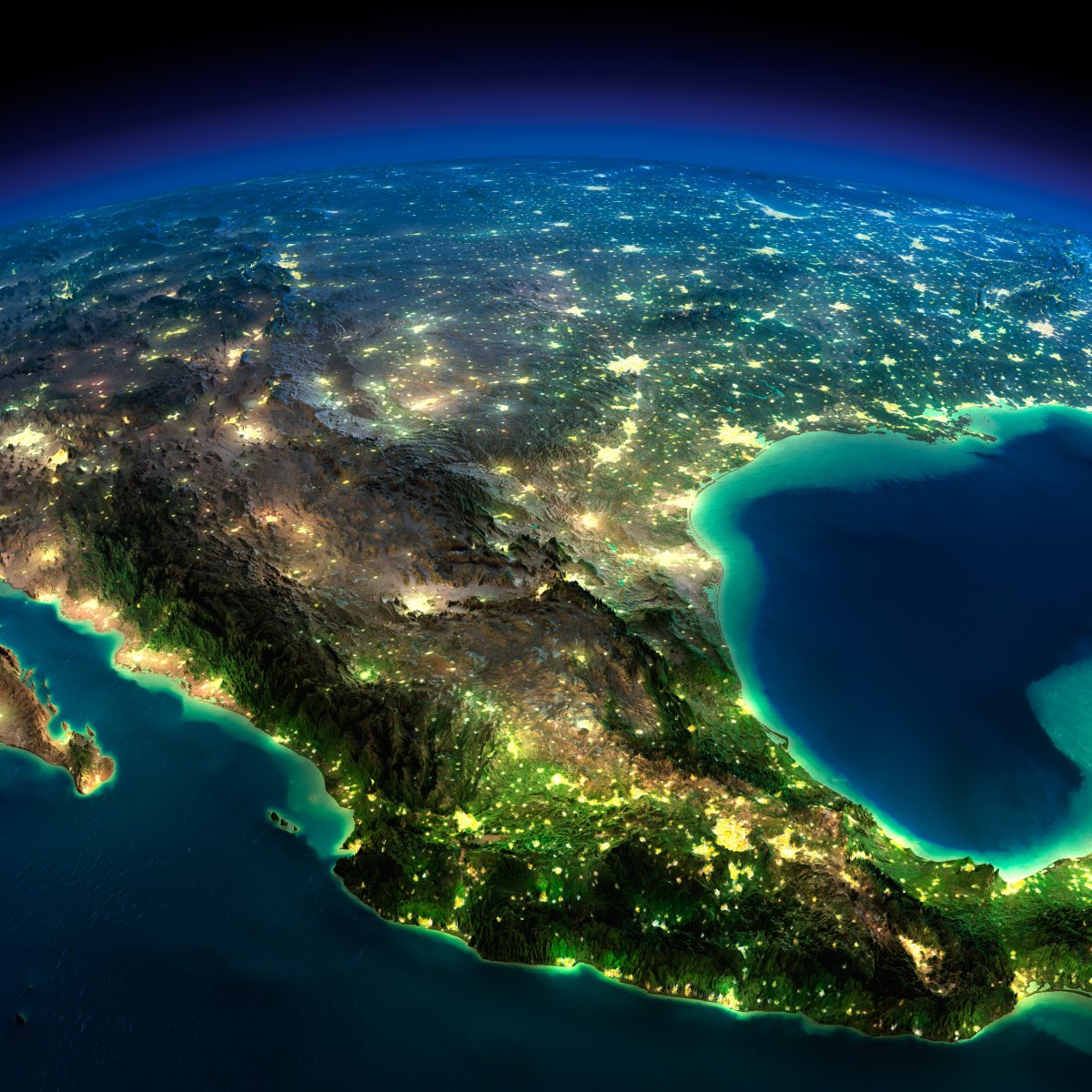
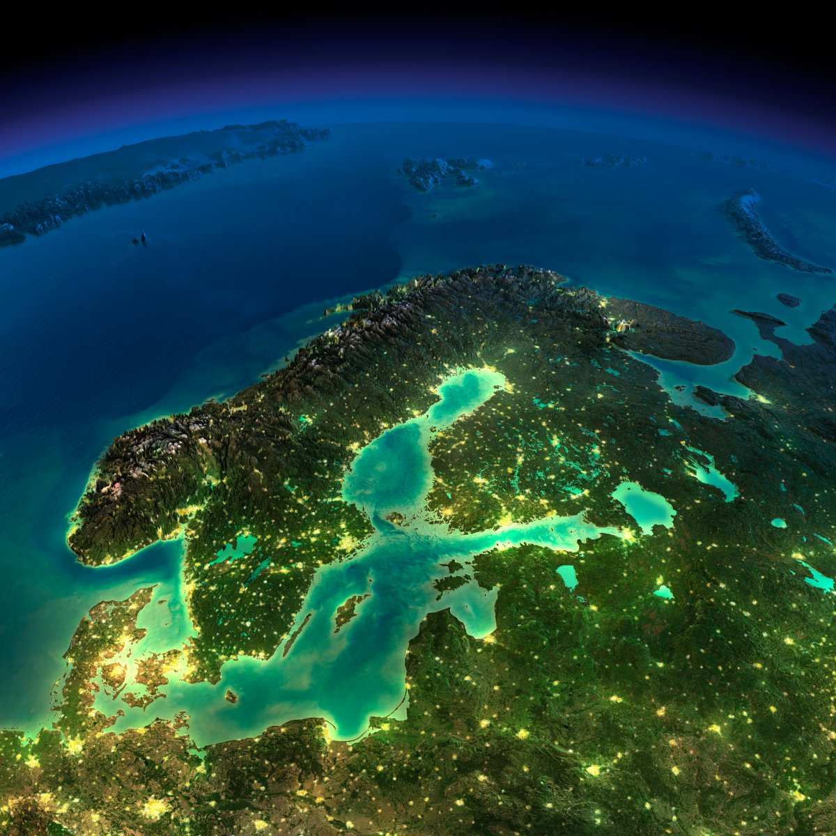
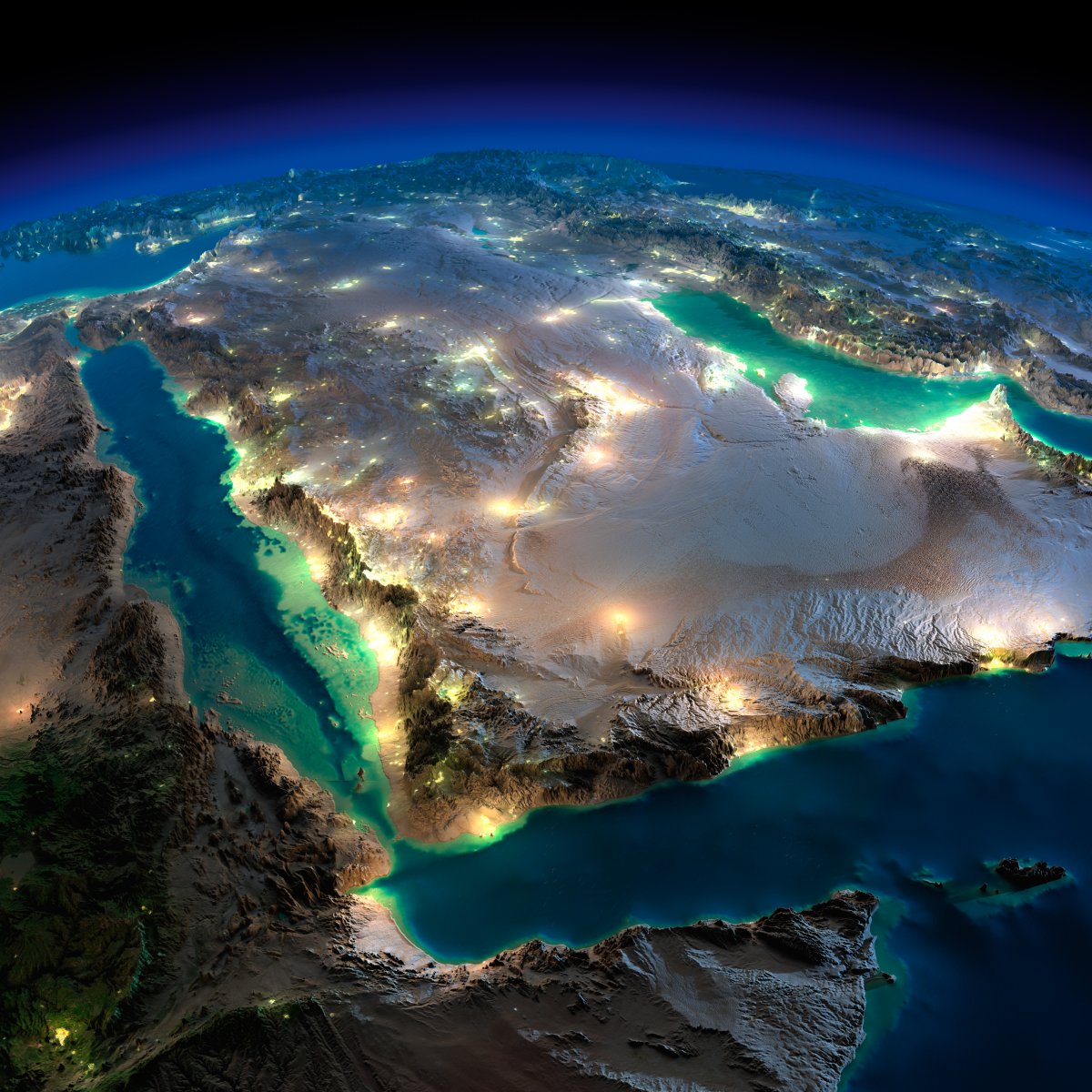
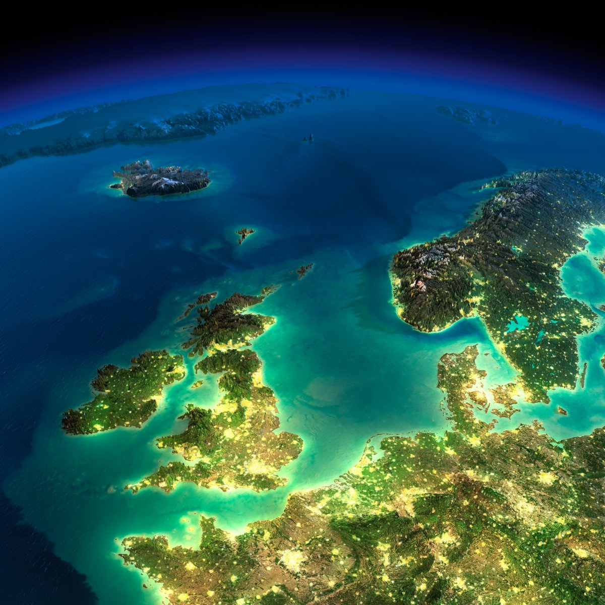
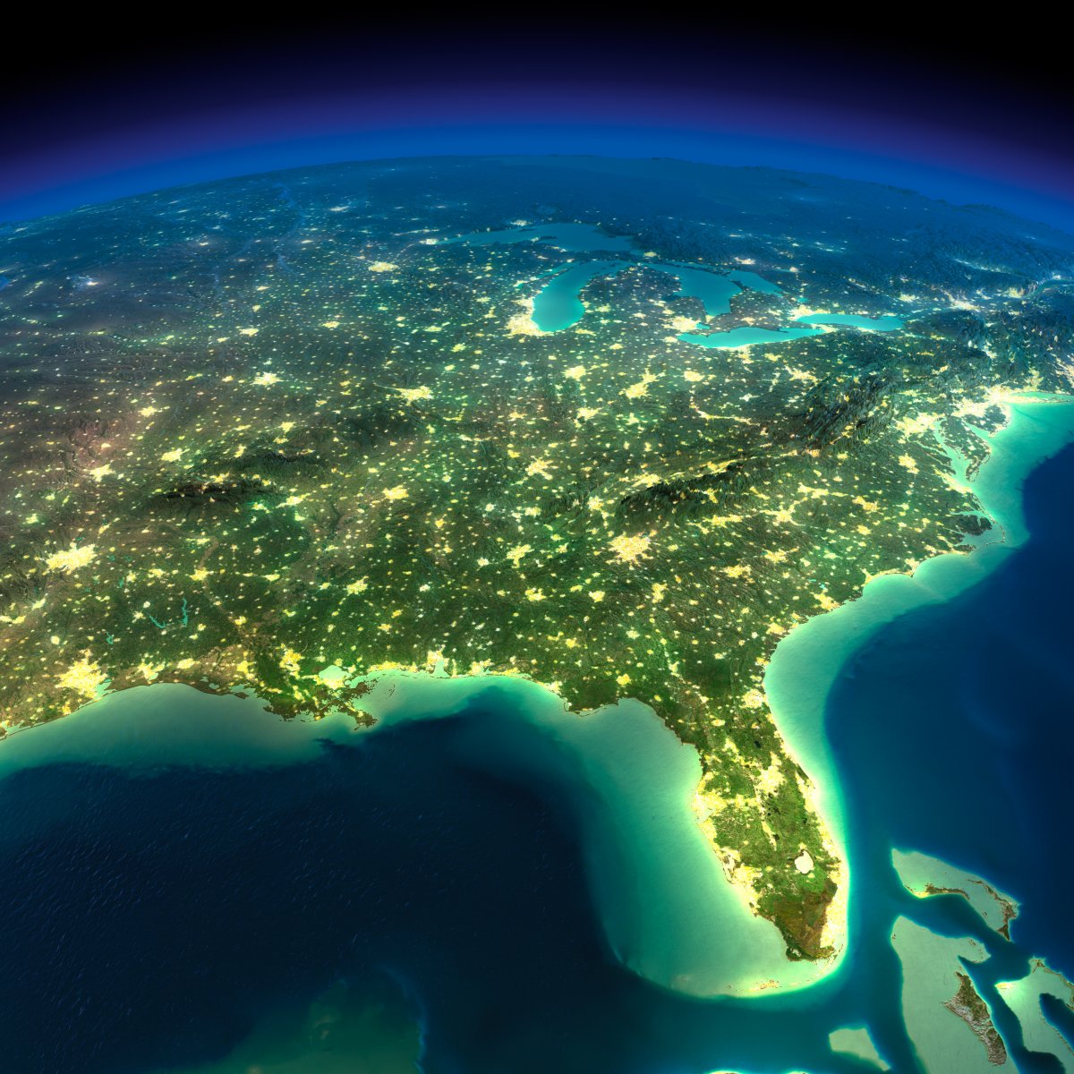
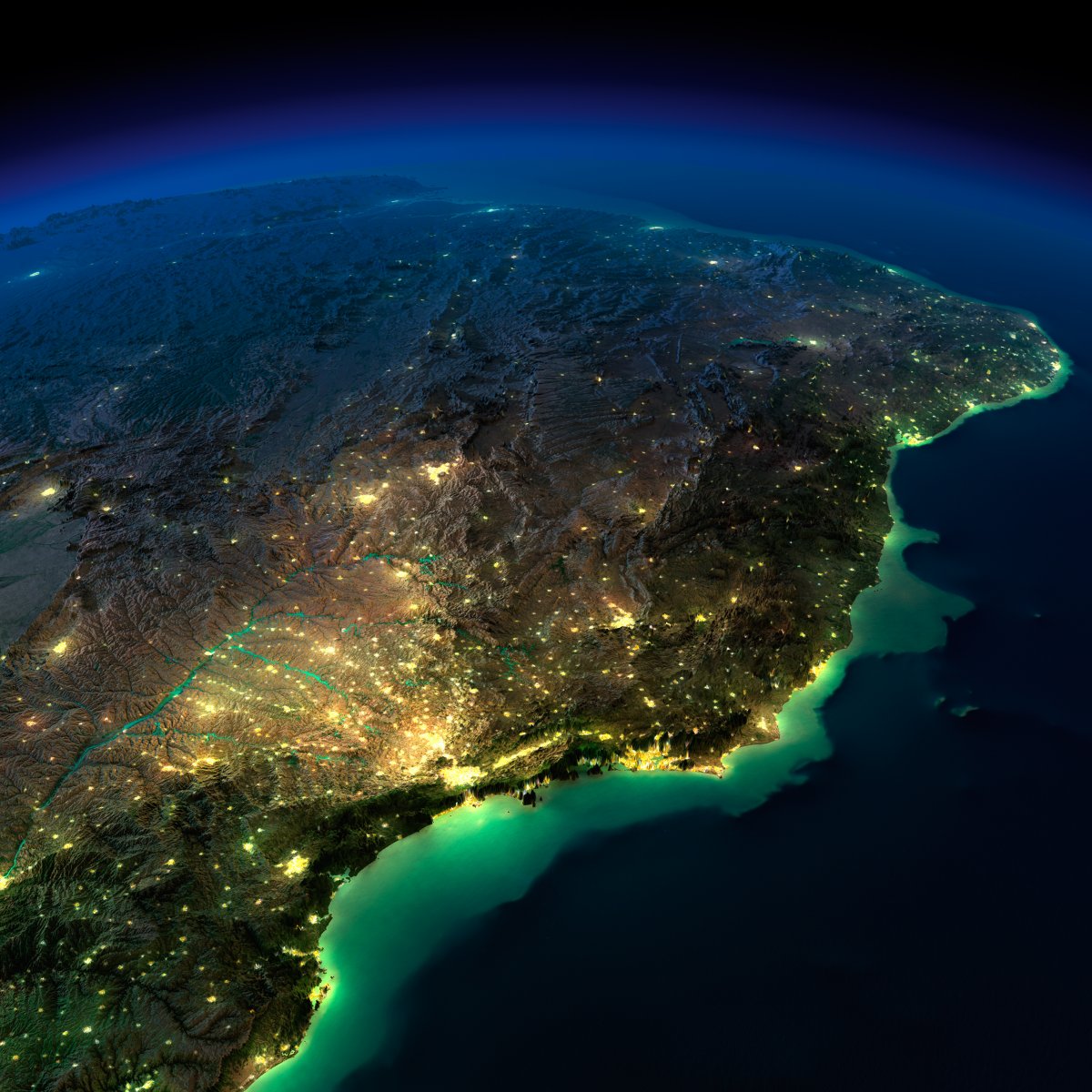
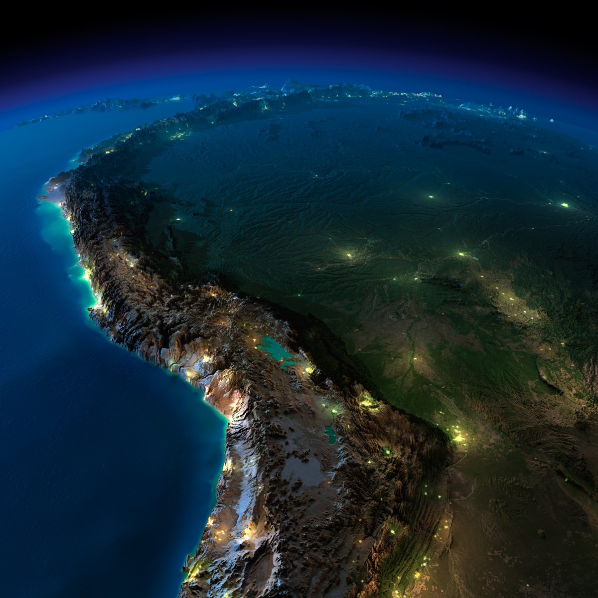
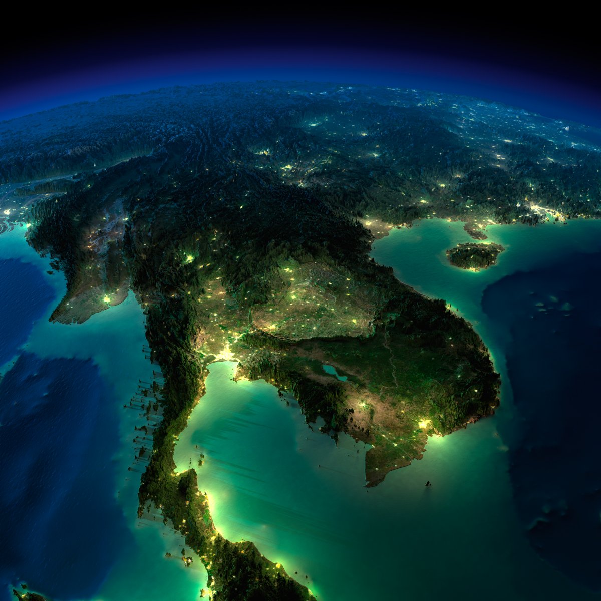
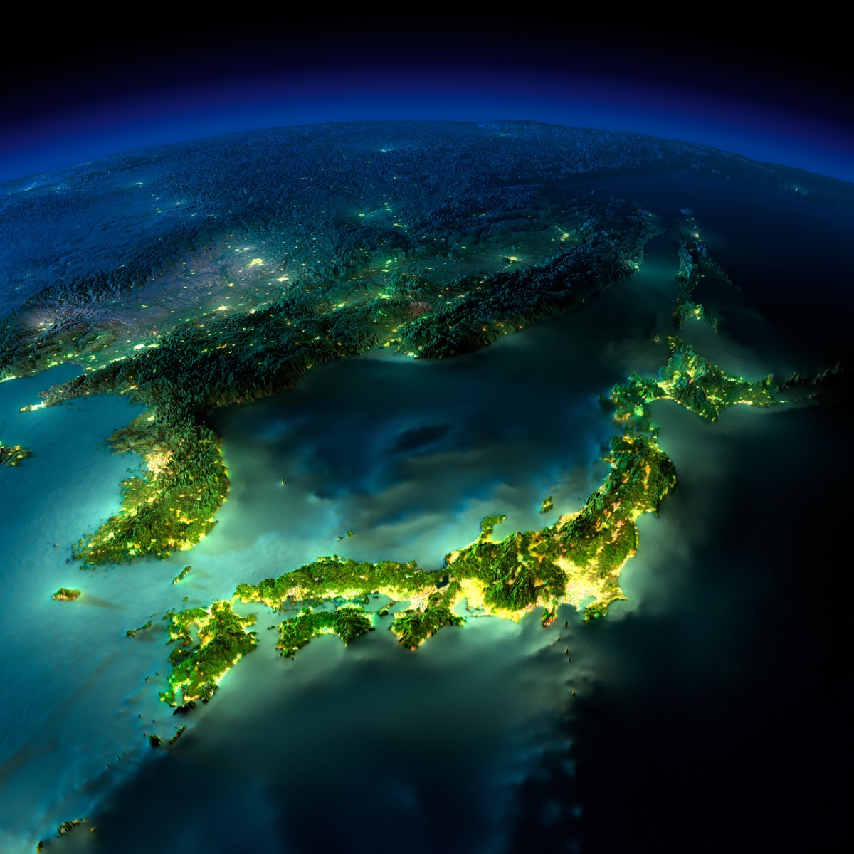
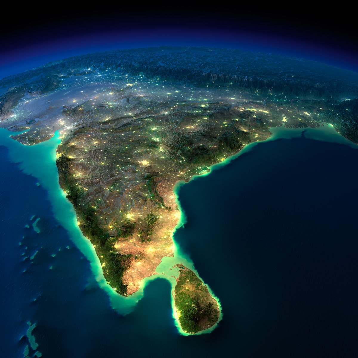
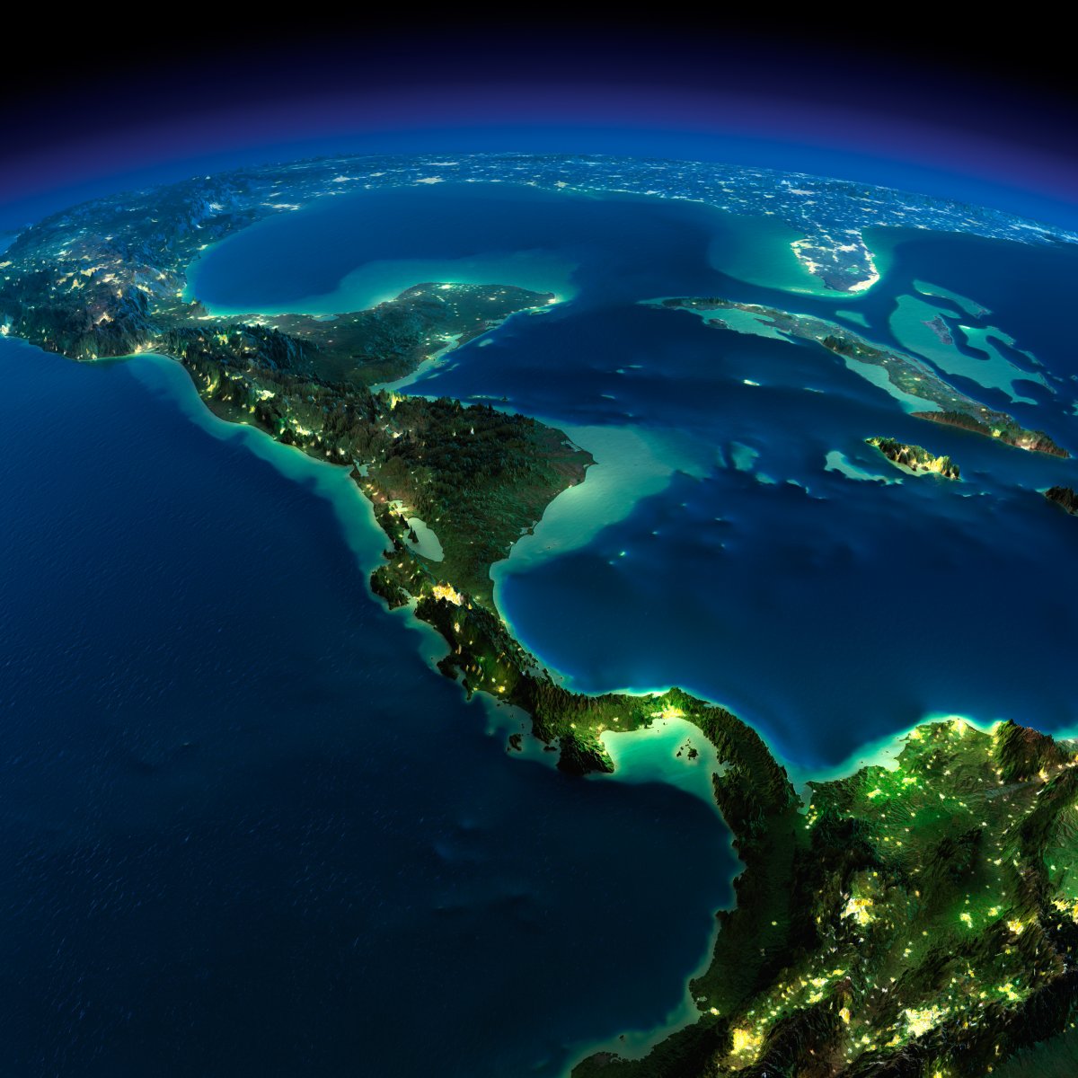
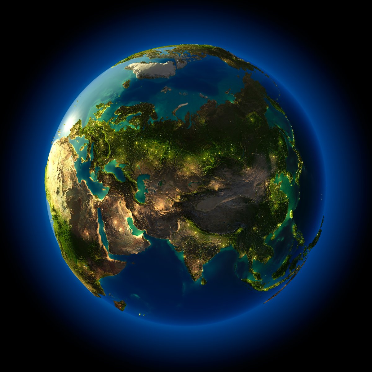
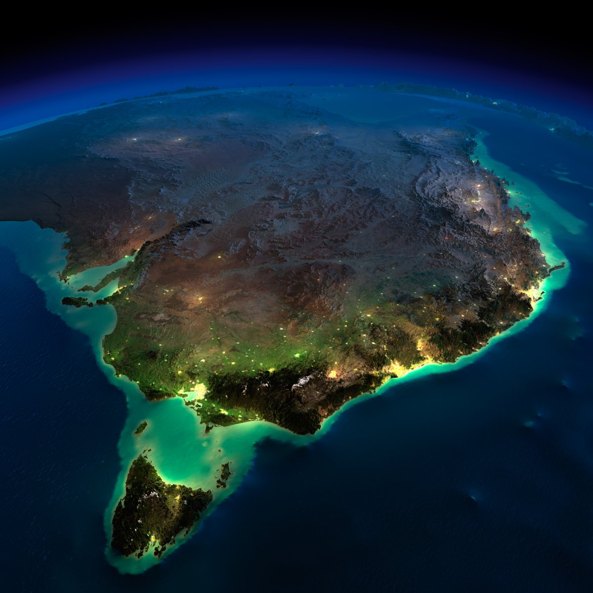
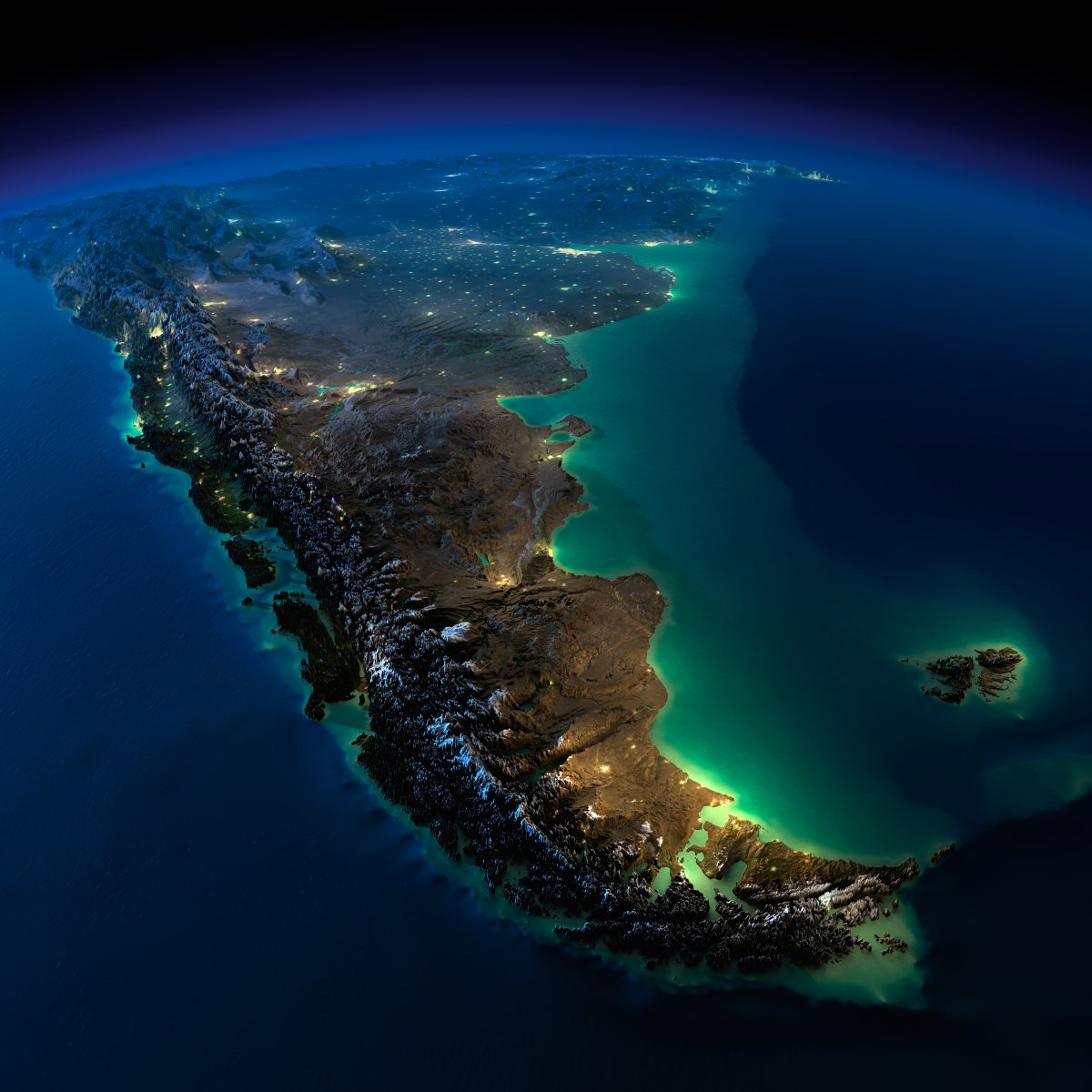
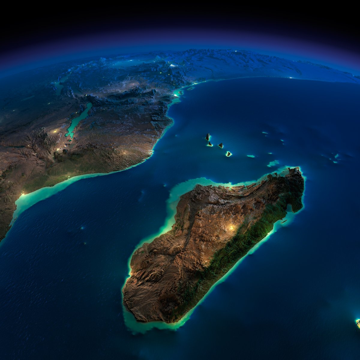
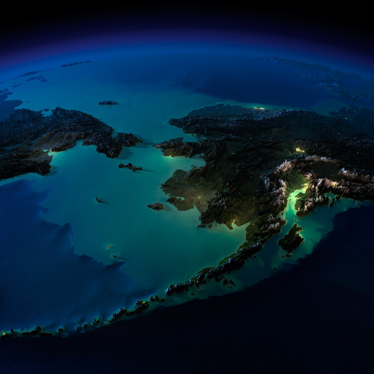
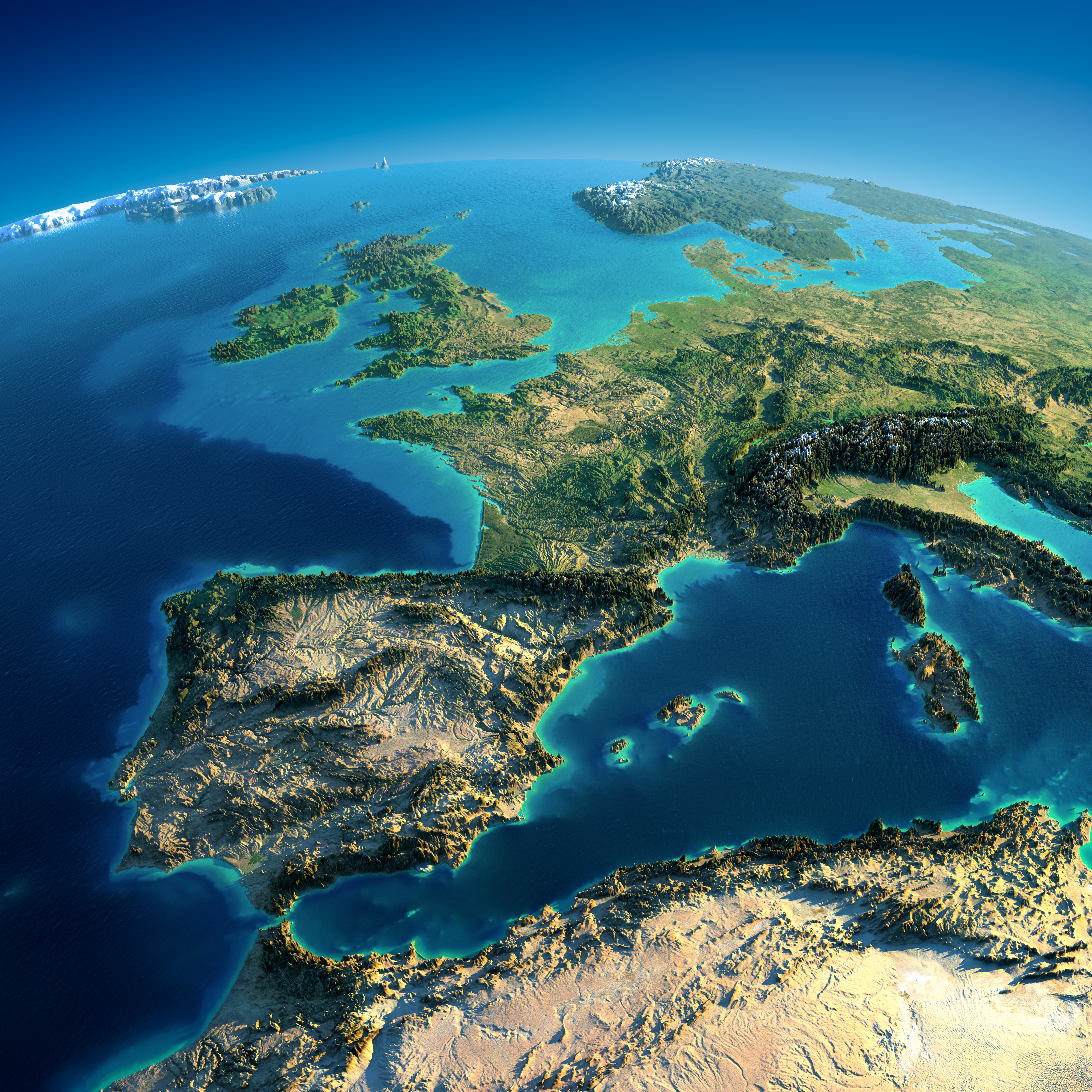
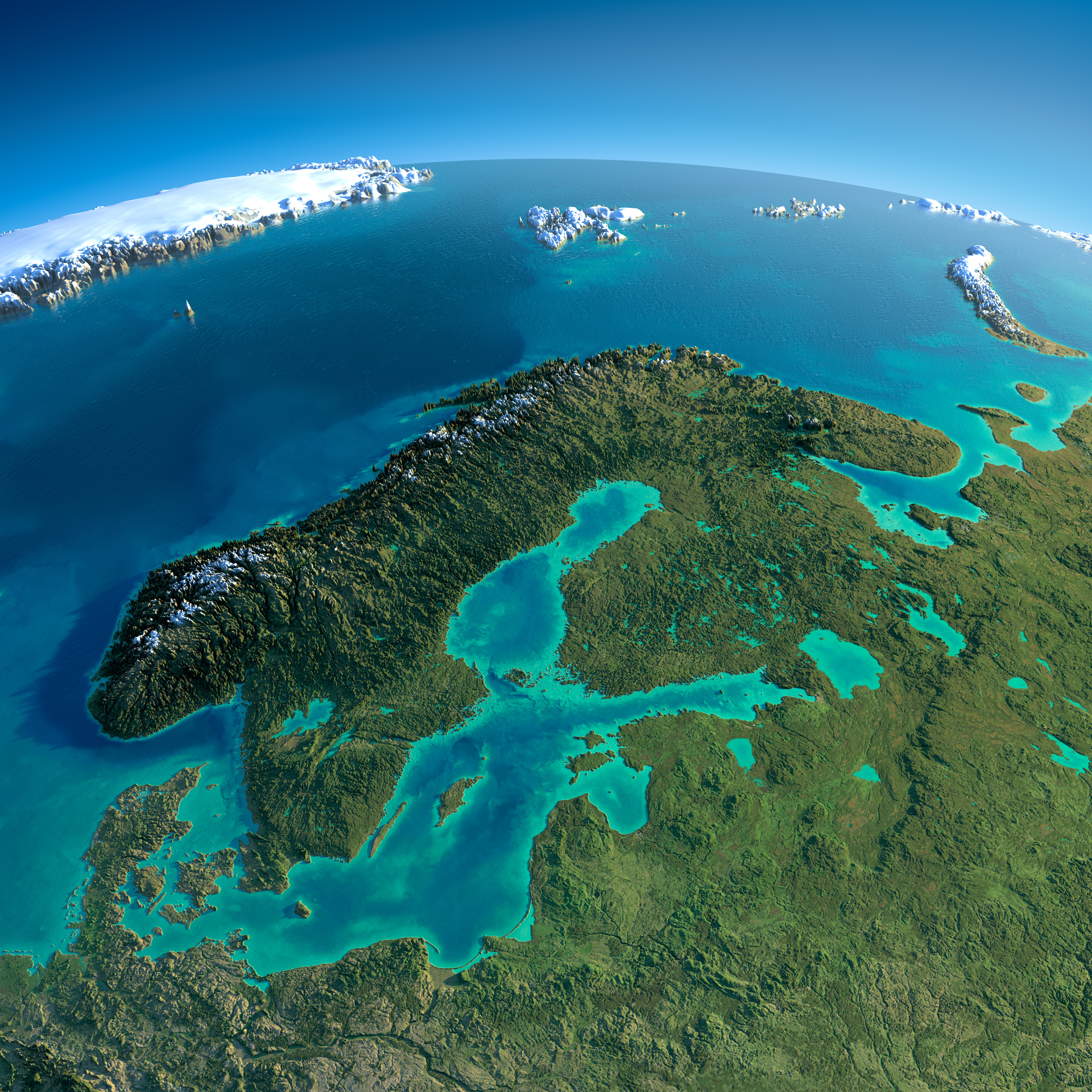
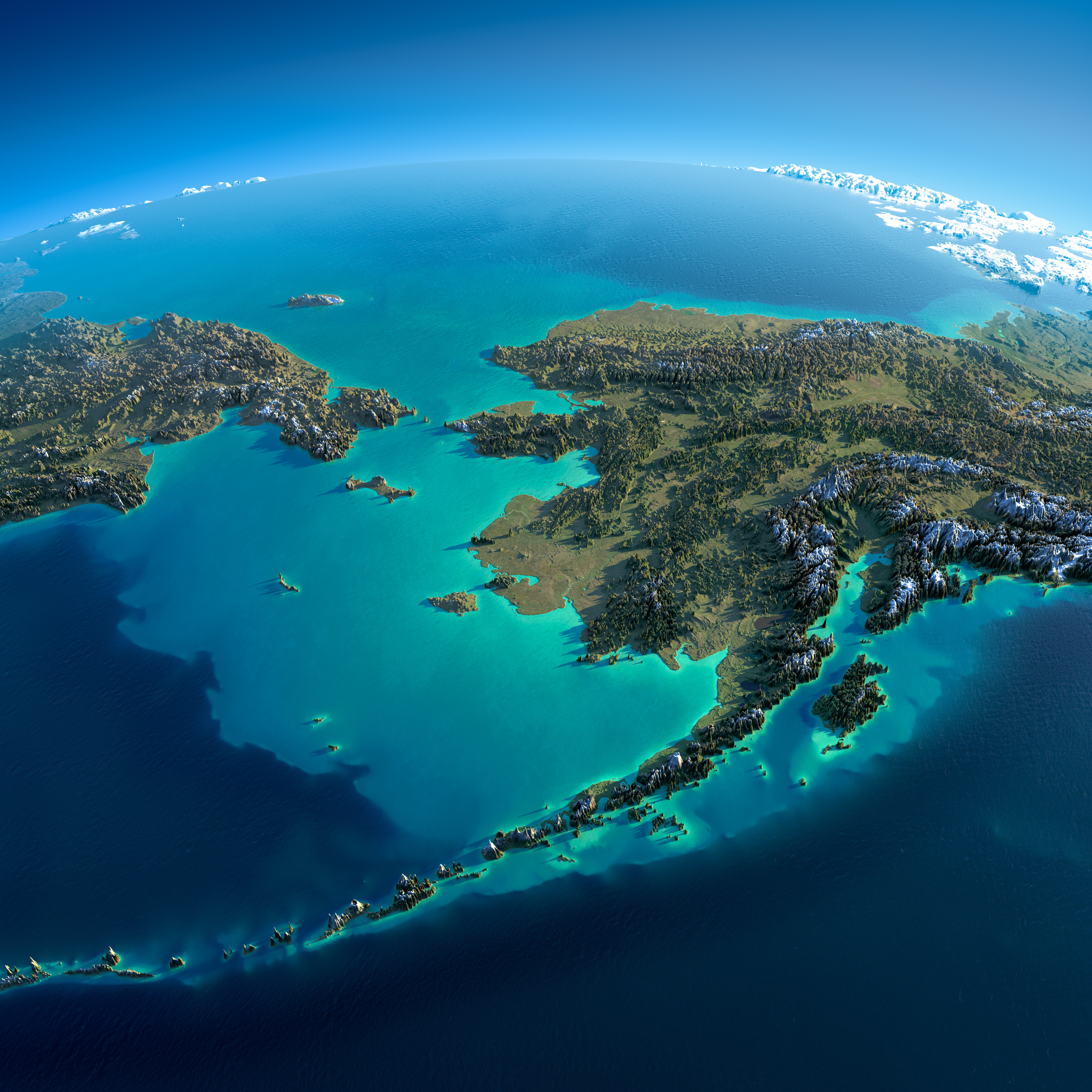
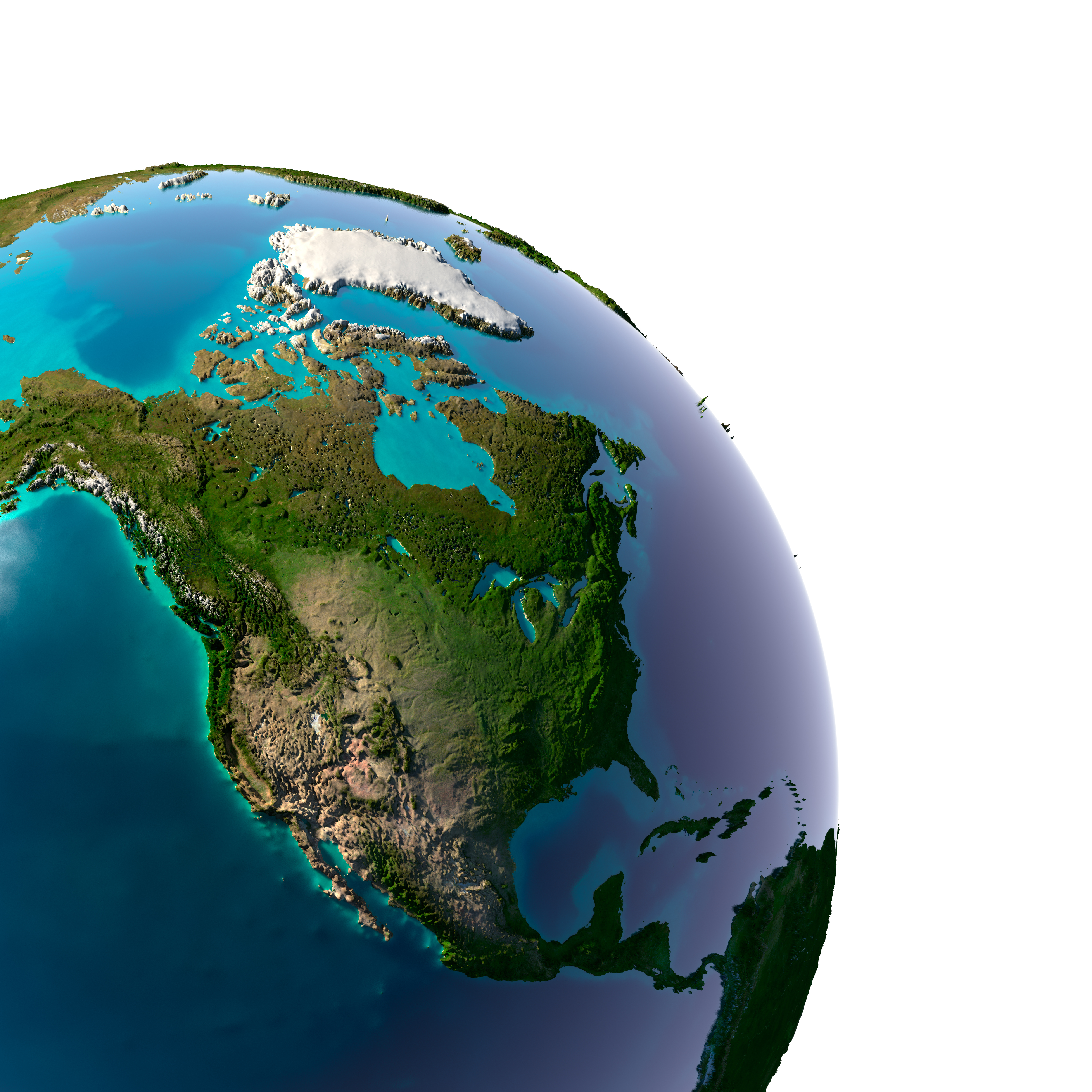
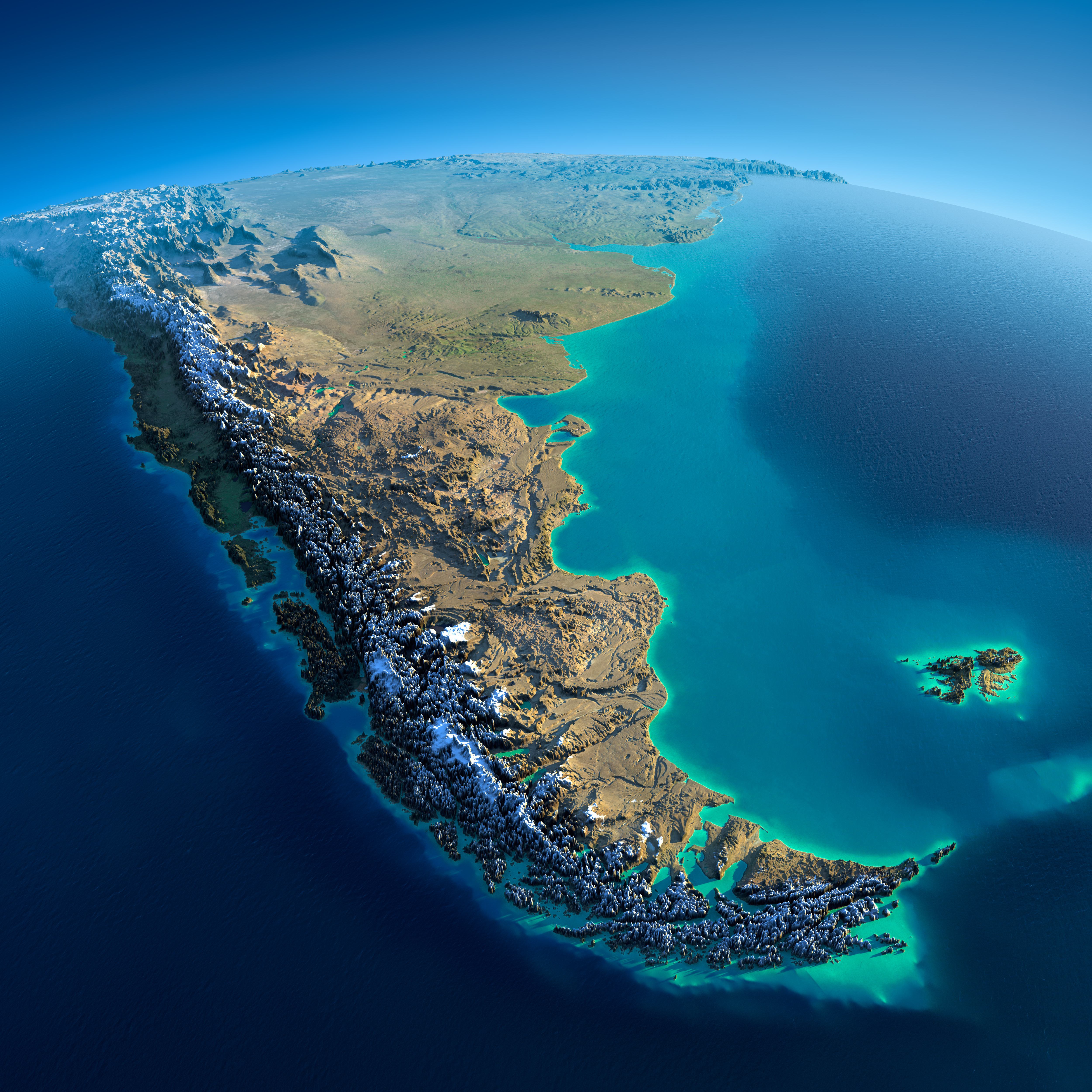
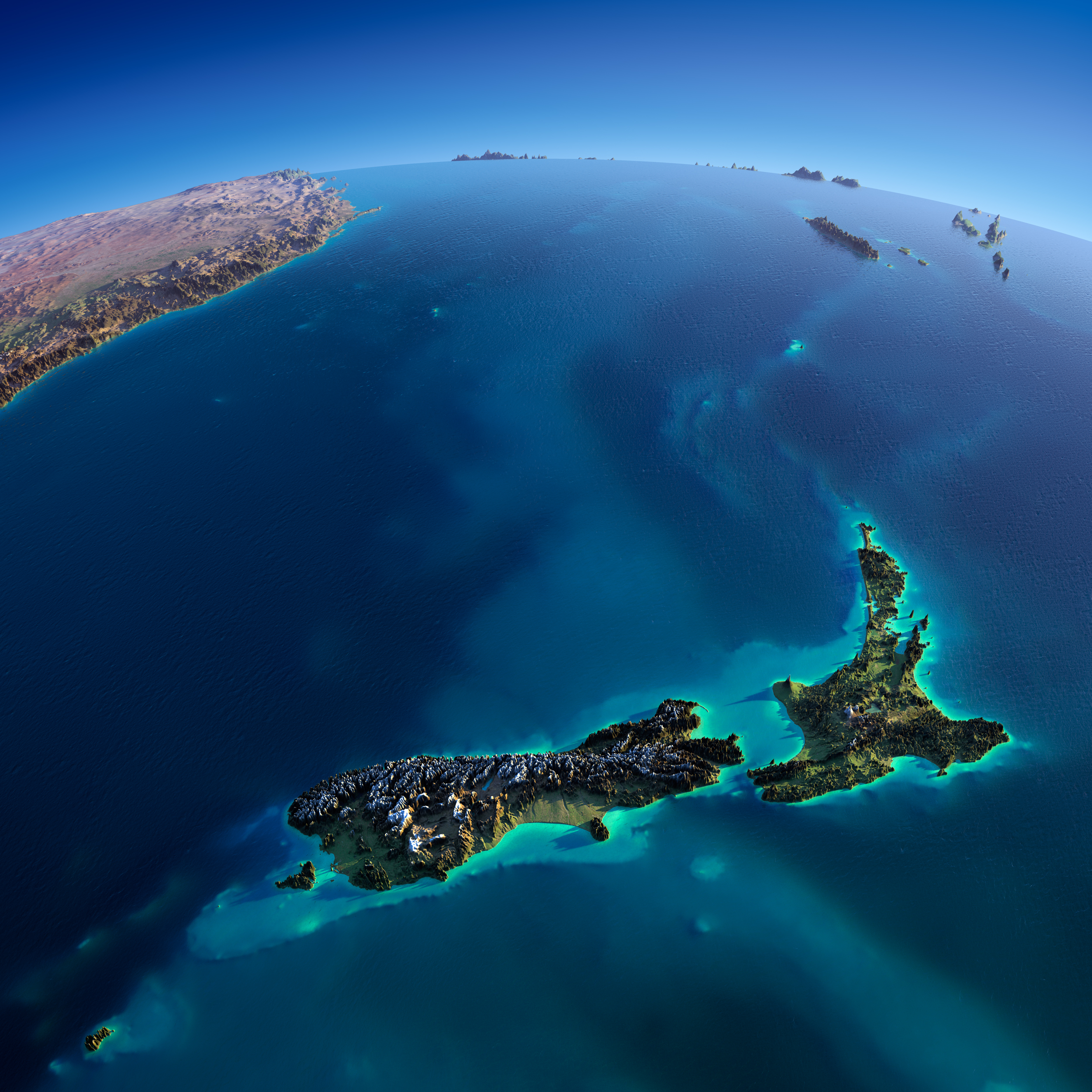
Impossibly detailed views of Earth from space at night and day from Anton Balazh/Gallery
Nothing makes me feel more connected to the rest of the human race than seeing the Earth from space at night.
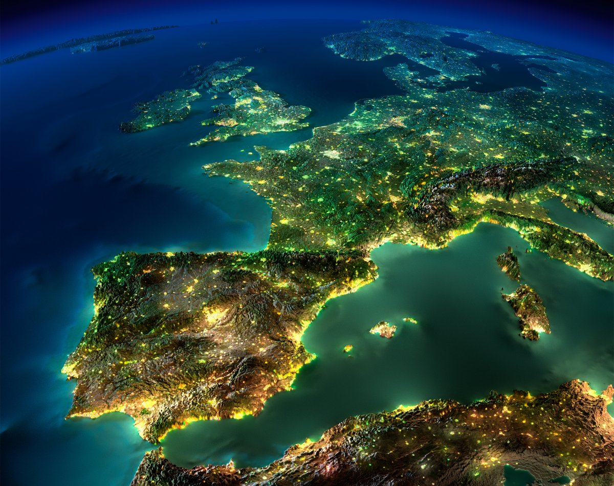
National borders vanish, and rivers of light unite our towns and cities into a single glowing tapestry. Just look at this incredible view of Europe, sparkling with artificial light: cropped western europe earth night relief map
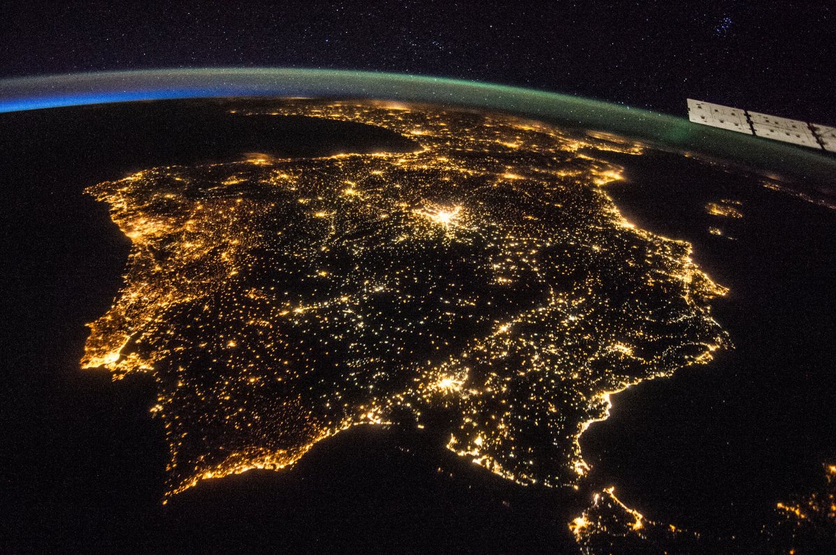
Er, wait a minute. If you’ve seen enough images of Earth from space at night, or you care to look closely enough, this image looks… funny. And yet it has been shared all over the internet as a legitimate NASA photograph. Compare it to this photograph of the Iberian Peninsula, taken by an astronaut aboard the International Space Station in July 2014: spain iberian peninsula europe from space at night NASA As it turns out, the first — and arguably more breathtaking — image is actually a computer rendering created by Russian graphic artist Anton Balazh.
Click to enlarge (attn! traffic! Last 10 images = 8-15 mb each!)
The Middle East and Northeast Africa,
Great Lakes, USA – Canada, North-East
Iberia Peninsula
Mexico,
Northern Europe,
Iberia Peninsula
Iberia Peninsula
The Arabian Peninsula and eastern Africa,
Great Britain, Northern Europa
Florida, East USA
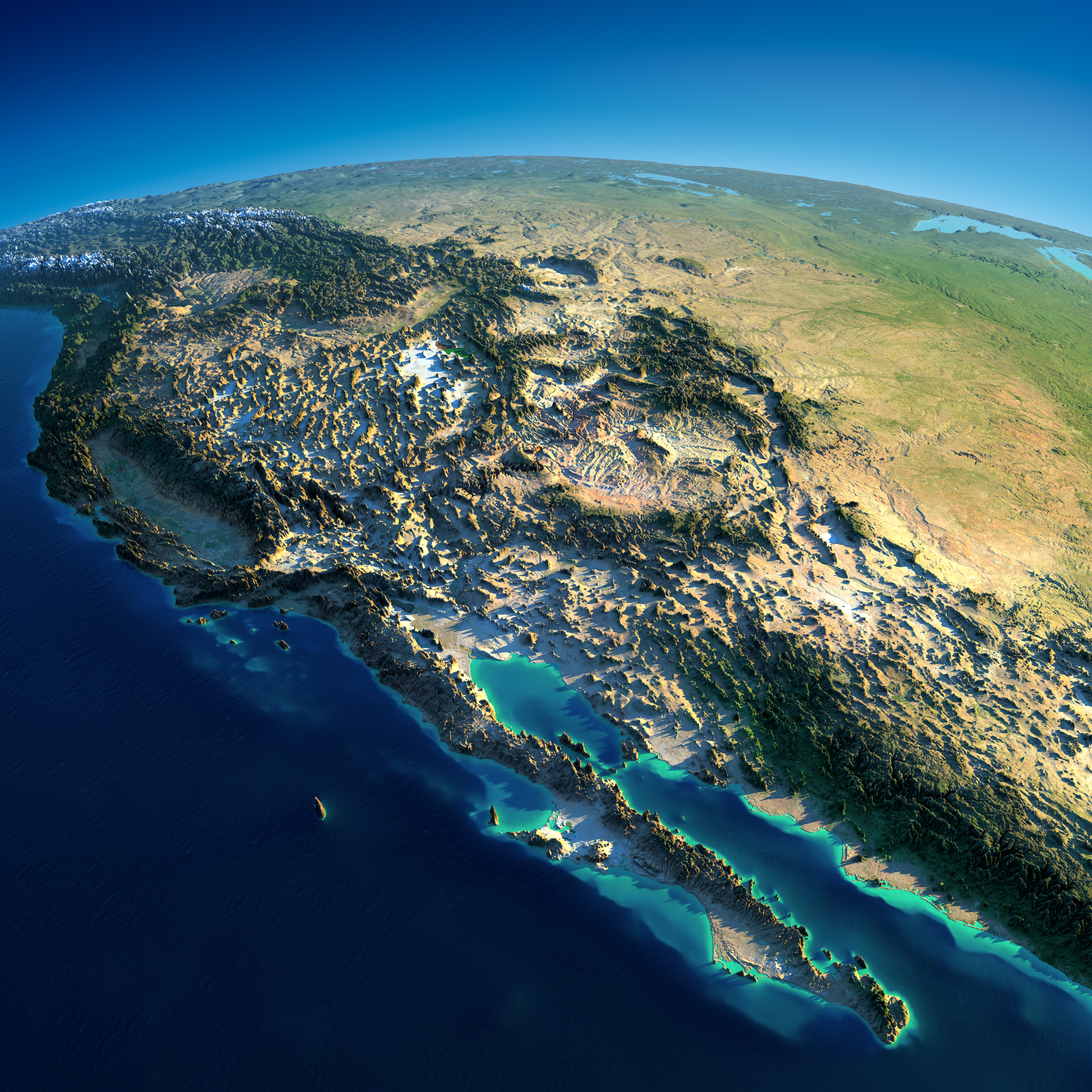
Caliornia Peninsula, USA – Mexico
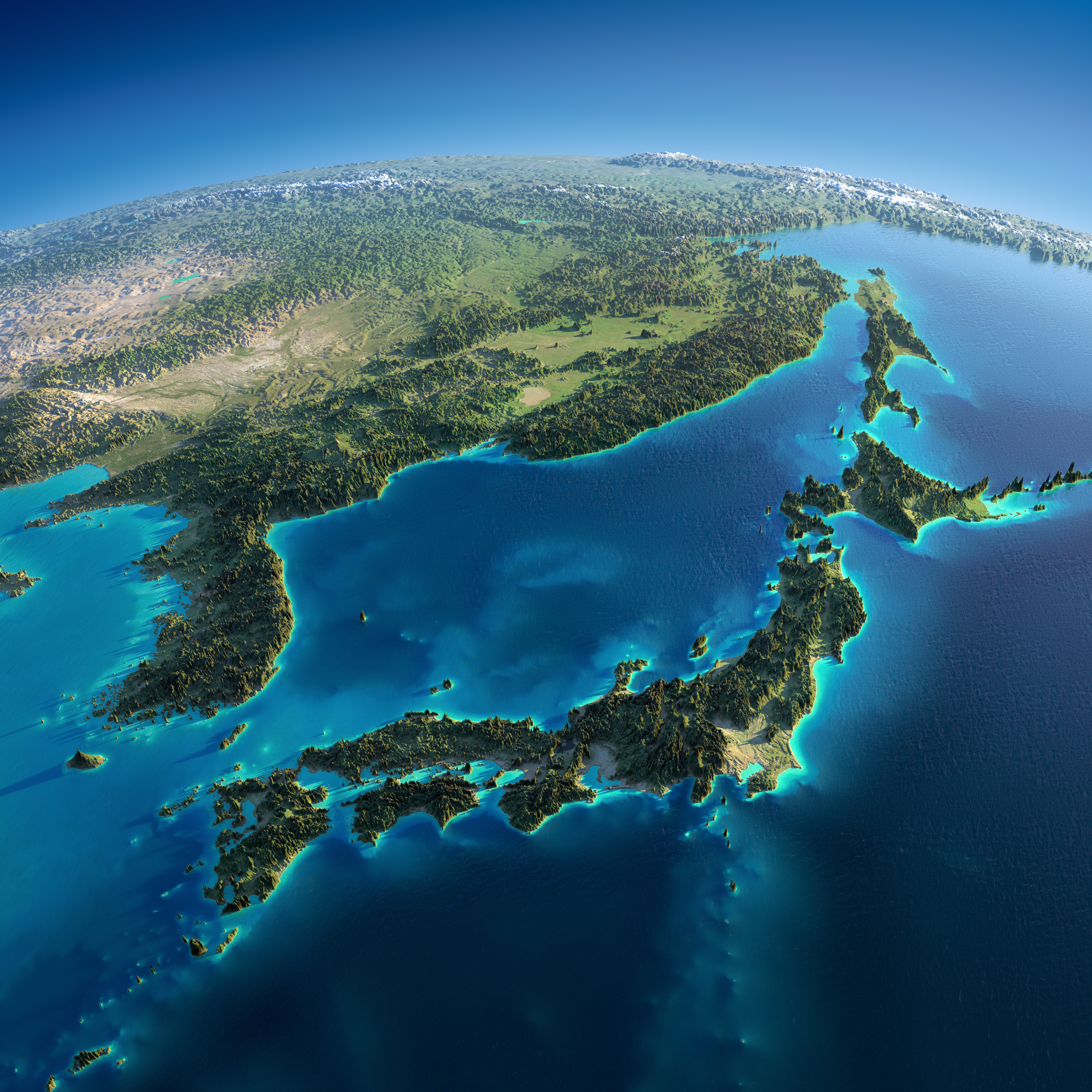
Japan
India and Sri Lanka
Central America
Earth
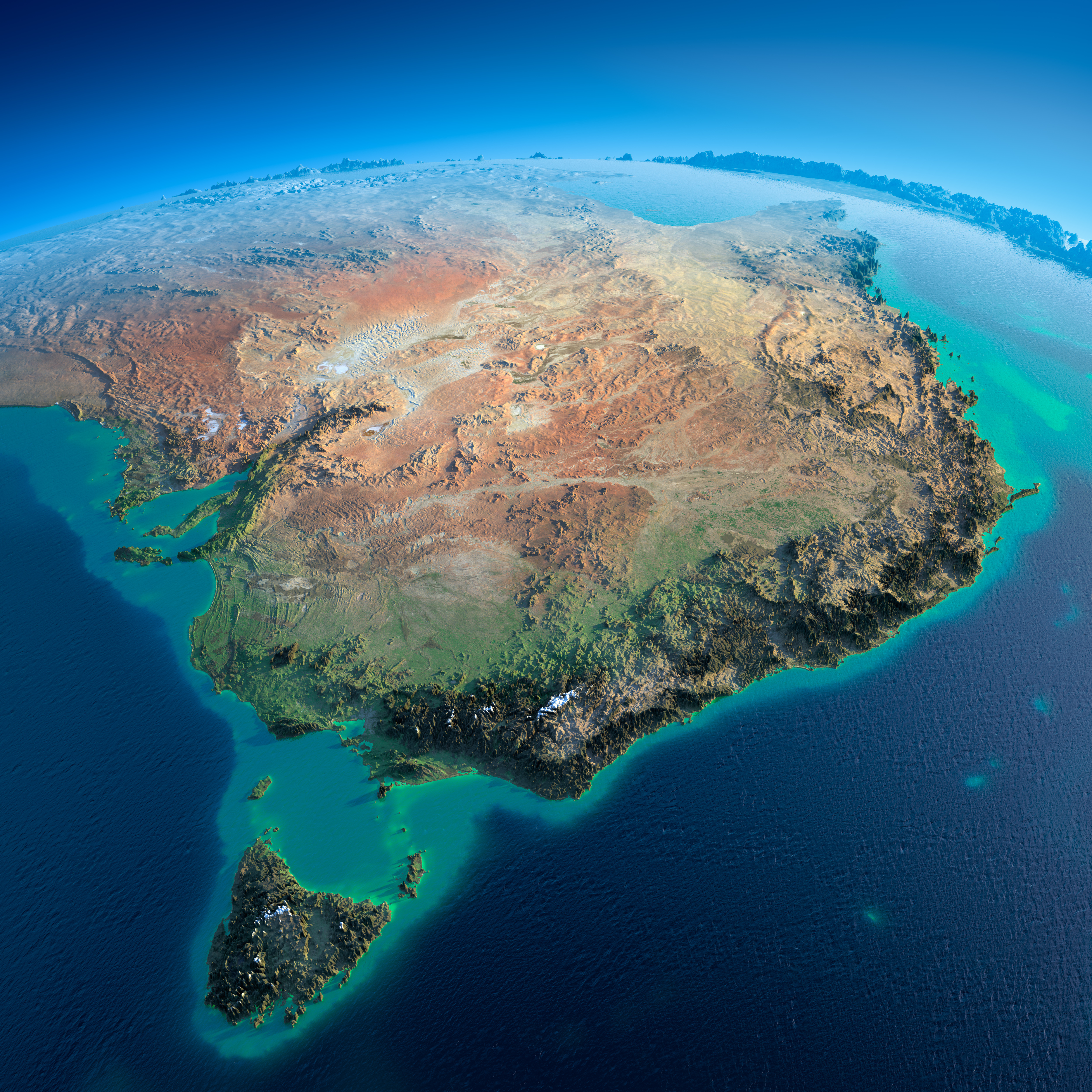
Australia
Patagonia, South America
Alaska
Iberia Peninsula
Norhern Europa
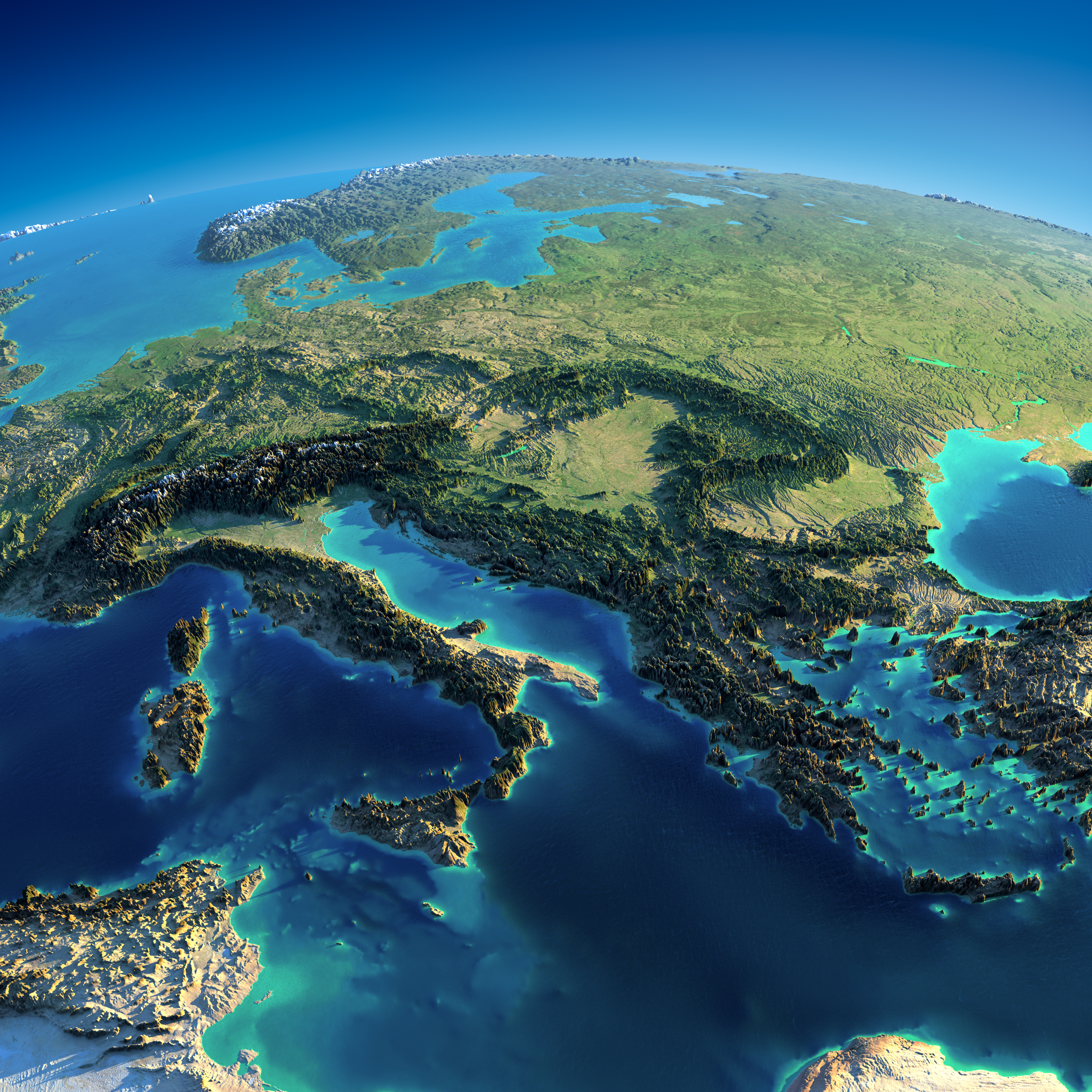
Europa – Italy, Greece
California
Japan
Alaska
South America
New Zealand
Anton Balazh/Shutterstock
Anton Balazh/Gallery
http://unofficialnetworks.com/2014/06/detailed-relief-maps-show-worlds-mountain-ranges
http://www.techinsider.io/earth-night-space-images-relief-maps-2015-11

