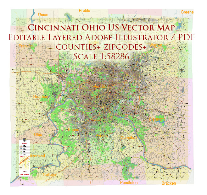
Urban plan Cincinnati Ohio: Digital Cartography
Gallery of Images "Urban plan Cincinnati Ohio ai" (648 pics):


Urban plan Cincinnati Ohio: Digital Cartography for Business and Education
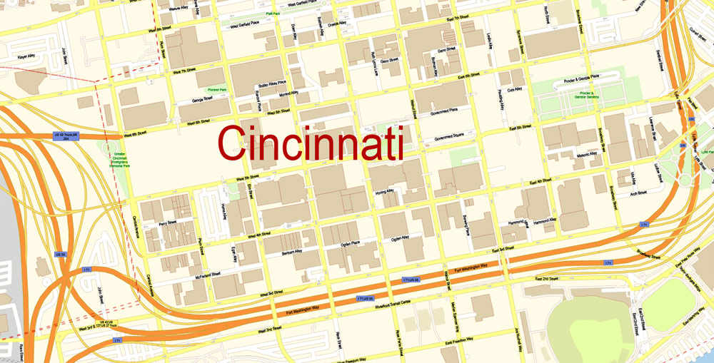
Cincinnati is a city in southwestern Ohio. Like most American cities, the city of Cincinnati itself should be divided with its municipality, borders, and statistical data from a large urban agglomeration, which can be conditionally called "Greater Cincinnati". Greater Cincinnati, located on the rolling hills along the Ohio River, lies on the territory of not only the state of Ohio but also the state of Kentucky. The western suburbs of Cincinnati occupy the territories of the state of Indiana. Formally, the city itself occupies territories north of the Ohio River and has a population of 297 thousand inhabitants. It is the 3rd largest city in the state of Ohio by the number of people.
It is worth noting that in the 50-60s of the last century, the city's population exceeded half a million inhabitants. If we talk about the urban agglomeration (metropolis), then more than 2.1 million people live in it. In particular, Covington and Newport, located on the other side of the Ohio River, are formally separate cities, although in fact, they are districts/suburbs of Cincinnati.
Cincinnati is an economically developed city. It is a world leader in the production of machine tools, soap, and detergents. A significant role in the city's economy is occupied by the production of building materials, chemicals, clothing, cosmetics, electronic equipment, jet engines, and valves. 10 Fortune 500 companies are based in the city at once, including the well-known Procter & Gamble.
The largest educational institutions in the region are the University of Cincinnati (more than 40 thousand students) and the University of Miami (more than 20 thousand students), located in Oxford, a northern suburb of Cincinnati.
Cincinnati was founded in 1788. The original name of the settlement was Losantiville, which meant "the town opposite the mouth of the river". In 1790, General Arthur St. Clair changed the name to the modern "Cincinnati". St. Clair was a member of the "Cincinnati Society", which consisted of former officers of the Continental Army. In turn, the Cincinnati Society was named after the Roman politician and dictator Lucius Quinctius Cincinnatus. Thus, it is this historical figure that lies at the origins of the name of the city.
Having experienced a period of rapid growth in the 19th century, Cincinnati at that time could compete with large cities located on the coast. Being inside the territory of the country, in the early period of its development, the city did not receive such a large European influence that immigrants brought to eastern cities. Therefore, Cincinnati of the early 1800s can be considered a truly "American city". Thanks to the river communication along the Ohio River, immigrants from the east soon flooded into the city, in particular, a large number of immigrants from Germany settled in Cincinnati. By the end of the 20th century, the city's growth slowed significantly and many other Midwestern cities surpassed Cincinnati in terms of the number of residents.
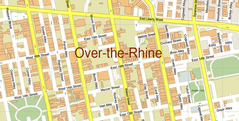
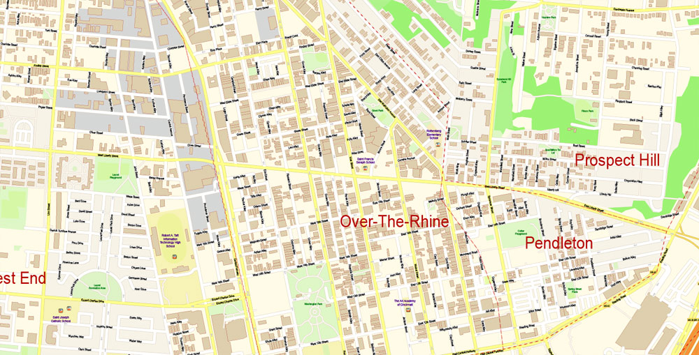
The individuality and charm of antiquity can be felt in the northern part of downtown in the Over-the-Rhine area. The 19th-century buildings in its neighborhoods are well preserved, and the untouched historical part of the district is listed on the U.S. National Register of Historic Places. The Over-the-Rhine area or simply OTR was built up in the 1800s during the period of mass arrival of German immigrants to the city. However, by the end of the 20th century, many neighborhoods of the district had turned into a black ghetto with drug trafficking, crime, and prostitution. Almost 2/3 of the houses of the district remain unoccupied, the remaining part is inhabited mainly by the poor population. Security problems in the area directly affect the reluctance of investors to invest in the development and restoration of the area. At the same time, some restored neighborhoods of the district are well-groomed, safe, and very pretty. Many believe that Over-the-Rhine resembles the Greenwich Village neighborhood in New York.
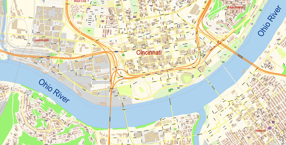
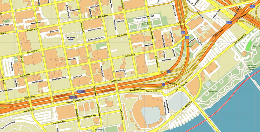
The ancient monuments and historical architecture of Over-the-Rhine are organically combined with a modern world-class business center. Fountain Square can be considered the conditional center of Cincinnati, around which downtown skyscrapers grow. Fountain Square is the most important city square and a venue for concerts, festivals, performances and other events. In winter, an ice rink is opened on the square, it is here that the annual Oktoberfest takes place - the largest outside Germany. Naturally, Fountain Square would be unthinkable without a fountain - Tyler Davidson Fountain. The 13-meter fountain statue made of bronze, metal, and granite was opened back in 1871. In winter, the fountain does not work and is turned on annually in April on the day of the first home game of the Cincinnati Reds, the oldest professional team in America. Now, without a doubt, the fountain is one of the main symbols of the city and the most popular place. The area around Fountain Square is filled with many excellent restaurants, specialty stores, hotels and offices.
Cincinnati has many structures that deserve attention. Among them: Cincinnati Union Terminal Railway Station building; skyscrapers: Scripps Center (143 meters, built-in 1990), PNC Tower (151 meters, 1913), Carew Tower (175 meters, 1931); Procter headquarters towers & Gamble, the Ascent building at Roebling's Bridge, located in Covington. The Carew Tower has an observation deck from which you can explore the city.
The tallest building in Cincinnati is the Great American Tower at Queen City Square. The skyscraper, the construction of which cost more than $ 300 million, has a height of 202 meters. It was erected in 2011.
In the southern part of downtown on the banks of the Ohio River, The Banks project is currently being implemented - an important development project that should give a new economic impetus and beautify the city center. According to this project, between the stadium's Paul Brown Stadium (American football, Cincinnati Bengals team) and Great American Ball Park (baseball, Cincinnati Reds), the territory is being landscaped and new buildings are being erected. Luxury apartments and commercial real estate are planned to be commissioned in 2011. Later it is planned to implement a park coastal zone. In general, The Banks complex is designed to become a jewel in the center of Cincinnati.
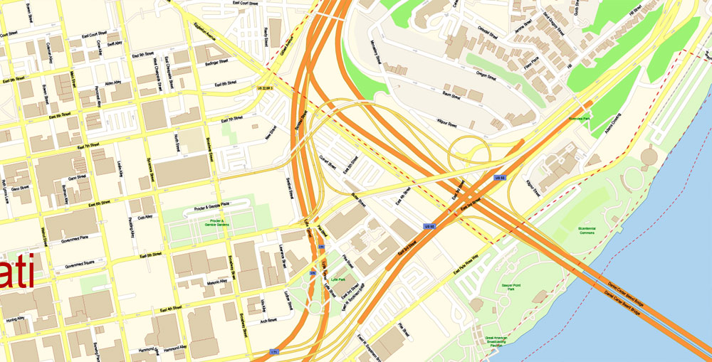
On the other side of the Ohio River, Covington is located directly opposite downtown Cincinnati. You can get there by the 300-meter suspension bridge named after John A. Roebling (John A. Roebling Suspension Bridge). This bridge became the prototype of the world-famous Brooklyn Bridge in New York, designed later by Roebling. Immediately at the foot of the bridge is an area called Roebling Point. This is another place within walking distance from the city center, which is worth visiting for tourists.
Lovers of nightlife, bars and restaurants will be attracted to the Mount Adams area, located on a high hill to the east of downtown. The price of real estate in Mount Adams is one of the most expensive in Cincinnati, and residents of the area have one of the highest per capita incomes in the city. Also in this place is the Cincinnati Art Museum.
In addition to the above interesting places and attractions deserve interest:
Cincinnati Zoo and Botanical Garden
Cincinnati History Museum
Newport on the Levee Multifunctional Entertainment Center
The Aquarium in Newport (Newport Aquarium)
Kings Island Amusement Park (located 35 km northeast of downtown)
Coney Island Amusement Park (suburb of California, 15 km east of downtown on the banks of the Ohio River)
Statistical data
Racial composition:
White - 50.2%
African Americans - 41.4%
Latinos - 3.3%
Mixed races - 2.8%
Asians - 1.8%
Indians - 0.2%
Income and housing:
The average per capita income is $25046
The average cost of a house is $120400
The average cost of renting a home is $636
Unemployment (June 2014) - 6.2%
Residents living below the poverty line - 31.3%
The cost of living rating is 89.8 (100 is the US average).

One of the biggest failures in the history of the city was the failure with the construction of the city subway. Construction was halted in 1924 when inflation after World War II doubled the cost of the project. As a result, the funds that were initially allocated were clearly insufficient to complete the metro. In the following years, repeated attempts were made to revive the project, but all of them did not materialize.
The climate in Cincinnati is characterized as humid continental. Summers are hot and humid with a lot of precipitation in each month. July is the warmest month, the average temperature of July is 24 C. Winters in Cincinnati are usually snowy, the average temperature in January is -1 C. However, several times a year the temperature can drop to -20 C.
Related Images "Urban plan Cincinnati Ohio ai pdf and other formats":
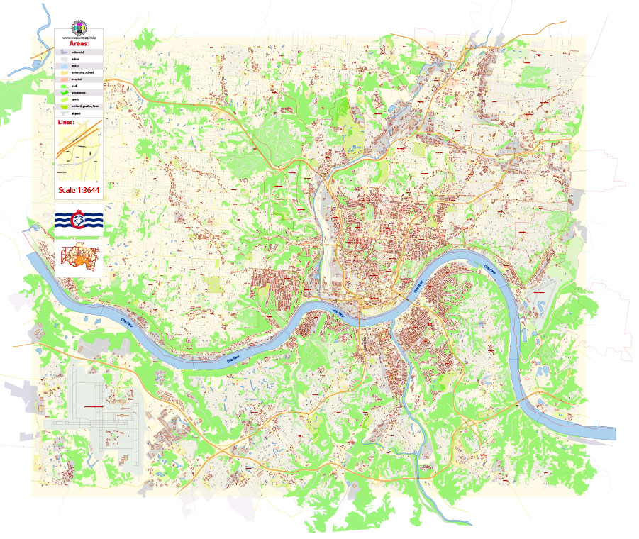
City of Cincinnati: Vector Maps for Design and Printing


Cincinnati Ohio US Digital Cartography


Fully Editable Maps for Tourism, Business and Education


- Urban plan Burlington Vermont
- Urban plan Vilnius Lithuania
- Urban plan Lahore Pakistan PDF
- Urban plan Hamburg PDF
- Urban plan Pforzheim Germany pdf
- Urban plan Las Vegas Nevada 3 10 PDF
- Urban plan Washington Baltimore PDF
- Urban plan Travis County Austin Texas PDF
- Urban plan Duke University Durham North Carolina PDF
- Urban plan Springfield Missouri
- Urban plan Allentown Pennsylvania PDF 4 10
- Urban plan Tomsk
- Urban plan Reno Nevada
- Urban plan Yokohama Japan 13 ai
- Urban plan Liege Belgium pdf
- Urban plan Massachusetts State
- Urban plan Lethbridge Coaldale Fort Macleod Alberta Canada PDF
- Urban plan Rome Italy
- Urban plan Malmo Sweden pdf
- Urban plan Nizhny Novgorod
- Urban plan Kemi Tornio Finland
- Urban plan US Canada Road Mercator
- Urban plan Brisbane Australia 17
- Urban plan Las Vegas Nevada PDF
- Urban plan Sofia Bulgaria ai
- Urban plan Saint Petersburg Russia
- Urban plan Eilat Israel Aqaba Jordan PDF
- Urban plan Bruxelles Brussels Belgium
- Urban plan Washington DC
- Urban plan Italy Relief Admin
- Urban plan Leicester pdf
- Urban plan South Africa Admin AI
- Urban plan Stanford University PDF
- Urban plan Montgomery County Texas PDF
- Urban plan Bremerhaven Germany ai
- Urban plan Hobart Tasmania PDF
- Urban plan Geneva Switzerland 15
- Urban plan Moscow S2 CDR
- Urban plan Minneapolis St Paul Minnesota ai
- Urban plan Athens Greece ai
- Urban plan Salem Oregon PDF
- Urban plan Moscow
- Urban plan Nantucket Marthas Vineyard Massachusetts 17 ai
- Urban plan Palermo Italy
- Urban plan Amiens France PDF
- Urban plan Los Angeles
- Urban plan Cleveland Ohio PDF
- Urban plan Moscow 4
- Urban plan San Diego Tijuana
- Urban plan Minsk Belarus pdf
- Urban plan Birmingham UK
- Urban plan Warsaw Warszawa Poland
- Urban plan Dublin Ireland PDF
- Urban plan San Francisco Oakland California CDR
- Urban plan Caracas Venezuela PDF
- Urban plan Jerusalem Israel Hebrew PDF
- Urban plan Lexington Kentucky
- Urban plan Cherepovets pdf
- Urban plan Turku Finland
- Urban plan Cincinnati Ohio ai
- Urban plan Edinburgh Scotland
- Urban plan Jerusalem Israel
- Urban plan Adelaide Australia 17
- Urban plan Kuala Lumpur PDF
- Urban plan London Greater UK 13
- Urban plan Dallas Texas pdf
- Urban plan Gold Coast
- Urban plan Seattle Washington PDF
- Urban plan Toledo Spain
- Urban plan Barnstable Massachusetts
- Urban plan Minneapolis Saint Paul Minnesota CDR
- Urban plan Gdansk Sopot Gdynia Poland PDF
- Urban plan Geneve Switzerland
- Urban plan Shreveport Bossier PDF
- Urban plan Harlingen Texas 3 10
- Urban plan Jerusalem Israel Hebrew PDF
- Urban plan Spokane
- Urban plan North East Tasmania CDR
- Urban plan Allentown Pennsylvania PDF
- Urban plan Brisbane Australia
- Urban plan Dusseldorf Germany pdf
- Urban plan Reading Pennsylvania
- Urban plan Flags Countries PDF
- Urban plan Manchester New Hampshire
- Urban plan Jakarta Indonesia 16 ai