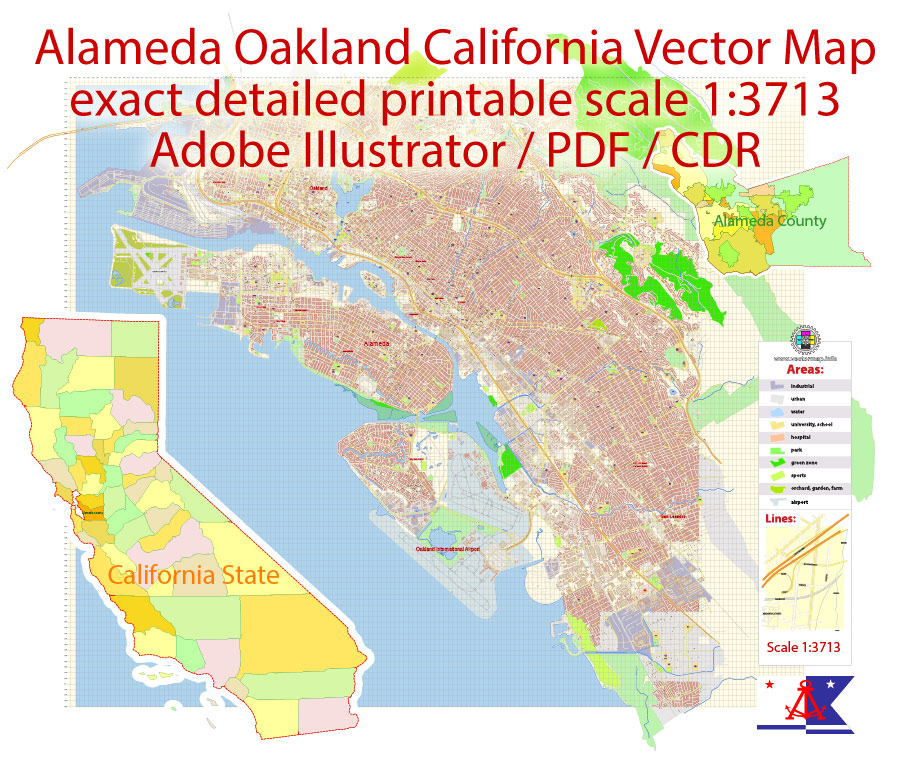
San Francisco + Oakland California US PDF Vector Map exact City Plan editable Adobe PDF Street Map in layers >>>
Urban plan Oakland Berkeley California: Digital Maps
The city of Oakland is located on the territory of the U.S. state of California on the shores of San Francisco Bay. It is home to more than half a million people and Oakland ranks third in the entire San Francisco Bay Area in terms of the number of residents, second only to the city of San Francisco itself, as well as the city of San Jose.
Sixty-six percent of Oakland‘s territory is occupied by a plain that adjoins the bay. The remaining thirty-four percent fall on the surrounding hills. One of the main attractions of the city is Lake Merritt, the largest salt lake in the United States, which is located within the city limits.
The local climate is most similar to the Mediterranean in its main characteristics. It combines the characteristic features of many coastal cities, for example, San Francisco, and cities far from the coast (like San Jose). It is usually cooler in Oakland than in San Jose, but at the same time, it is much warmer than in San Francisco. Despite the fact that the city is not adjacent to the Pacific Ocean, relative to the San Francisco Bay, it is located directly opposite the famous Golden Gate. This location is the reason for frequent fogs in Oakland during the summer months. But usually by noon even the densest fog on city streets completely dissipates and is replaced by a fine sunny day.
In many areas of the city, the crime rate is very high. According to the Federal Bureau of Investigation, as of the twenty-fifth year, Oakland was in first place in the state and tenth place in the country in terms of the number of murders committed among all American cities whose population exceeds two hundred and fifty thousand people.
In the vicinity of the city, there is a studio of the famous punk rock band “Green Day” – on the streets of Oakland you can often find graffiti, one way or another connected with the work of this group. Such musical groups as “Machine Head” and “Persephone’s Bees” live and work in the same city.
One of the attractions of Oakland is Lake Merritt, the largest salt lake in the United States, located within the city limits.
Climate
The climate of Oakland in terms of temperature and seasonal humidity is close to the Mediterranean. It combines the characteristics of coastal cities, such as San Francisco, and remote from the coast, such as San Jose, Oakland is usually warmer than San Francisco and colder than San Jose. Although it is not directly adjacent to the Pacific Ocean, the city’s location relative to San Francisco Bay, directly opposite the Golden Gate Strait, is the cause of heavy sea fog in summer.
In this city in the San Francisco Bay Area, creative life does not cease for a moment
Oakland is a sunny neighbor of San Francisco, a bright modern city proud of its culture and history. Here, wherever you look, there will be art everywhere: from thousands of museums and galleries to streets decorated with frescoes. Gastronomic culture is represented by both big names of chefs and interesting local establishments. In Oakland, you will always be close to nature: you can admire the view of the bay or go to one of the many regional parks to the east of the city. Oakland International Airport (OAK) connects the city with the rest of the world; From here, San Francisco is easily accessible by car, ferry or electric train of the BART (Bay Area Rapid Transit) transport system.
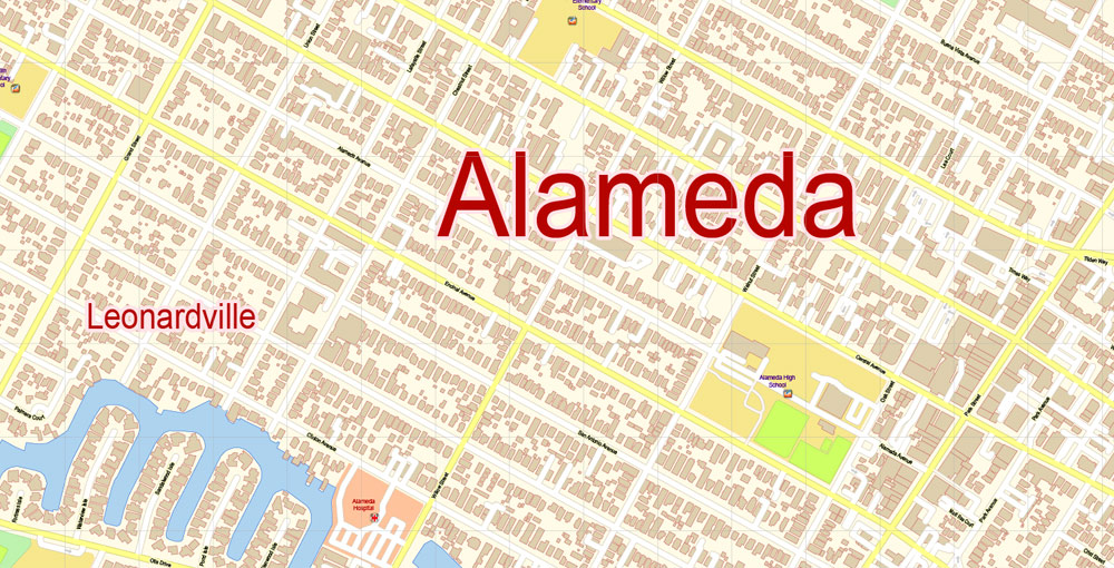
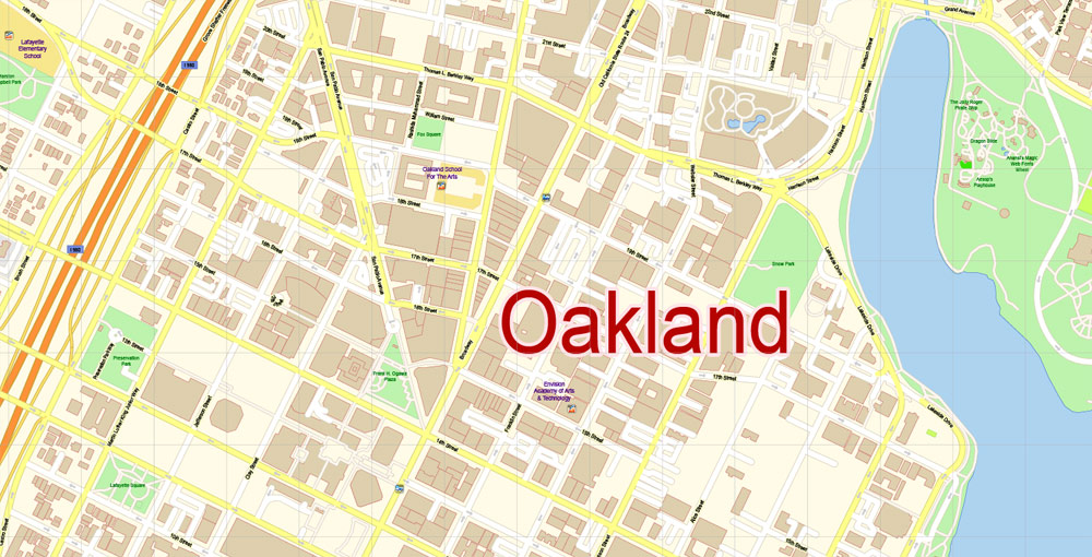
Oakland (California) is the county seat of Alameda. The city is located on the coast of San Francisco Bay and covers an area of 202 square kilometers. It was once just a small working-class suburb of San Francisco, but as soon as Oakland became the terminus of the main West Coast Railroad, it began to grow and develop.
A couple of blocks from Old Oakland is a Victorian street. It is located in the northern part of the city. To the east is a hill with a wonderful view of San Francisco Bay. A Mormon temple with four white granite towers was also built there.
And in the 19th century, Oakland (California) was chosen for life by Jack London. In memory of this, there is a museum in the city, which stores photos of the writer and some items directly related to his life and work. Also, one square on the embankment is named in honor of Jack London. It is worth noting that it is quite popular with tourists also due to a large number of restaurants, shops, and pleasure boats located there.
Oakland (California) is located on a plain and is rich in natural attractions, which include:
Middle Harbor Shoreline Park, located on the shore of the bay. Here you can sit and admire the water.
Joaquin Millet Park, located right in the center of the city. Here you can wander along the many paths lost among the tall trees.
Leon Heights Park.
Anthony Chabot Regional Park with a wonderful lake.
Lake Merritt, located in the city and bearing the title of the largest salt lake in the United States of America.
Other small parks and squares.
In all these places, you can not only take a walk and enjoy the fresh air, sit on benches and admire the view, but also get acquainted with the local vegetation, some of which are several hundred years old.
Related Images “Urban plan Oakland Berkeley California”:


 Author: Kirill Shrayber, Ph.D.