Editable Vector Maps of Plano, Texas
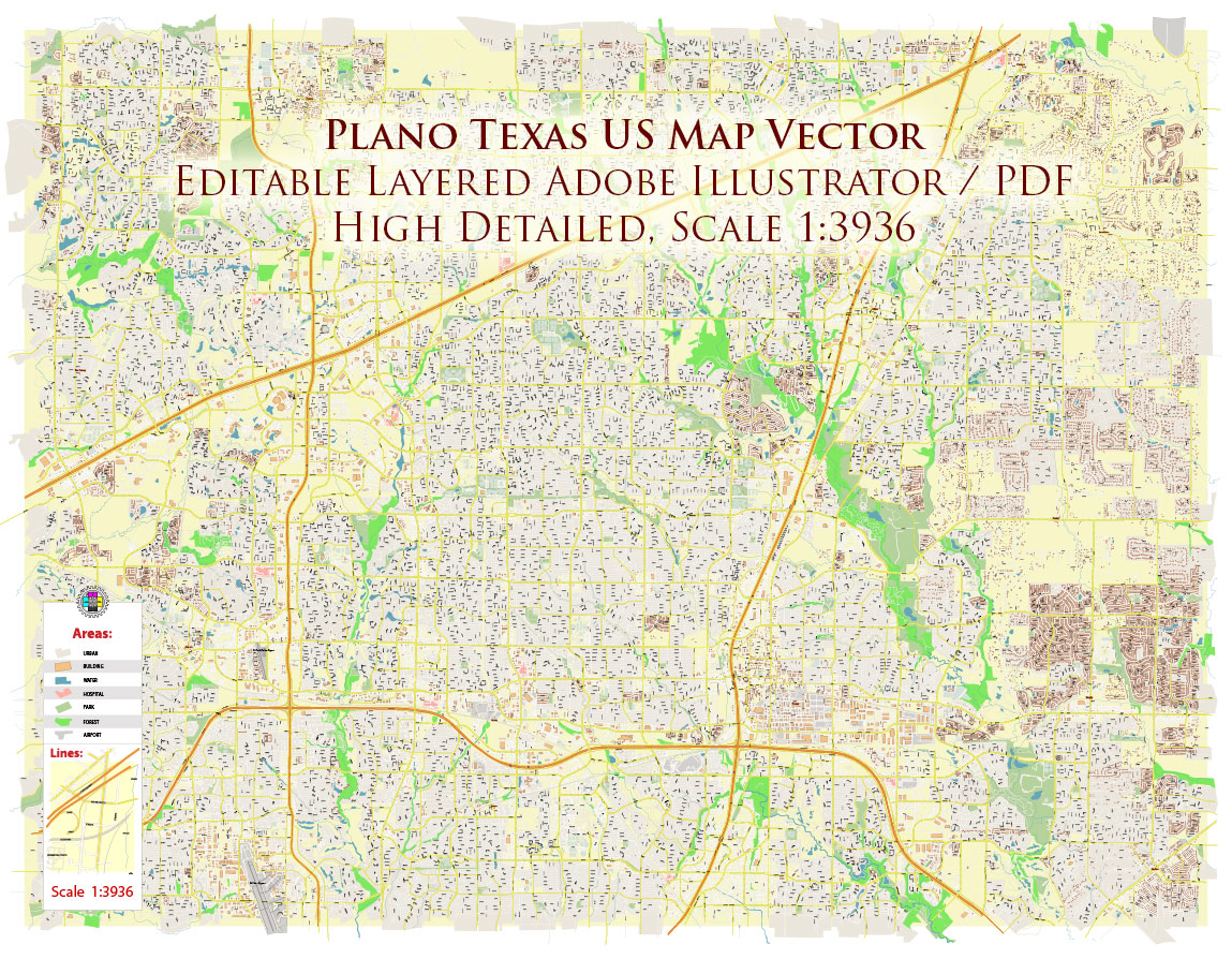
Professional editable vector map of Plano, Texas available in Adobe Illustrator and layered PDF formats for graphic design, publishing, architecture, urban planning, logistics, and commercial media projects.This Plano, Texas city map is prepared as a detailed street plan with editable vector layers. The map is supplied in editable vector formats suitable for Adobe Illustrator, PDF-based workflows, print production, presentations, publishing, and large-format design projects.
Plano is one of the principal urban centers of the Dallas–Fort Worth metropolitan region, serving as a major hub for corporate headquarters, technology, finance, retail, and upscale residential development in North Texas. The city is closely connected with the regional road network, including U.S. Route 75 (Central Expressway), President George Bush Turnpike, Dallas North Tollway, Sam Rayburn Tollway, State Highway 121, Preston Road, Parker Road, and other important transport corridors. Key local landmarks and urban zones include Legacy West, The Shops at Legacy, Granite Park business district, major corporate campuses, Downtown Plano, DART transit connections, and surrounding residential, commercial, and mixed-use districts.
What this Plano, Texas vector map is useful for
- city map posters and wall maps
- tourism and visitor information design
- real estate and development presentations
- transportation and logistics schemes
- editorial, publishing, and media graphics
- architectural and urban planning backgrounds
- commercial print and web design projects
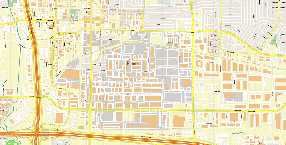
Map features
- editable vector format
- layered Adobe Illustrator structure
- detailed street and road network
- major highways and transport corridors
- urban blocks, water objects, parks, and selected city features
- suitable for professional design and print production
- instant digital download from VectorMap.net
This page is a short preview and overview of the Plano, Texas map product. The full product page includes detailed specifications, preview images, file information, licensing notes, and purchase options.
Available formats
- Adobe Illustrator (.AI) — fully editable layered vector file for designers and professional graphics workflows.
- Layered PDF — editable universal vector format compatible with many graphics and print applications, convenient for users without Adobe Illustrator.
Choose your preferred map format
This Plano, Texas vector map is available in multiple professional formats depending on your workflow and software.